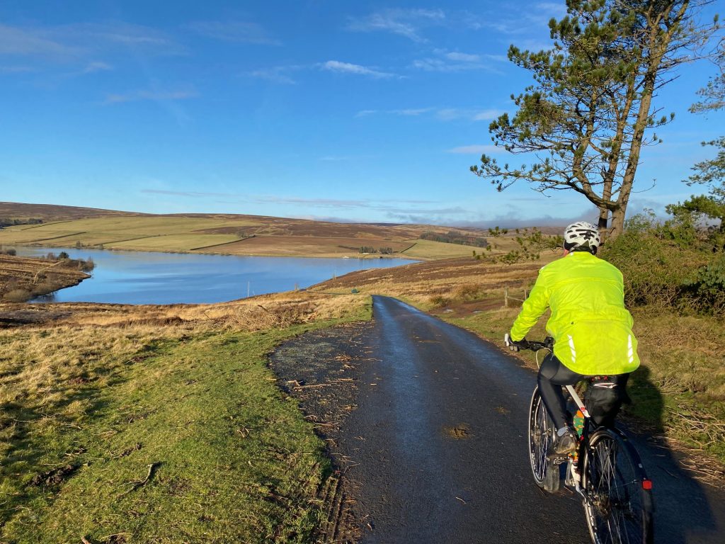
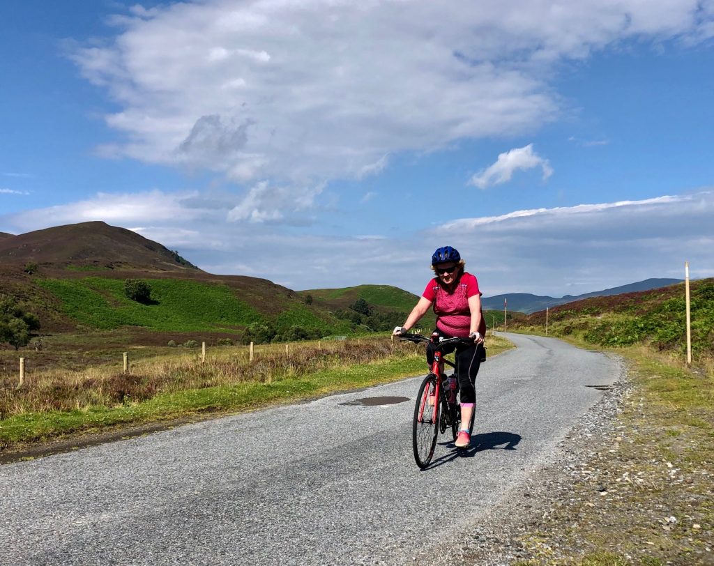
We found ourselves in Mallorca for a week’s cycling that coincided with a spell of unseasonably poor weather. However, on this particular day it was at least dry, despite being cold and windy.
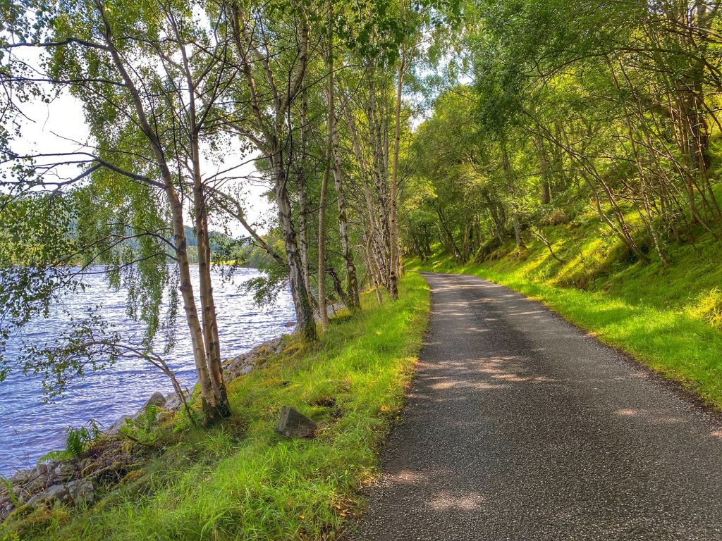
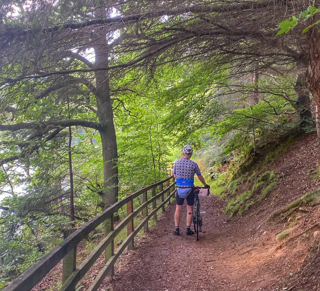
Our plan was to have a relatively easy day, staying mainly on the plain and using various back lanes to shelter from the wind, as suggested by Lynne Morris. We headed out in a generally southerly direction, zigzagging through the peaceful lanes. Particularly enjoyable was the cami de Can Melia, which was very narrow and wound its way first up, then down through woodland in a pleasing serpentine fashion. If there had been any traffic, we might not have enjoyed it quite as much!
At the end of this cami, we turned right onto a main road, but as often is the case with Spanish roads, this one had a wide verge on either side, which acts as a de facto cycle lane. At this point, we realised that the wind was behind us, as we sped along at 20 mph while scarcely pedalling at all.
We turned left after a while, onto a road running along the edge of flat marshland, with tall reeds on one side or the other. Another turning put us more in the direction of Muro, taking us there through flat farmland. We passed by artichokes, onions and cabbages, but most of all, vast fields of potatoes.
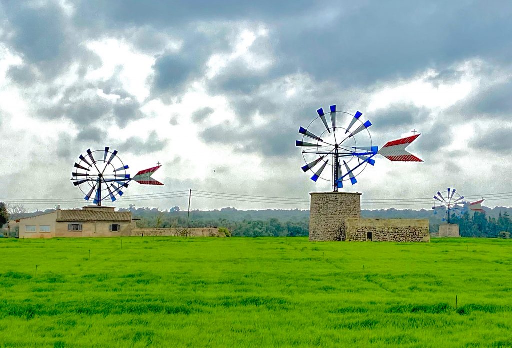
This is also the land of Mallorcan windmills. We saw lots in various stages of delapidation. Some looked almost pristine, but not even these were turning in the ample wind available on this day.
After various right angled turns between fields, we got onto a long, straight road that led along the flat, and then finally upwards to Muro. A left turn onto the busy main road took us the final yards into Muro town. I followed Lynne’s route into Muro, until we reached a crossroads that I recognised. So we dismounted and walked up to our left, where we saw the familiar sight of Panador forn Muro. This bakery / cafe has legendary status among the people we cycle with, so it was undoubtedly time for a cake stop.
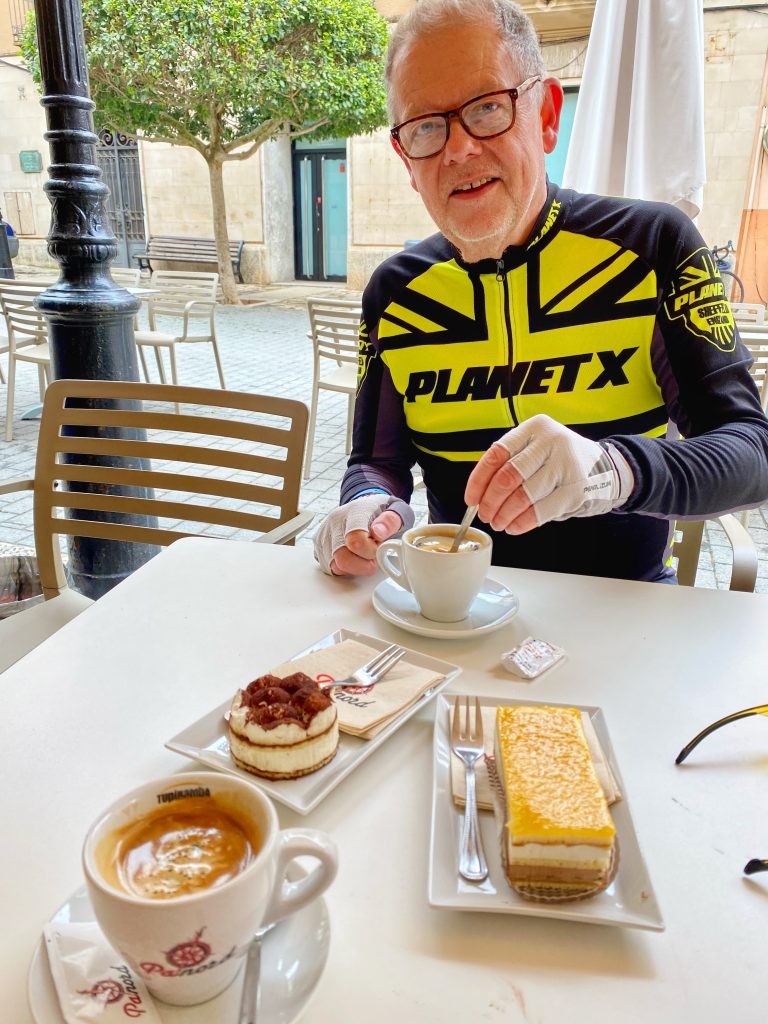
I ordered a tiramisu and Colette had something unidentified, but equally delicious. Two cakes and two coffees for 7 euros: a bargain as well!
Leaving Muro, I missed our turn and got lost in the labyrinthine one-way system. I was stood there, looking at my map and trying to work out why I couldn’t find the road out, when a local stopped and kindly explained that the road was actually beneath us! We had to loop round and under a bridge, then we were flying away downhill out of Muro and into some rolling countryside.
Shortly after this, we departed from Lynne’s route onto one of my own devising, aimed at taking us to the main feature of the day’s ride: the Parc Natural de s’Albufera.
The quiet lanes gradually gave way to busier roads, taking us in the general direction of Can Picafort. Luckily, it didn’t take too long, and once we reached the coast road, we stopped at a handy Eroski supermarket to buy some water and a little something for a mini-picnic in the natural park.
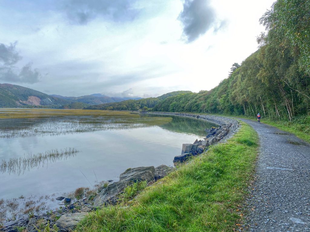
We then headed north on the Ma-12. It was a lot less busy than the previous time I went that way, and the “cycle lane” was clear of parked cars. The dunes to our right blocked the view of the sea, which was just a short distance away at this point. However, our destination was the wetland habitat to our left. After a few miles, we came to the entrance to the park, which has a somewhat intimidating no entry sign. It turns out that refers to cars only, as walkers and cyclists are expected to enter there.
The park has a strictly “no sport” policy. So jogging is banned, and bikes are supposed to stick to a 10 kph (6 mph) speed limit. About half a mile in, we reached the Sa Roca administration building, where we obtained our (free) permission to visit, and picked up an information leaflet.
We back-tracked a little, then turned south onto a dirt track leading between reeds. Every now and then, there was a wooden viewing platform that you could climb, getting you above reed height and allowing you to survey the surrounding area for wildlife.
At the first two, we didn’t see much of note. The second one had a bench, where we tucked into our spinach and ricotta pasties that we bought at Eroski earlier. It wasn’t till much later that we discovered that picnics are forbidden in the park. Oops, sorry! We won’t do it next time!
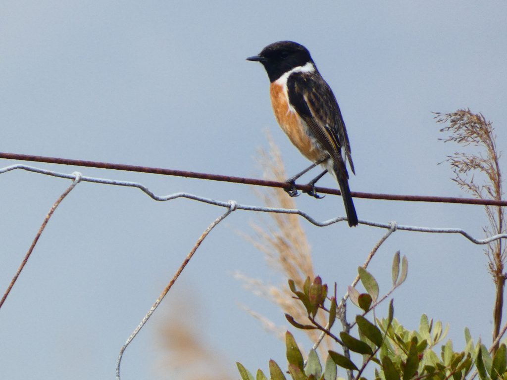
Stonechat
Further along, we stopped when a stonechat very obligingly perched on a wire just next to us. It waited patiently while Colette got her camera out, fired off a load of close-up shots, and then the bird flew off the minute Colette was finished.
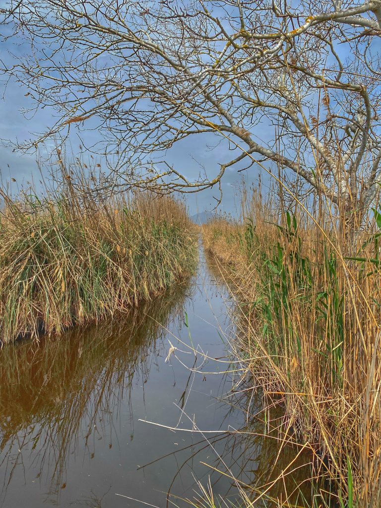
A network of narrow canals runs through the park
At the south end of the dirt road, it made a right turn, which we followed. The sun was now making a hazy appearance, and in the shelter of the reeds, I began to get positively warm, so off came one layer of clothing.
A bit further along, there was another platform, this one significantly higher. I might have ridden past, but Colette was keen to give it a try. Up we went, to find that it gave a great view onto the biggest pond we had seen to this point. There were a number of different species of duck on the pond, so I got out the binoculars so I could have a shot at identifying them.
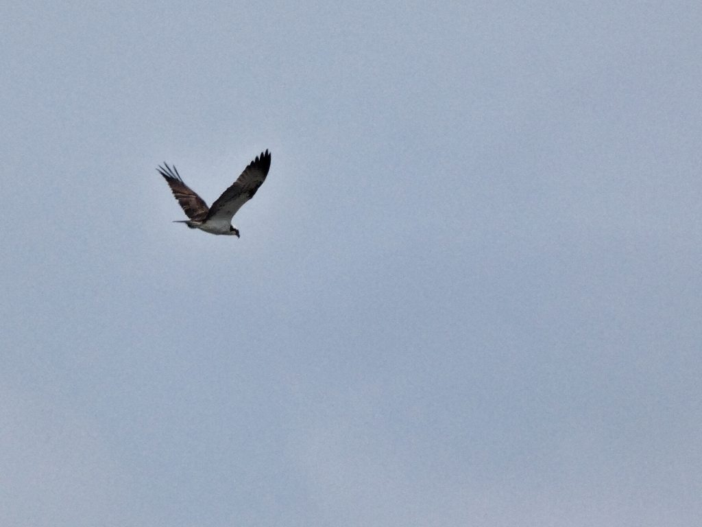
Osprey!
Then a fairly large bird of prey flew in. I said I thought it might be an osprey, and it certainly looked like one after pointing the binoculars at it. Colette tried to get some photos using her good camera, but she wasn’t convinced that it had worked. In fact, they actually turned out pretty well!
The osprey used the wind to kind of hover over the pond, and even made a few tentative dives, but then a gull appeared and chased the osprey off. We were both thrilled to have seem it, making the trip to the park very worthwhile.
We exited from the southwest end of the park and took various quiet lanes to hook back up with the route that had earlier taken us to Muro. As we approached the fast road, where we had been wind assisted on the way out, a horse and cart emerged from a side road ahead of us. It turned onto the busy road and continued in the “cycle lane”. It was going just a little slower than we might have liked, so when Colette and I had caught up behind it, I checked there was no traffic behind and shouted “big push, let’s get well ahead”. That we did, but Colette was nervous that it would catch us up again. In fact, it nearly did, as it took quite a while before a break in the traffic allowed us to turn left back onto the cami de Can Melia once more.
So we had a chance to enjoy this wonderful cami one more time before ticking off the final few miles back to Puerto Pollensa. We headed to the sea front and Gran Cafe 1919 for a snack and some delicious sangria. At the coast, the sun was now hidden by cloud and the fresh breeze made it feel a lot cooler, so layers went back on, and we didn’t feel like hanging around in the chill breeze once we were finished. We were keen to get back to the hotel anyway, to check out those osprey pictures!