This year, we decided to try cycling somewhere new and homed in on Corfu as a possibility. We booked the Ipsos DiMare hotel in Ipsos, as it is situated in the north part of the island, which is generally regarded as the most scenic.
On arrival at the hotel, it became clear that there was not enough space for our bikes in our room. Nor was their anywhere secure to store them, although we were assured that the staff car park would be safe, and so that’s where we stored them, locked to a pillar with a flimsy cafe lock.
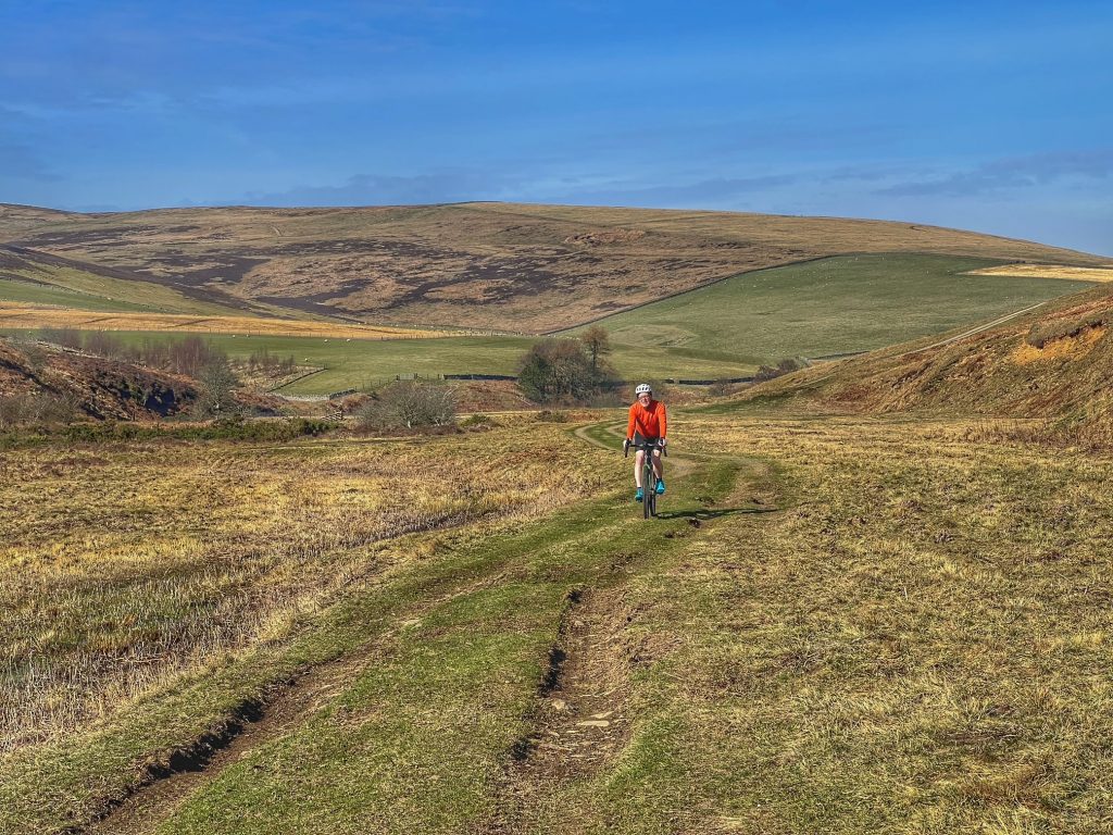
Luckily, I had watched a YouTube video on cycling in Corfu, and heeded the advice to bring a gravel bike. The roads can be quite rough, so the extra tyre width really helps, as well as the low gears when hitting some of the more severe gradients. If you had a road bike, you would be restricted to riding on the busy main roads.
I forgot to bring one or two bits and pieces, so we had a trip to Geo Bikes in Dassia as a priority. While there, we were told some good places to visit and which roads would be best for cycling. So we took their advice, and decided to try out the Sokraki climb on this particular day.
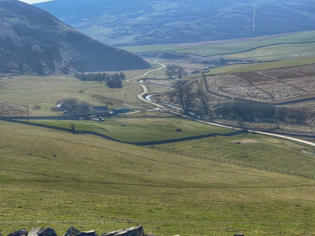
First, we headed north from Ipsos along the sea front till we reached the foot of the mountains. The main road then bends to the right to follow the coast, while we took a left at the tricky junction, heading for Agios Marcos.
The narrow road we turned into then headed west along the base of the mountain/cliff feature that cuts across the island here.
Suddenly it was more peaceful and we were now riding through wooded countryside with abundant wild flowers in the verges. After a while, we reached the sleepy village of Ano Kovakiana and began the climb to Sokraki.

This is a steady climb of about 900ft, with 22 hairpin bends and next to no traffic. The views we had of the south of the island were teriffic. Once we reached the top and looked down, we could hardly see any of the road, due to the tree cover. I’m sure it would have made for a photo rivalling that of Sa Calobra in Mallora if it wasn’t for the trees.
There was nowhere open in Sokraki for a coffee, so we continued on our route west, more or less following the ridge line of the mountain. This was now giving views out over the north side of the island and beyond to Albania.
This road gave way, after a few miles, to a sweeping descent that ended at a junction with the busy 2224 road – the main route to the north – at a place called Troumpetas. I nearly came to grief at the bottom of the descent on a section of spilled gravel, so I got off and made sure Colette avoided it.
We joined the main road, but thankfully only for a few yards, before taking a left onto a quieter road (2229). First of all, the road climbed for a few hundred feet, making up for the descent we had just enjoyed, before flattening off again. The road was wider here, and we soon found out that it was frequented by coach tours, although most of the buses were parked as we went past, with their occupants perusing gift shops or taking refreshments in the various restaurants along the route.
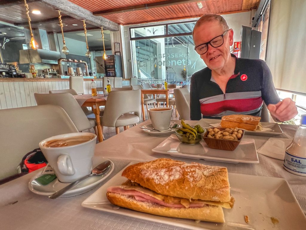
This lovely quiet road took us through the village of Vistonas, then on to Makrades, where we stopped for a belated coffee. It was good but pricey, due, no doubt, to it being on the coach route.
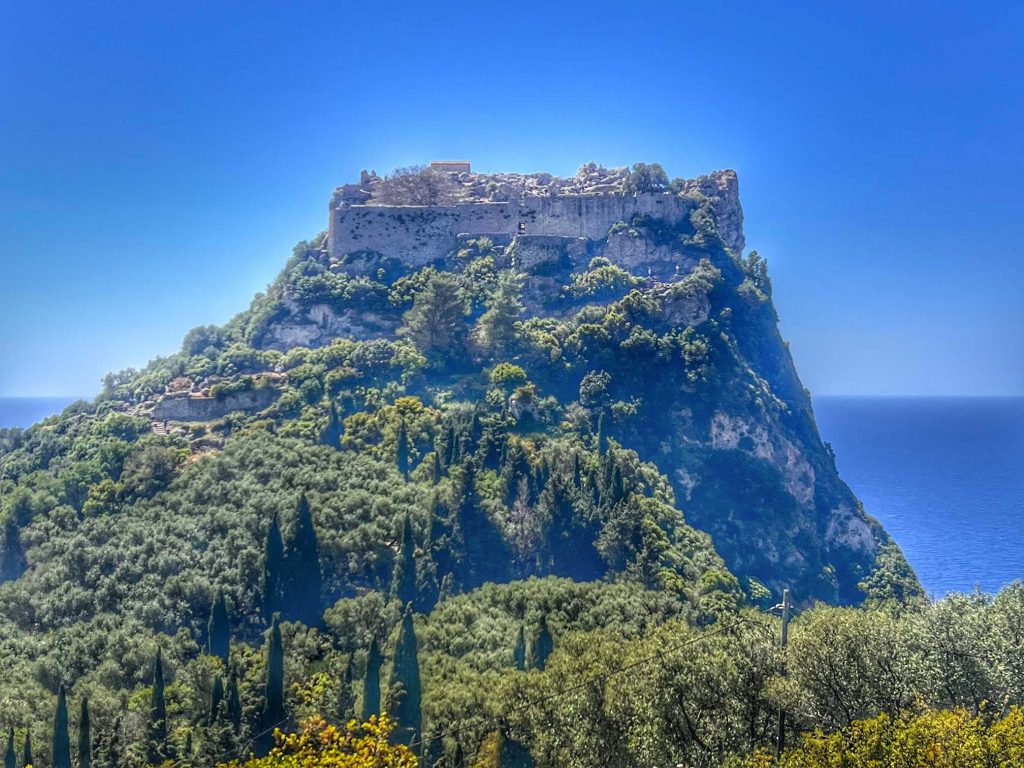
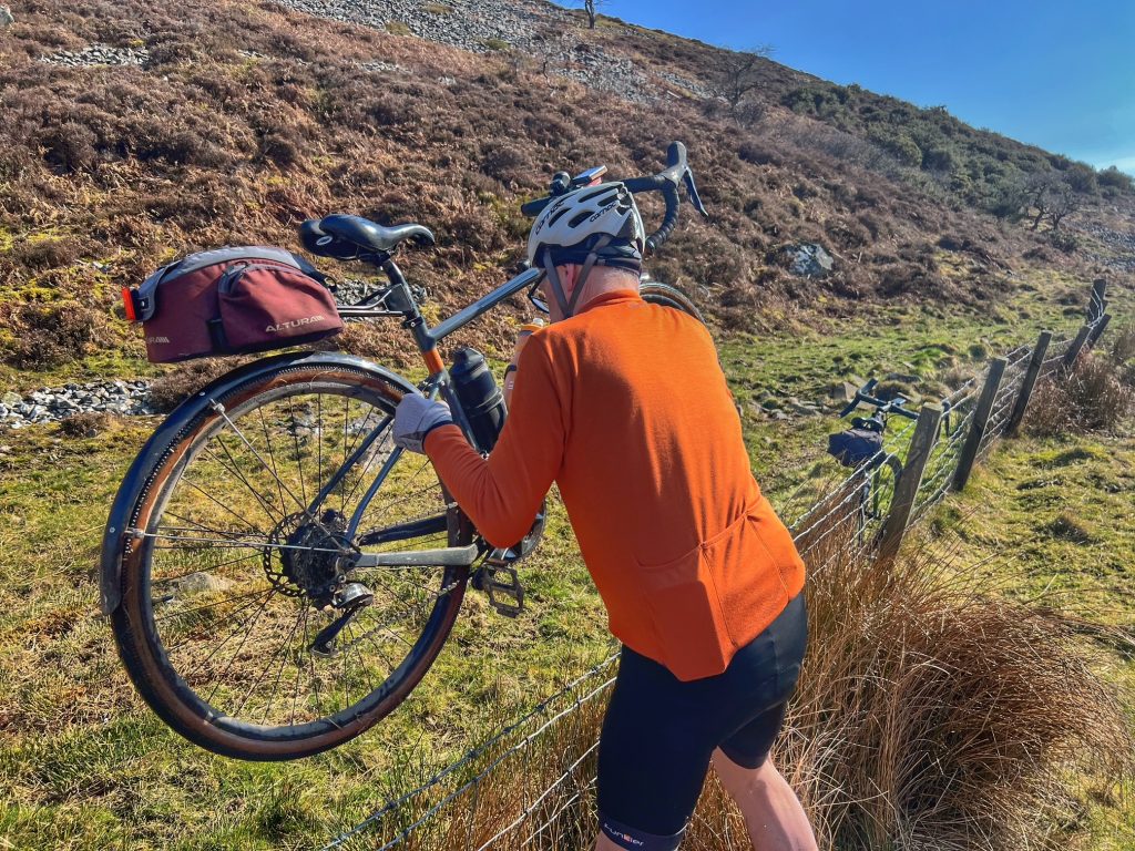
After that, we took the turning for Krini, another tiny village, that stands just to the north of historic Angelokastro Castle. The road to the castle descends steeply, with a potential pause about 2/3 of the way down for a viewpoint. We stopped there and climbed the rock to see the view.
The castle looked very impressive, and the steps leading up to it looked equally daunting. But we had come all this way, so we carried on…
At the bottom of the road, we secured our bikes then paid at the kiosk. Colette was delighted to get the over 65s discount!
The climb up the steps was nowhere near as fearsome as we expected, and soon we reached the entrance. We went in and wandered around for a bit, took some photos, then came back down.

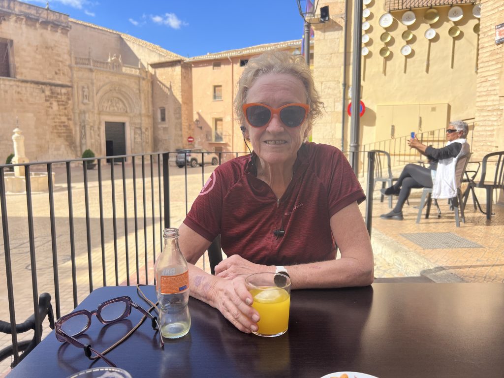
After that, we had some lunch at the restaurant alongside, which had a noisy and very colourful peacock in residence. The souvlaki were excellent – we were so glad we chose that place, which has a wonderful view of the castle and out to sea.
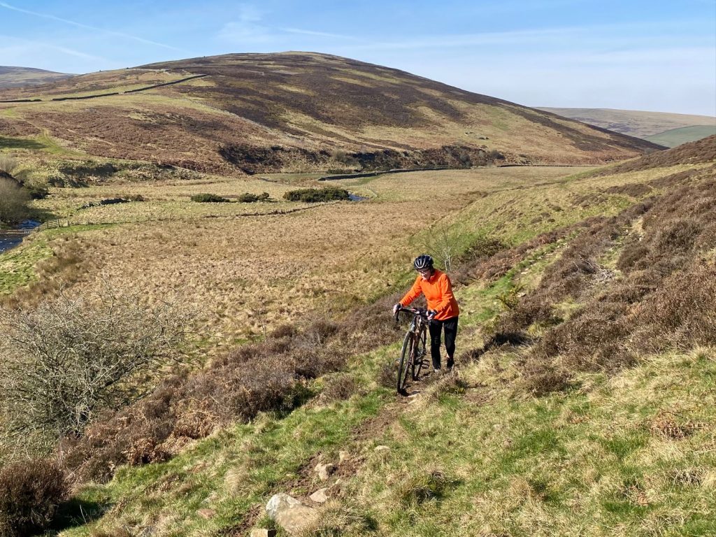
Finally we were ready to tackle the climb back up. It was very tough, but I managed it, needing a little rest in Krini before getting going again.
Our route now took us to a descent with wonderful views over picturesque Palaiokastritsa, with its rocky bays and profusion of small boats. At the bottom, we then faced a stiff half mile climb on a main road before it flattened off again. Shortly after that, we turned onto a minor road again, at the foot of the mountain ridge now, which was on our left.
From there, we twisted and turned along quiet lanes till be reached Dassia, leaving us just a short ride to take us back to Ipsos and our hotel.
It was such a varied ride, with lots of lovely scenery, great climbing, a spot of culture and a brilliant lunch. Oh, and the weather was lovely too!