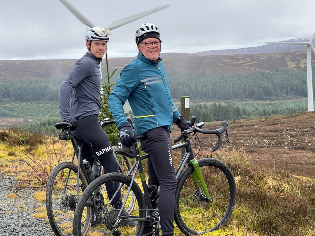
This particular Saturday had a great forecast, and with so much wet weather recently, we made sure to spend it out on the bike. As to deciding exactly where to go, we didn’t have much of a problem with that, as Oliver had a race in the Peebles area, and we volunteered to take photos.
The race in question was the Peebles CC 55 mile road race, for category 3/4 riders. As Oliver has only just started racing, he is on the lowest rung, category 4. He needs a few good finishes, or maybe even a win, to get him the requisite points to move up to the next category. He had a good feeling about this one, as the more experienced cat 2 riders were excluded from entering, giving him a better chance of a good finishing place.
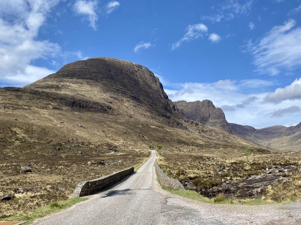
The race itself covered two and a bit circuits of a larger 22 mile lap starting at Broughton, followed by one and a bit laps of a smaller circuit, ending in a climb up the narrow road to Dreva.
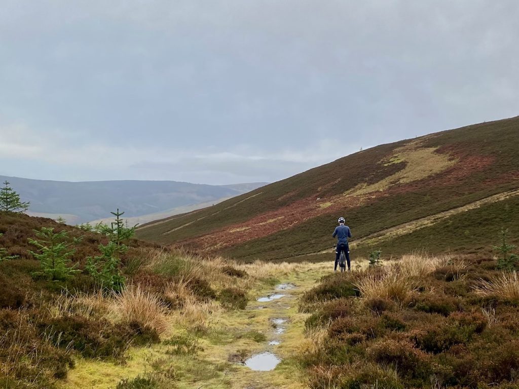
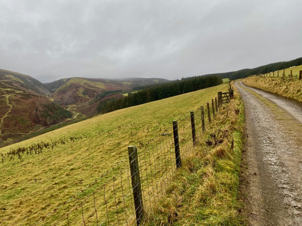
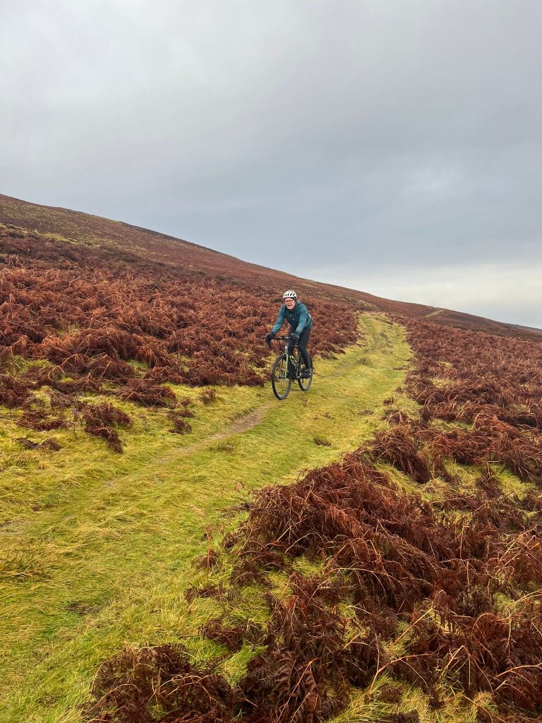
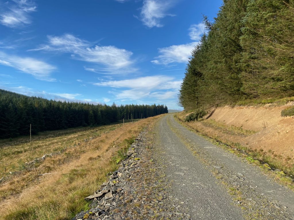
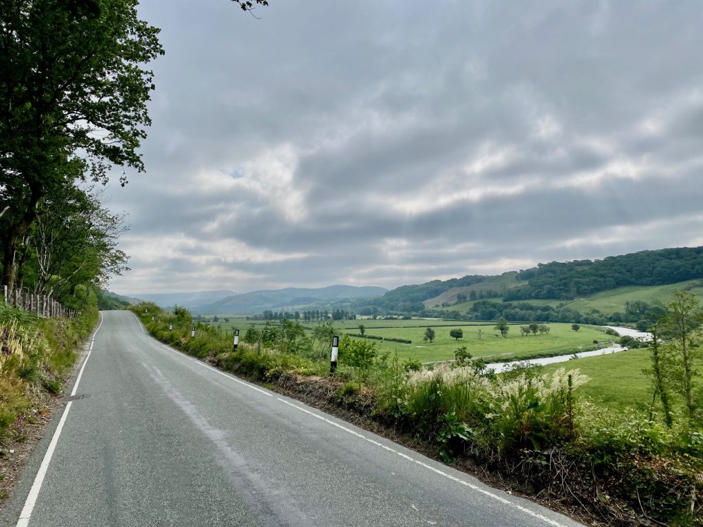
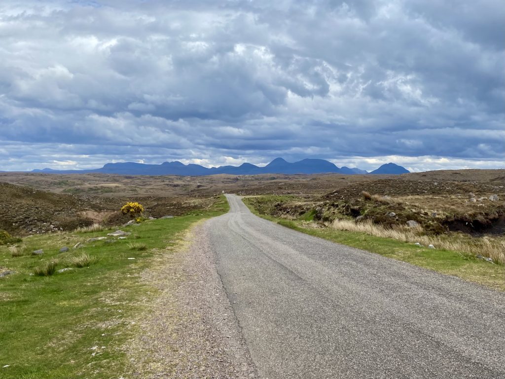
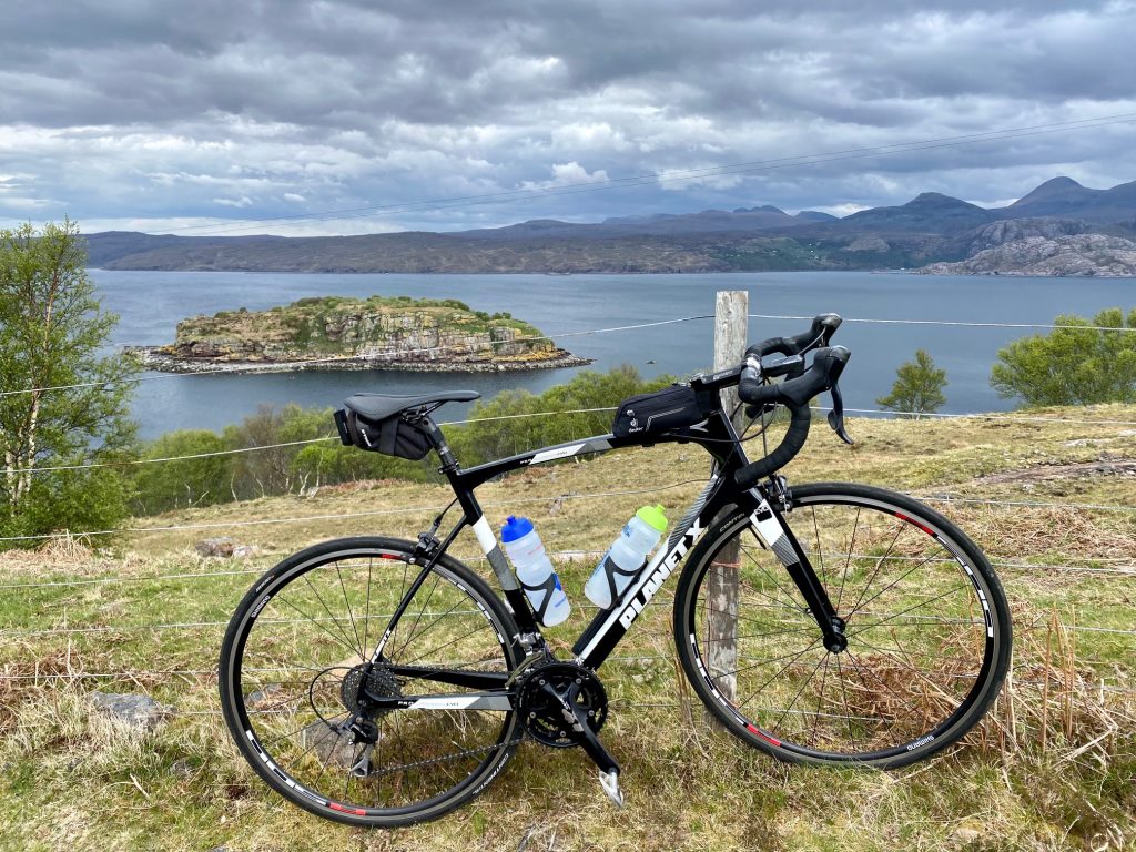
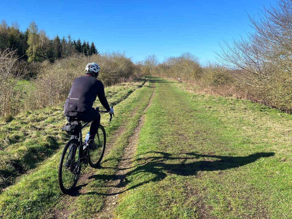
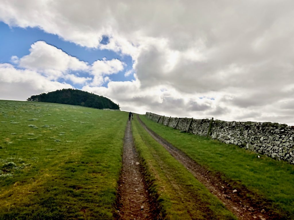
I devised a plan to ride down towards the route from Peebles, where if everything went to plan, we should get four opportunities to snap photos as the racers went past. So we started off from the car park at the west side of Peebles, heading west at first, then turning southwest onto the Stobo road. I was riding my gravel bike, mainly for the carrying capacity of the saddlebag for our picnic, and Colette was on her Ribble e-bike.
We were lucky that she was able to ride the e-bike, which is now her preferred bike, as it developed a fault recently. The hub had began sounding very rough indeed, which was disappointing as it is only 6 months old, with minimal use, due to Colette herself being out of action for over two months with her broken wrist. To be fair, Ribble did say they were willing to consider a repair under warranty due to the low mileage, but we simply didn’t have the time to box it up and send it off for an unspecified period of time, as we had planned cycles coming up.
All the repair shops we called had at least 3 week waiting lists, so I decided to have a go at replacing it myself. It wasn’t cheap, at £80 for the replacement hub and another £80 for the tool to replace it, but with a bit of effort and some patience I managed to fix it. Phew! Worth it to have the bike back up and running so quickly.

Anyway, we were on our way to meet up with the race when we saw the first of the motorbike outriders coming towards us. We had reached the entrance to Stobo castle, so we stopped and got the iphones out. As the peloton arrived at top speed (there was no breakaway at this point), I tried to take photos in burst mode, while Colette took successive live pictures. My attempt failed, while Colette was more successful. I had been so concerned about taking the photos that I didn’t even realise that Oliver was on the front of the bunch! Live photos for me next time…
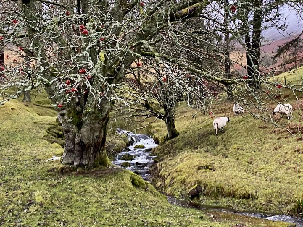
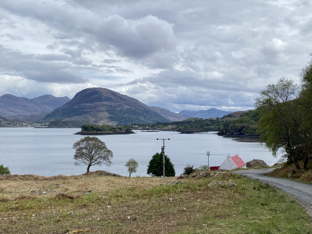
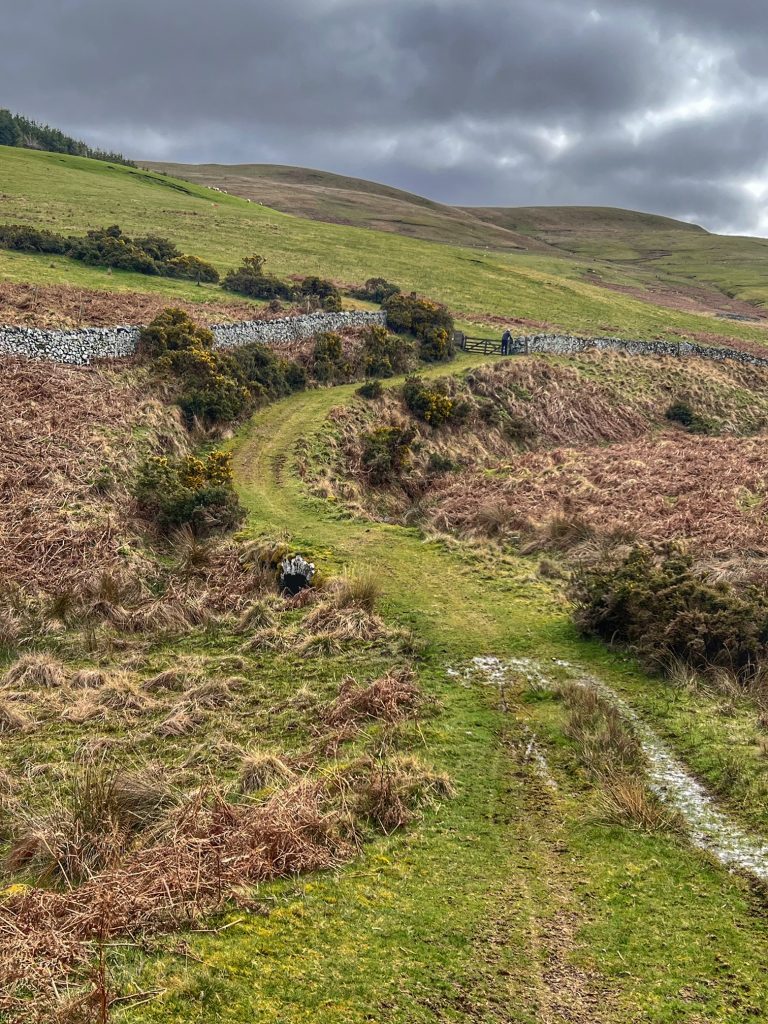
We carried on past Dawyck then through Drumelzier, and stopped on the bend at the top of the climb from the bridge just beyond. The climb would slow down the racers enough to get the best quality photos. As we were waiting, we were joined by another woman whose son was in the race, and later by another rider who had done the race the year before, but was just watching for his friend this time. Both of them remarked how much better the weather was this year than at last year’s event.

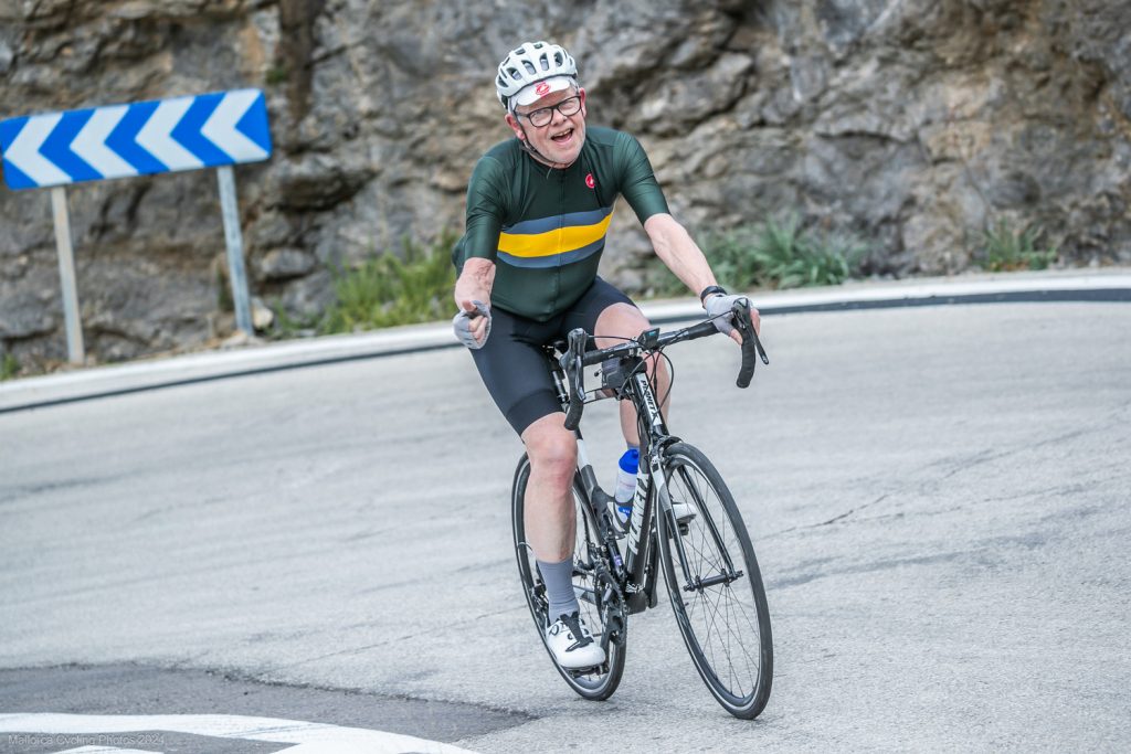
Come on Ollie!
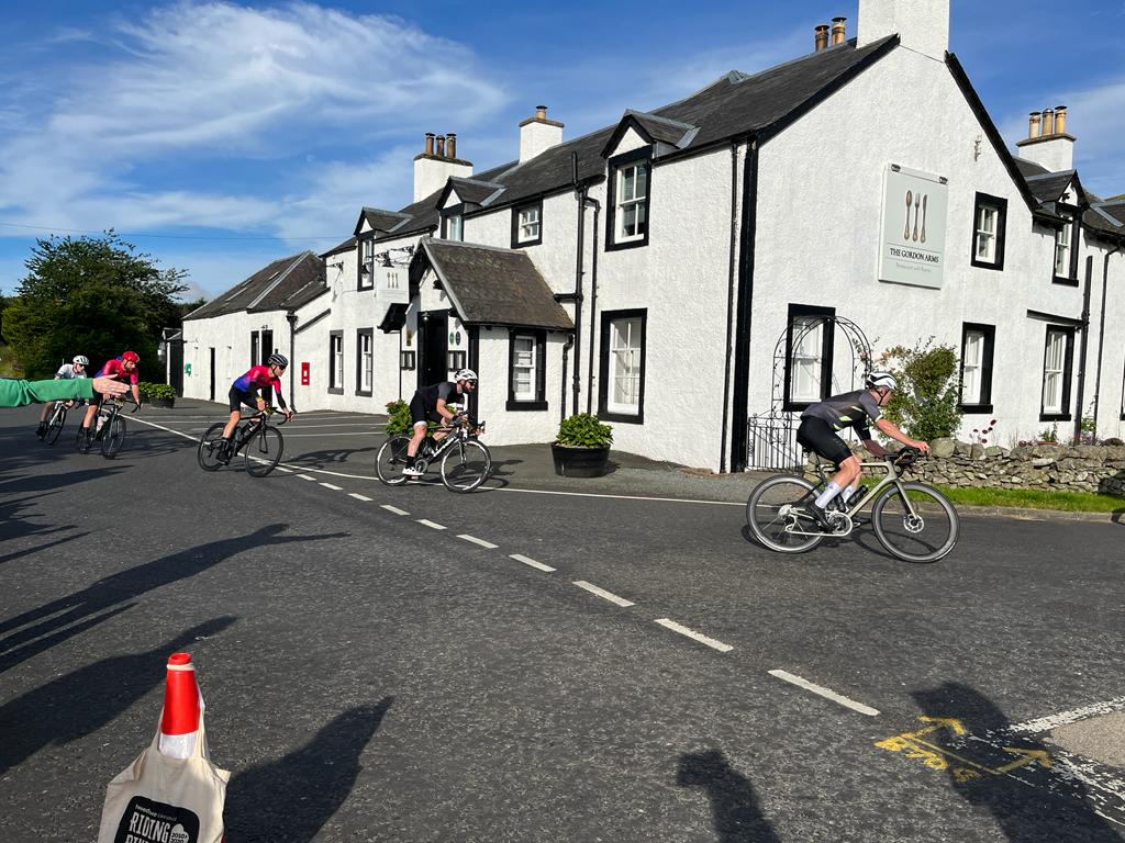
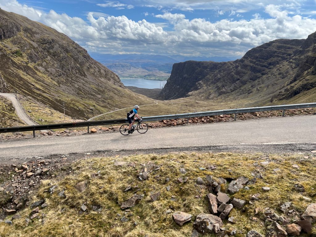
When the race arrived, we were ready with our phones, and I managed to ring a cow bell and cheer at the same time as taking successive live photos. Oliver was part of a two man breakaway, with the rest not too far behind. Our photos turned out great!
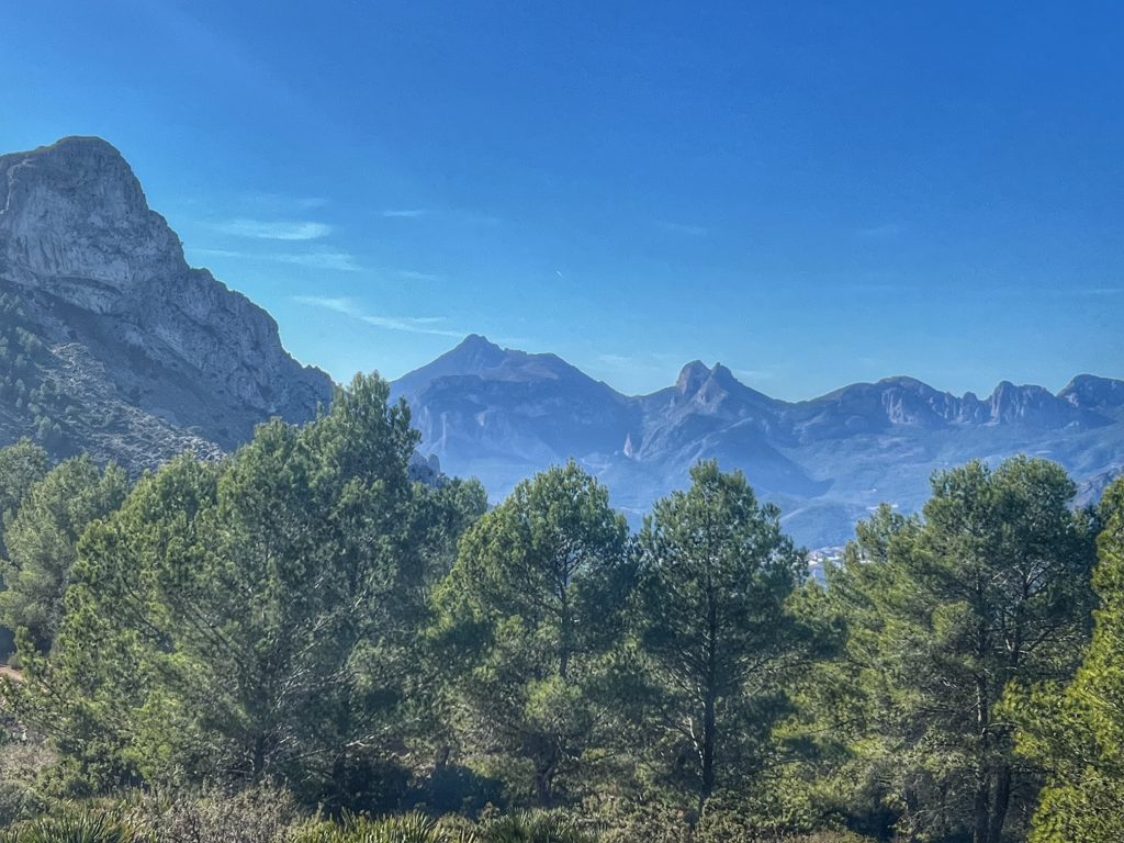
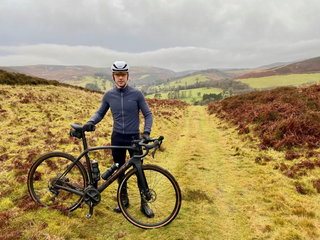
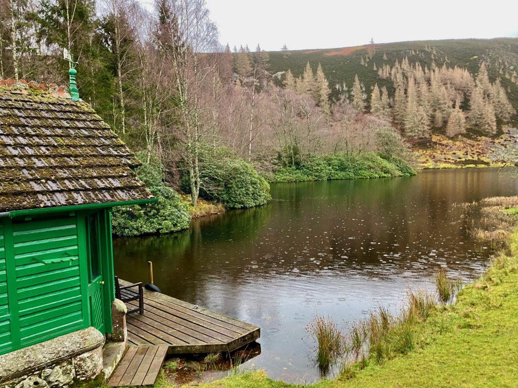
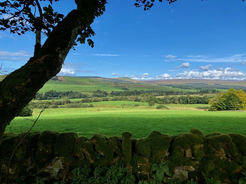
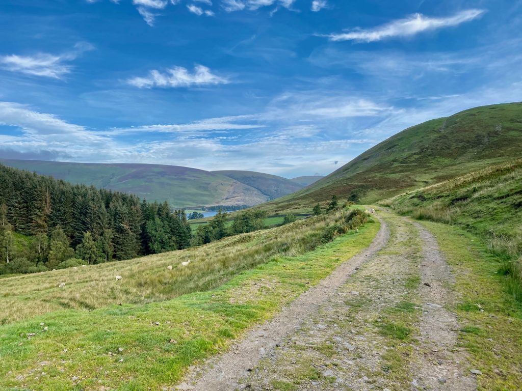
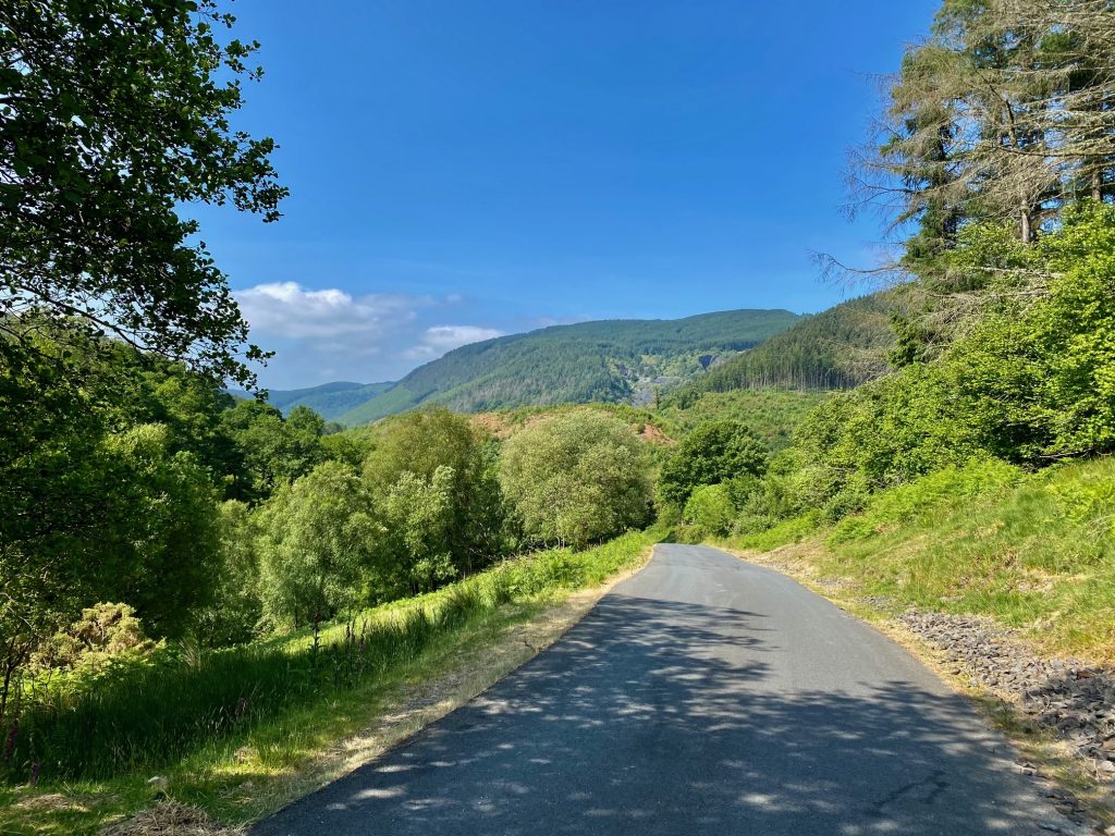
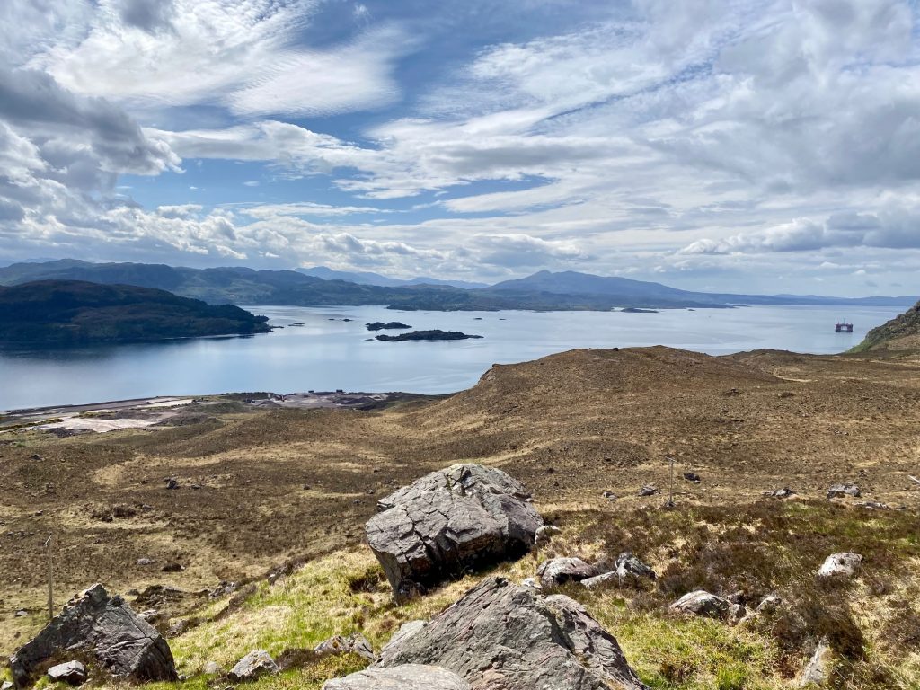
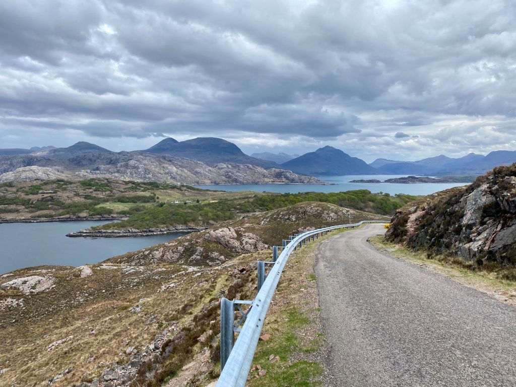
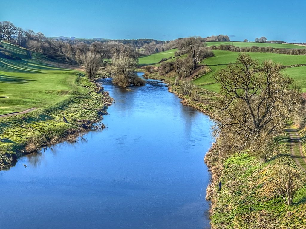
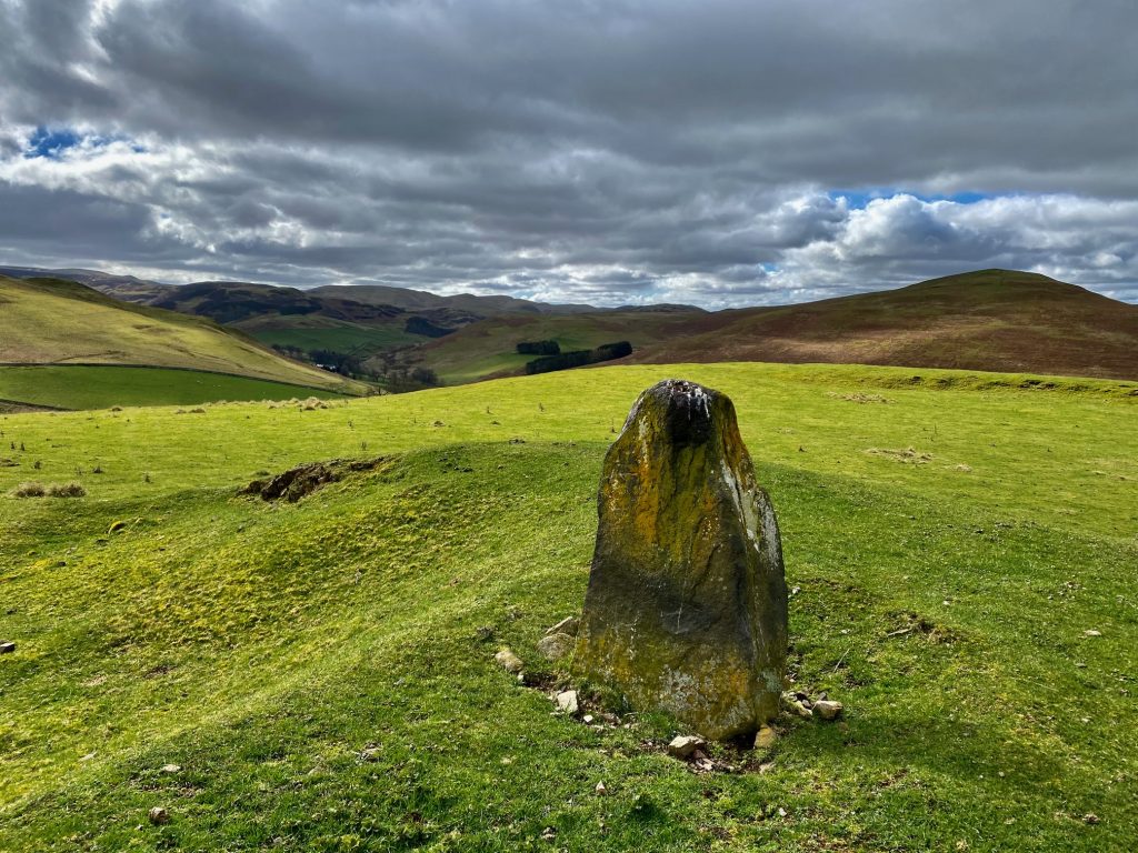
Next, we carried on down the hill, over the bridge and maybe a half mile further on before turning right onto the small road from Dreva that forms the final part of the race. We had plenty of time to climb the few miles up to the finishing point and enjoy the stunning views in perfect sunshine.

Tweed Valley looking splendid
When we got to the finishing line, there were marshalls getting everything ready. Colette and I stopped just before the finish line and propped our bikes next to a gate, before climbing over and having our picnic in the field. We were wondering whether Oliver and his companion had managed to make their breakaway stick. In fact, they did get a good gap, but then it gradually got clawed back when they hit a long flat section into the headwind, so they went back to the bunch. Oliver then got involved in another two-man breakaway later on, and they were in a good position with 10 miles to go when they were told to stop. The race had to be halted due to lack of emergency medical cover. There had been some minor crashes in the bunch and then a major unrelated traffic accident that had called on the services of the first aider. With an air ambulance being called for an injured motorbiker, the first aider had to stay and wait, and ultimately the race was cancelled.
That was such a disappointment for Oliver, as he was confident of a good finish, or maybe even the win. It was quite the anticlimax for us too, as Colette and I rode back to the car park at Peebles. However, we still had the photos to go through later, and Oliver was able to send lots of great action shots to the other guys in the race. He also has quite a few more races on the calendar in the coming months, so hopefully it won’t be too long before he starts racking up some points.