Just over 6 months ago, our eldest son Oliver started asking to borrow bikes to do some cycling as part of a fitness / weight loss drive. Keeping track of his rides on Strava, it didn’t take long for him to start trying to go longer and faster on subsequent rides, and pretty soon he was hooked. In these intervening months, he has transformed himself into something of a road warrior with an ever increasing list of KOMs and top 10s to his name.
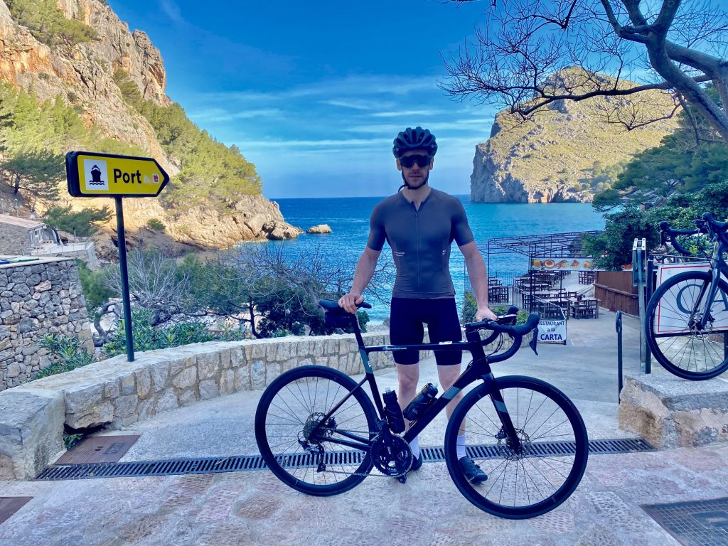
While Colette and I were in Spain last October, we realised that Oliver would love riding those super smooth roads, and challenging himself on the climbs. He jumped at the chance when we suggested a short trip to Mallorca at the end of March 2023, and was particularly looking forward to the Sa Calobra climb, which is must-do climb for pretty much every keen road cyclist in Europe.
So Oliver and I arrived in Puerto Pollensa for a four night stay, leaving Colette at home, as she didn’t want to hold us up. I felt bad about it, but Oliver was going to be holding himself back enough with me on his wheel, and Colette said now I know what its like for her to ride behind me.
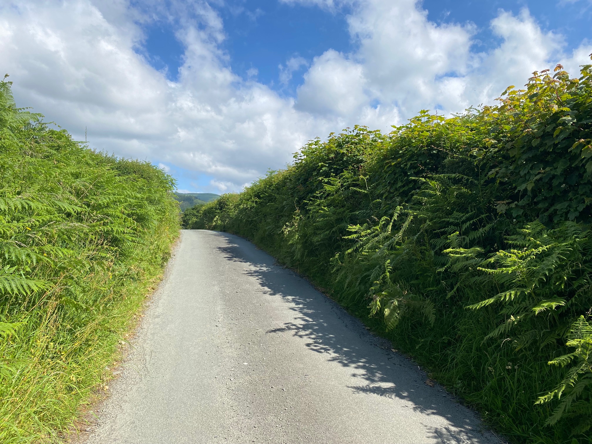
We picked up our hire bikes on the afternoon of day 1 and had a bit of a ride around to get the hang of them. Day 2 began bright and early, as we needed to ride out to the Duva hotel to catch the shuttle bus at 8am.
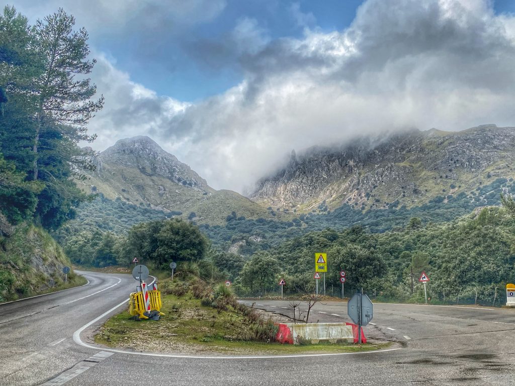
After last year’s experience of the Sa Calobra express, I was keen for Oliver to take advantage of it too, as it allows you to get early to the Sa Calobra road and get it pretty much all to yourself. In fact, it turned out to be a very good idea, as we discovered from the bus people that the direct road (Ma-10) from Puerto Pollensa to Lluc was closed between the hours of 8am and 4pm for roadworks. The bus had to go via Inca and Caimari, then carefully up the Coll de Sa Batalla climb, after which it stopped at the Repsol garage.
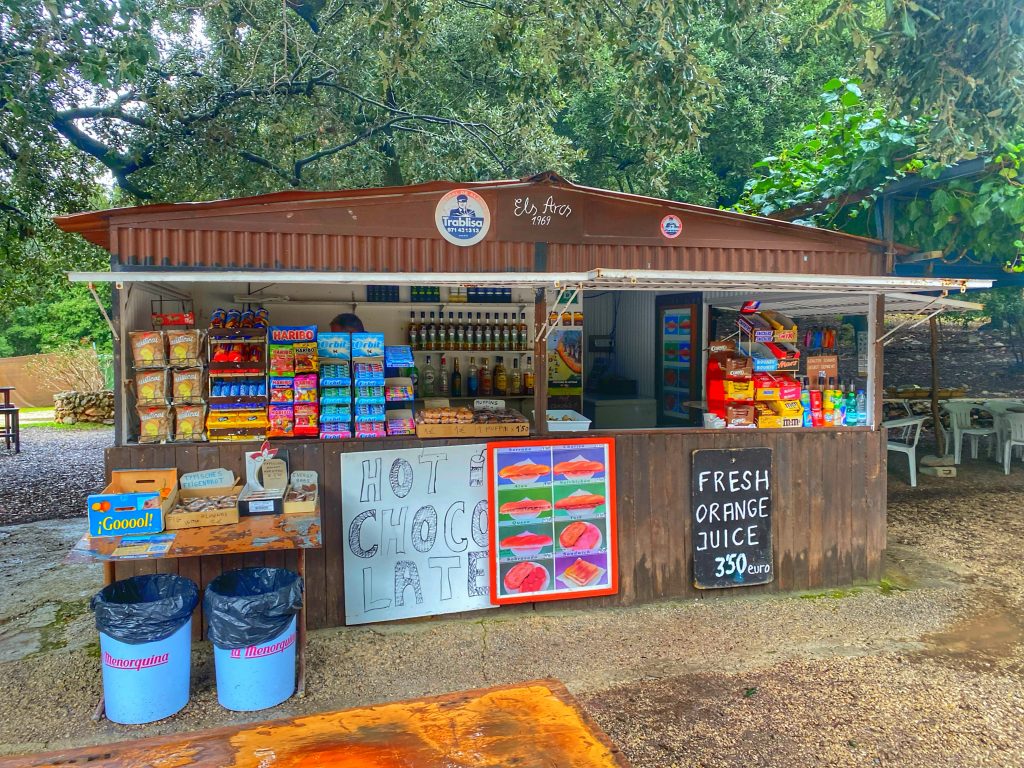
Luckily, the cafe was open, so Oliver could borrow one of their track pumps for a minute to reinflate his front tyre after managing to lose most of the air from it with the defective pumps at the Duva while we waited for the bus. Then we were ready for the off.
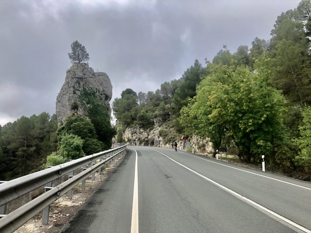
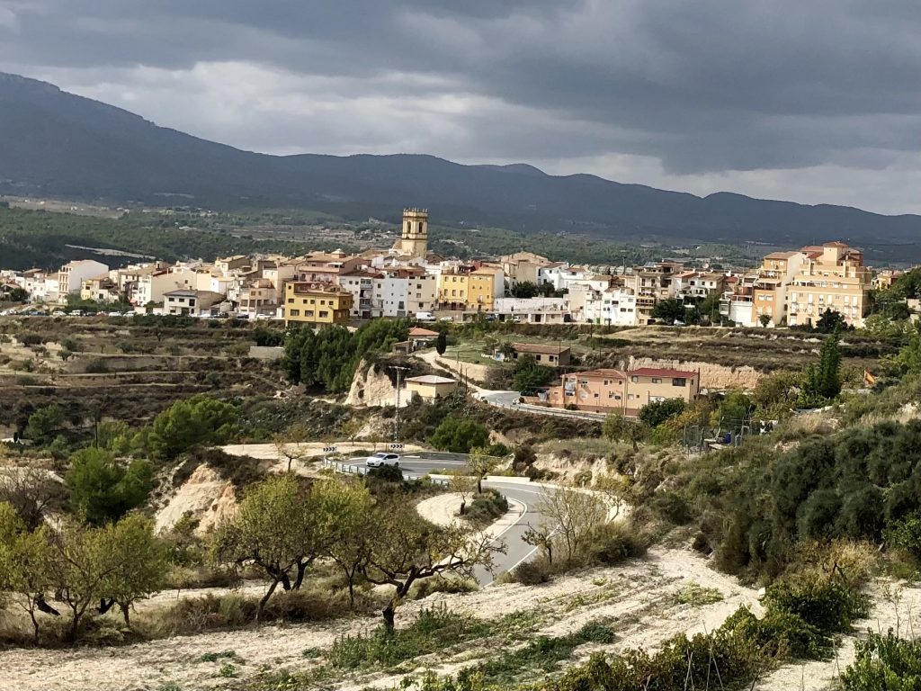
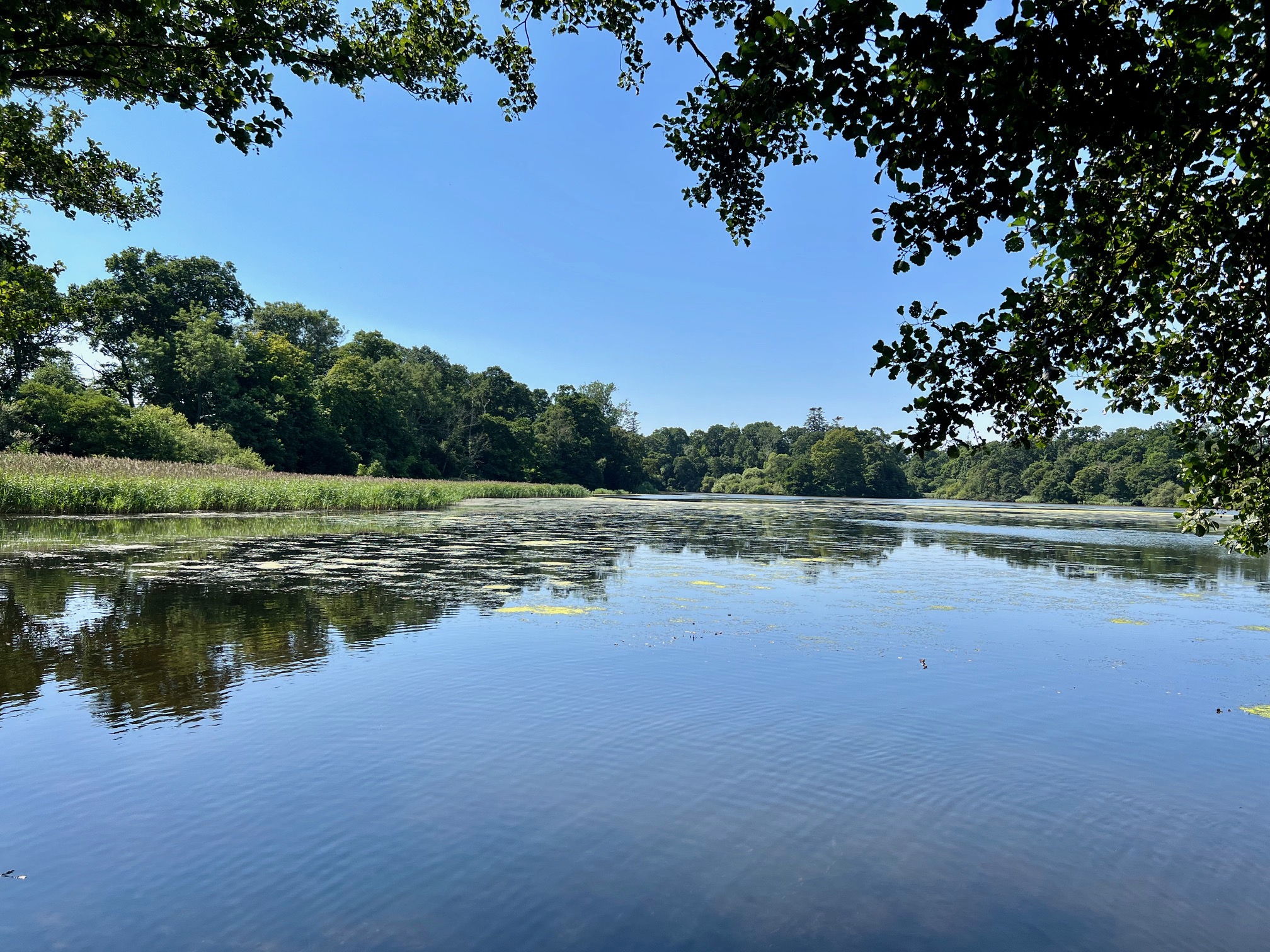
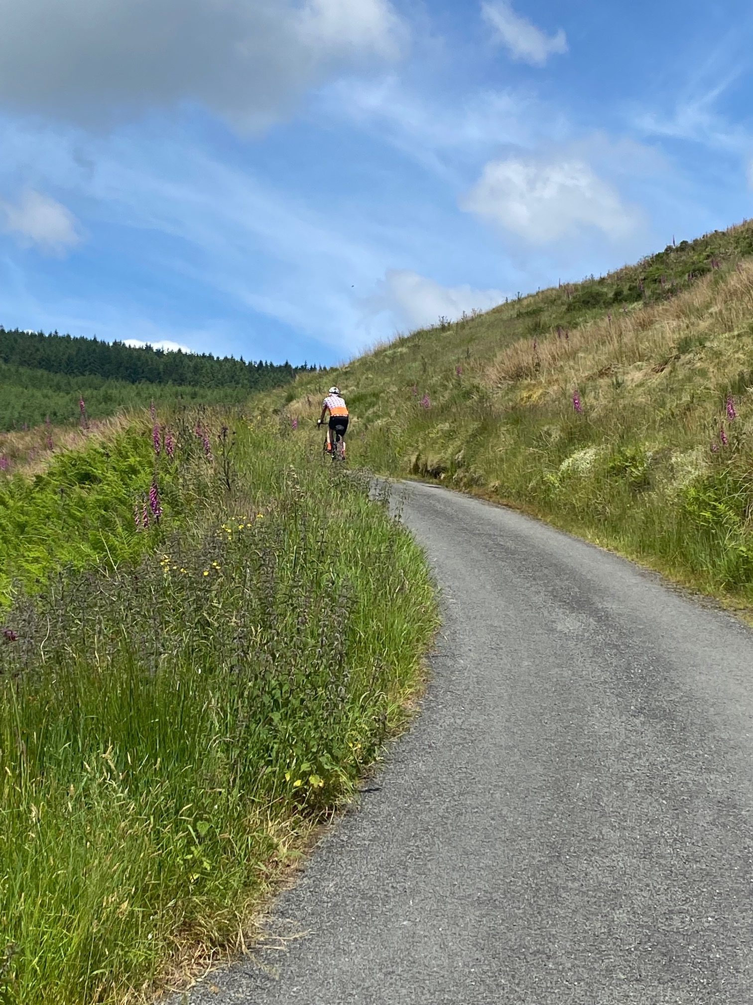
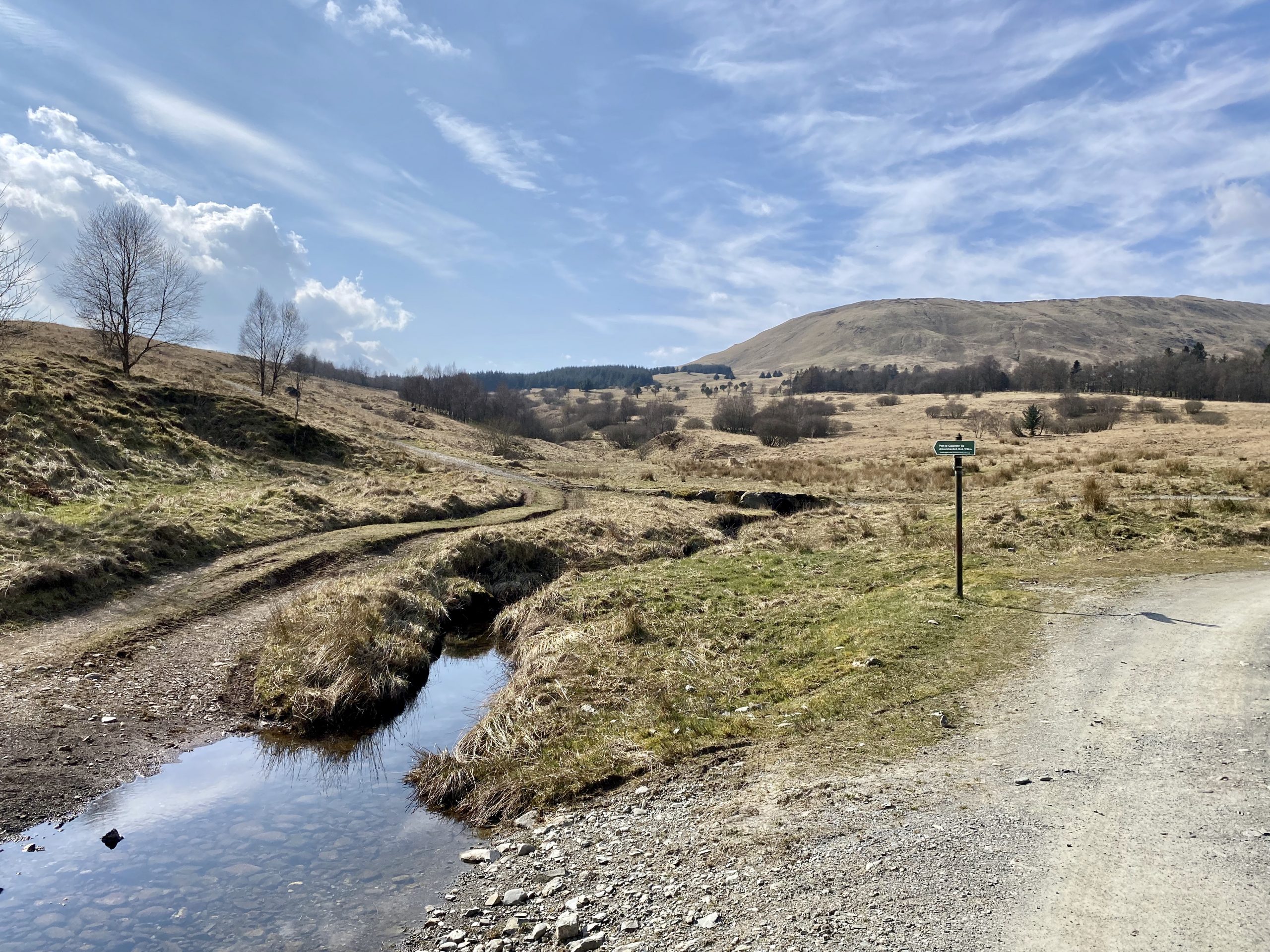
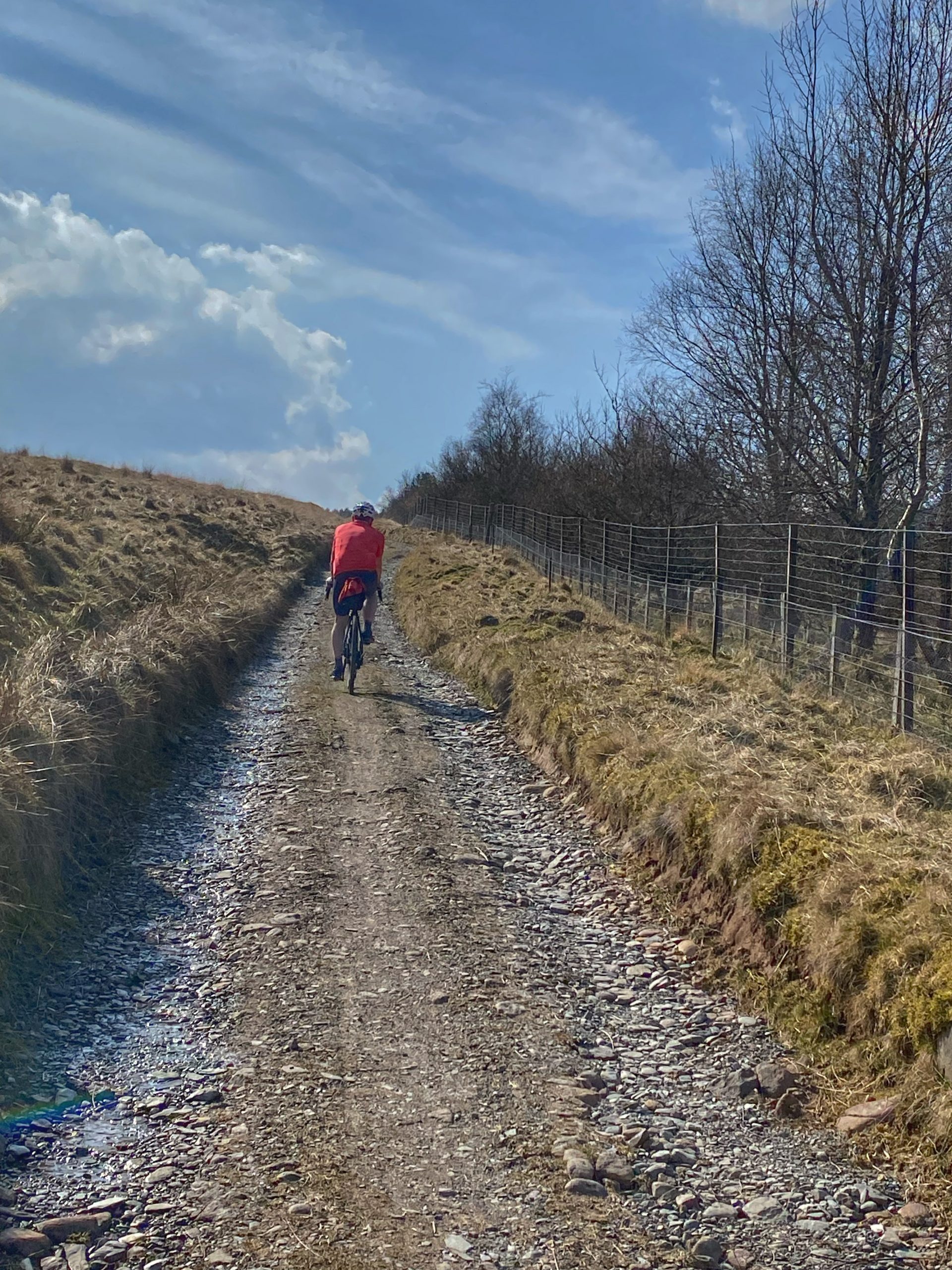
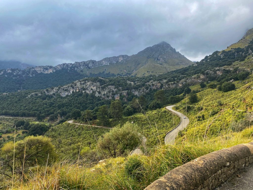
This year, the drop off point was a bit further away from Sa Calobra, leaving us to cover the 5 miles or so past Escorca to the juice shack at the aqueduct where Colette and I started previously. We stopped at the viewpoint on the way there to admire the view in full sunshine, which was a lot clearer than last year.
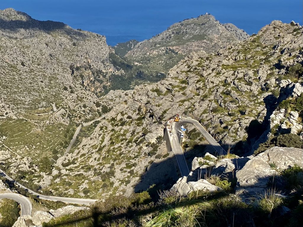
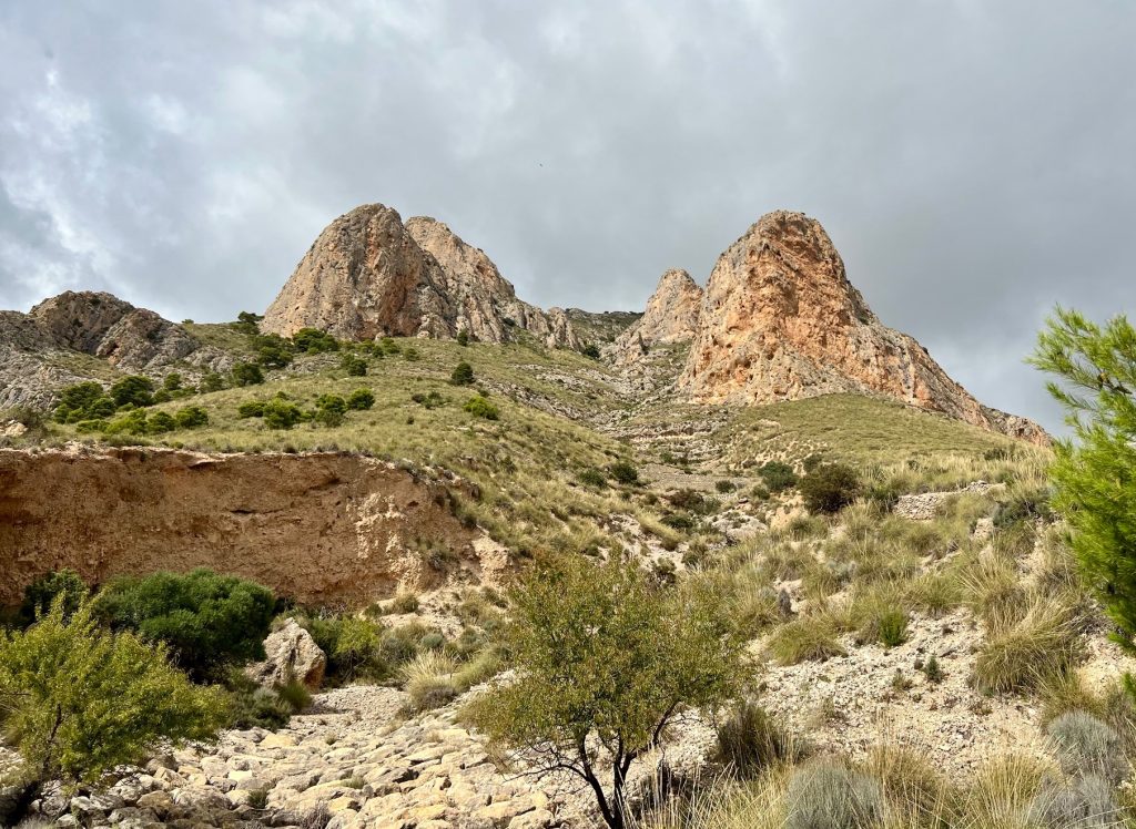
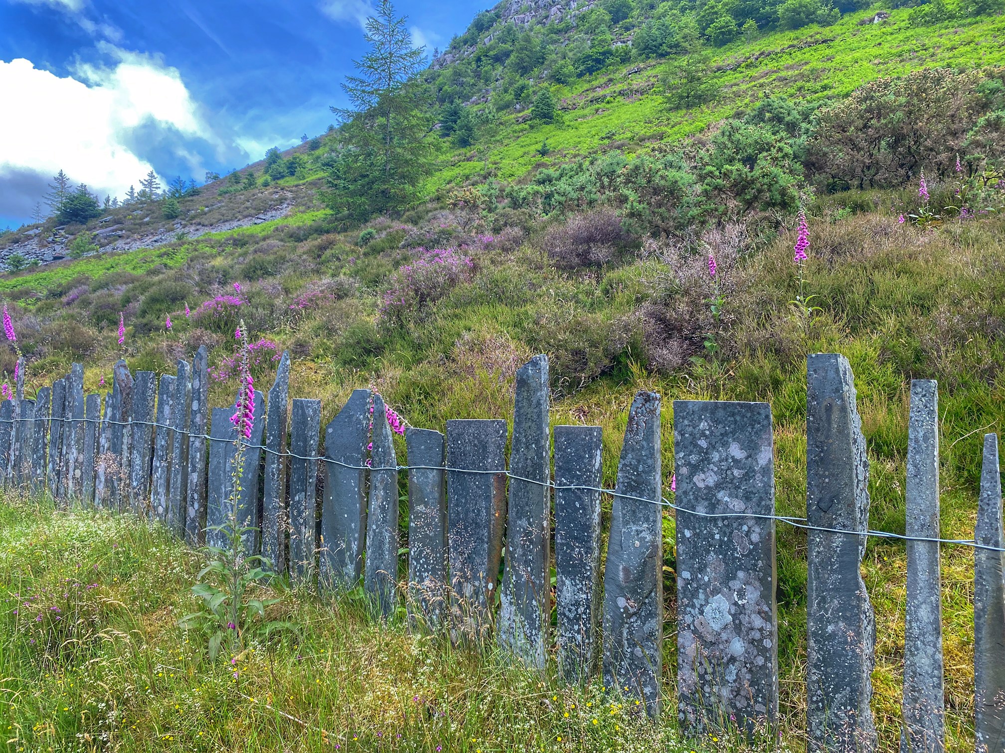
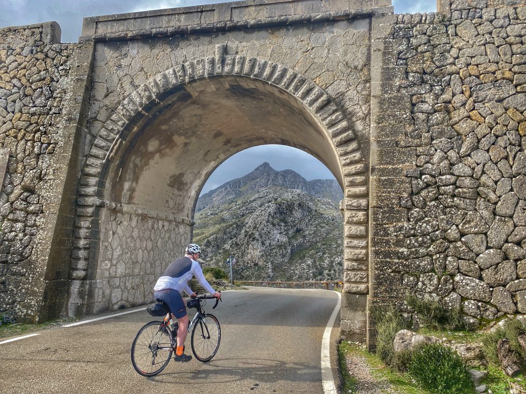
The road crew were hard at work fixing the Sa Calobra road when we arrived
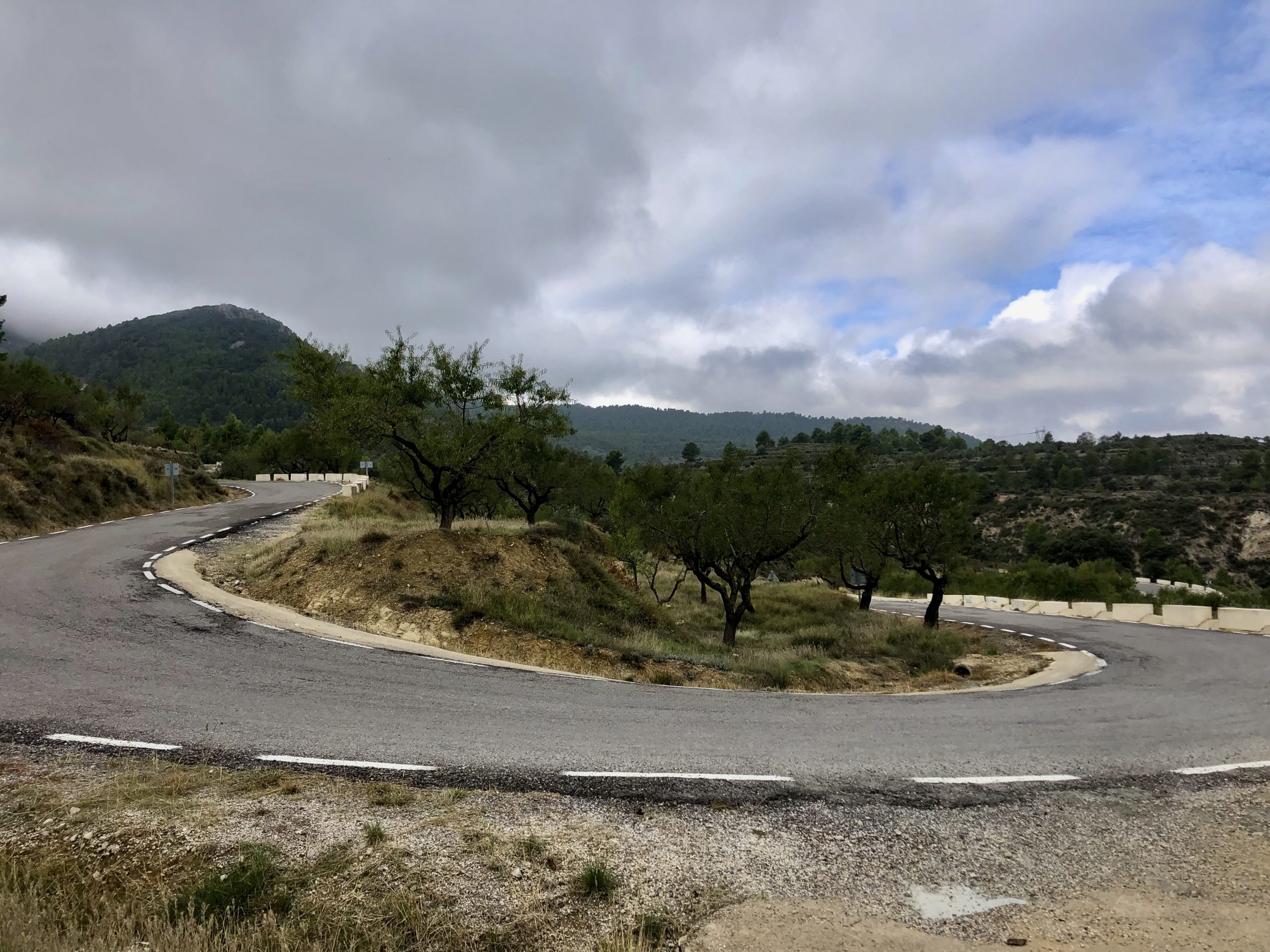
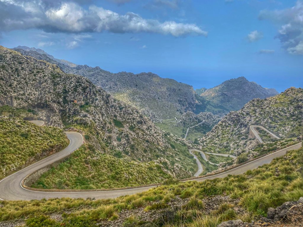
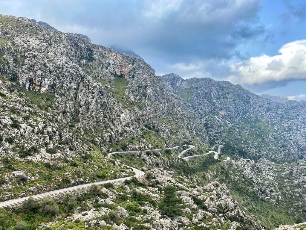
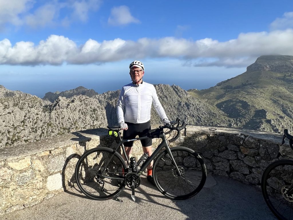
Then on and up the Coll dels Reis from the south side, leaving us the long descent down to the seaside at Sa Calobra village. I paused after a short while to look down on the roadworks where part of the road was washed away a couple of months ago. The supporting wall was being rebuilt, and to accommodate the work vehicles parked on the outside of the bend, the hairpin had been extended inwards, making the bend narrower and steeper. But the main thing was that it was still open for bikes (and cars).
Oliver and I both enjoyed the descent, in lovely dry conditions compared to last year’s wet roads. With only a couple of vehicles and one bike to be seen on the whole descent, we could use the whole road to find the best lines round the many corners.
Once at the bottom, we took a few minutes to get ourselves ready, then Oliver set off. Another of the cyclists from the cycle shuttle arrived and asked whether I was going to chase after him. I had to reply that sadly that was not possible, as Oliver was on a mission to beat his target time of 35 minutes to complete the climb. I was expecting to take somewhere close to double that time!
Both Oliver and I were using Strava live segments on our head units to monitor our progress up the climb. My hire bike was slightly higher geared than my own bike, which I brought last year. That meant that the climb felt a little bit less relaxed. I just had to keep an eye on my heart rate to make sure I wasn’t overdoing it, as there was a long way to go.
The display said that I was a few seconds behind last year’s effort pretty much from the off, growing out gradually to over 30 seconds. Then I squinted a bit closer at the display, and I was actually ahead, rather than behind, which gave a little boost. By the time I got halfway, it was looking like I’d have a good chance of beating last year’s time.
By this time, legions of cyclists, mostly in small groups, were now descending the Sa Calobra road, so I had to make sure to be well on the right as they zoomed round the blind corners towards me. Once I got to the final quarter of the climb, I was definitely feeling it a lot harder than last year. That bit of extra effort was telling.
Then Oliver flashed past on the descent, shouting “Don’t stop! Keep going!” as he tried to get stopped and turned around. He then caught back up with me to pass on the news that he beat his target time with a 34:35. I was very chuffed for him.
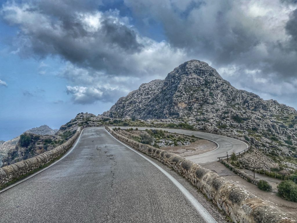
Now he placed himself in front of me calling out words of encouragement. We arrived at the roadworks, where he warned that the hairpin was extra steep. And he was right – I had to get out of the saddle and put in an incredibly hard push to get round, as there was too much traffic oncoming to use the easier outside line.
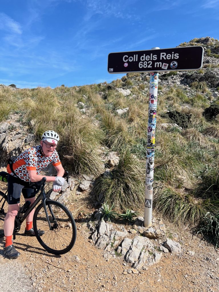
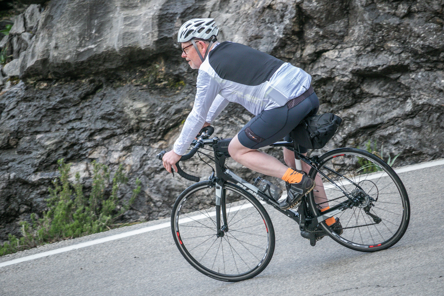
I thought that effort might finish me off, but I managed to keep going up to the loop in the road and onto the final straight. As we got within 100 yards, Oliver called out “Sprint!”, but I was just too spent. Then with 100 feet to go, I went for it and completed the climb, stopping at the second Coll dels Reis sign and taking a long old breather. I had managed to beat the hour with a time of 58:25. This year’s climb of Sa Calobra was much less fun than last year’s but breaking the hour barrier made it well worth it!
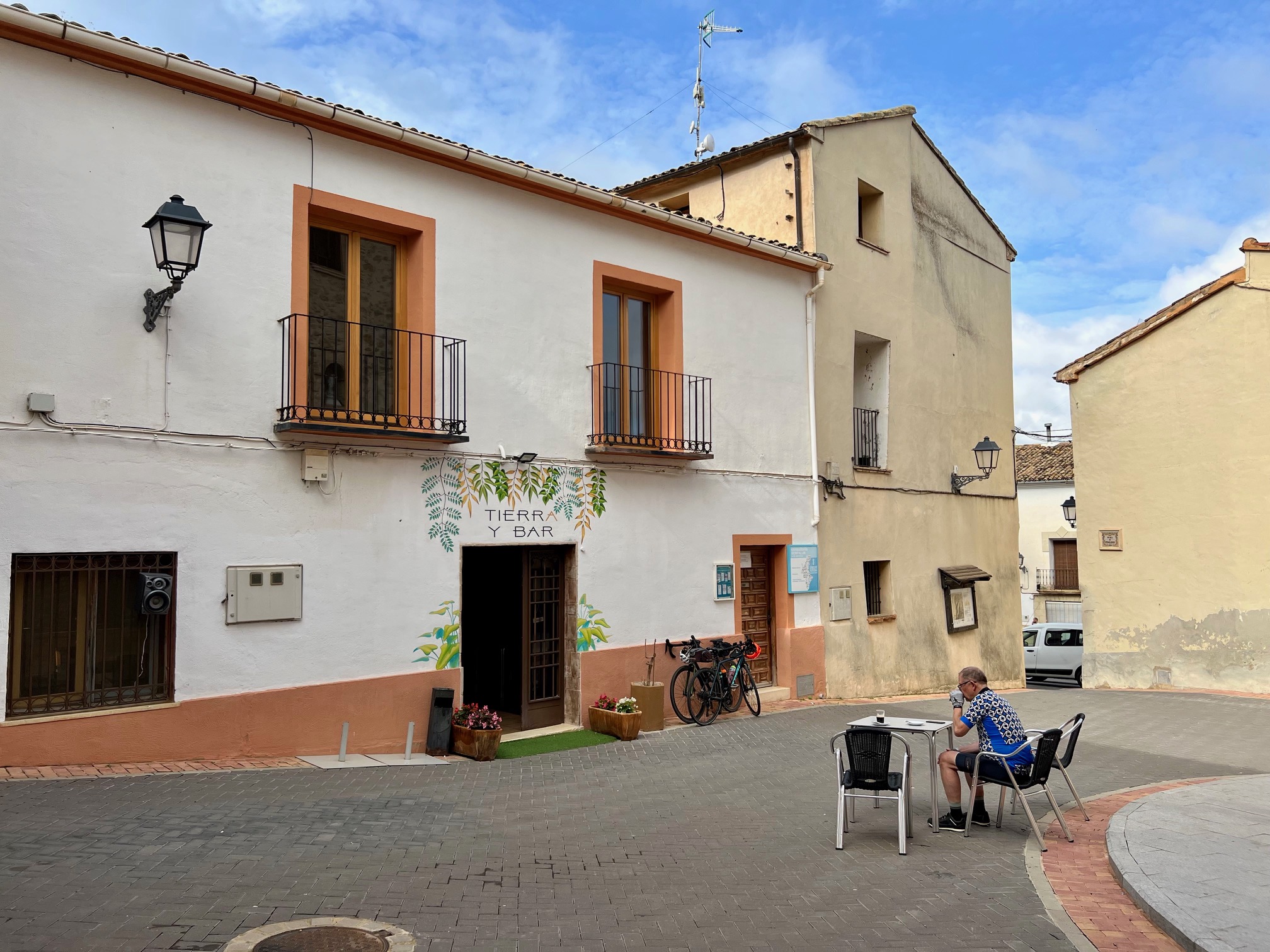
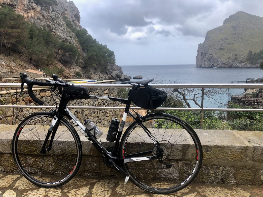
We descended to the juice shack for a coffee, then carried on back to the petrol station. We decided not to have lunch at the now very busy cafe there, instead opting to descend down to Caimari. This was the first time I’d gone down this road, rather than up it, and it has to be said that the descent was very enjoyable.
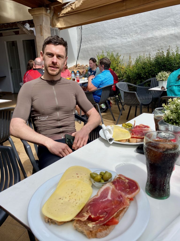
We parked our bikes outside a cafe in the middle of Caimari just as a large group was leaving, then found a table in the courtyard out back. Oliver asked for a menu, but the guy said no, we could either have pa amb olis or one other thing that I can’t remember (or more likely couldn’t understand). So we had ham and cheese pa amb olis (a local delicacy consisting of an open sandwich drizzled with olive oil) and reflected on our achievements.
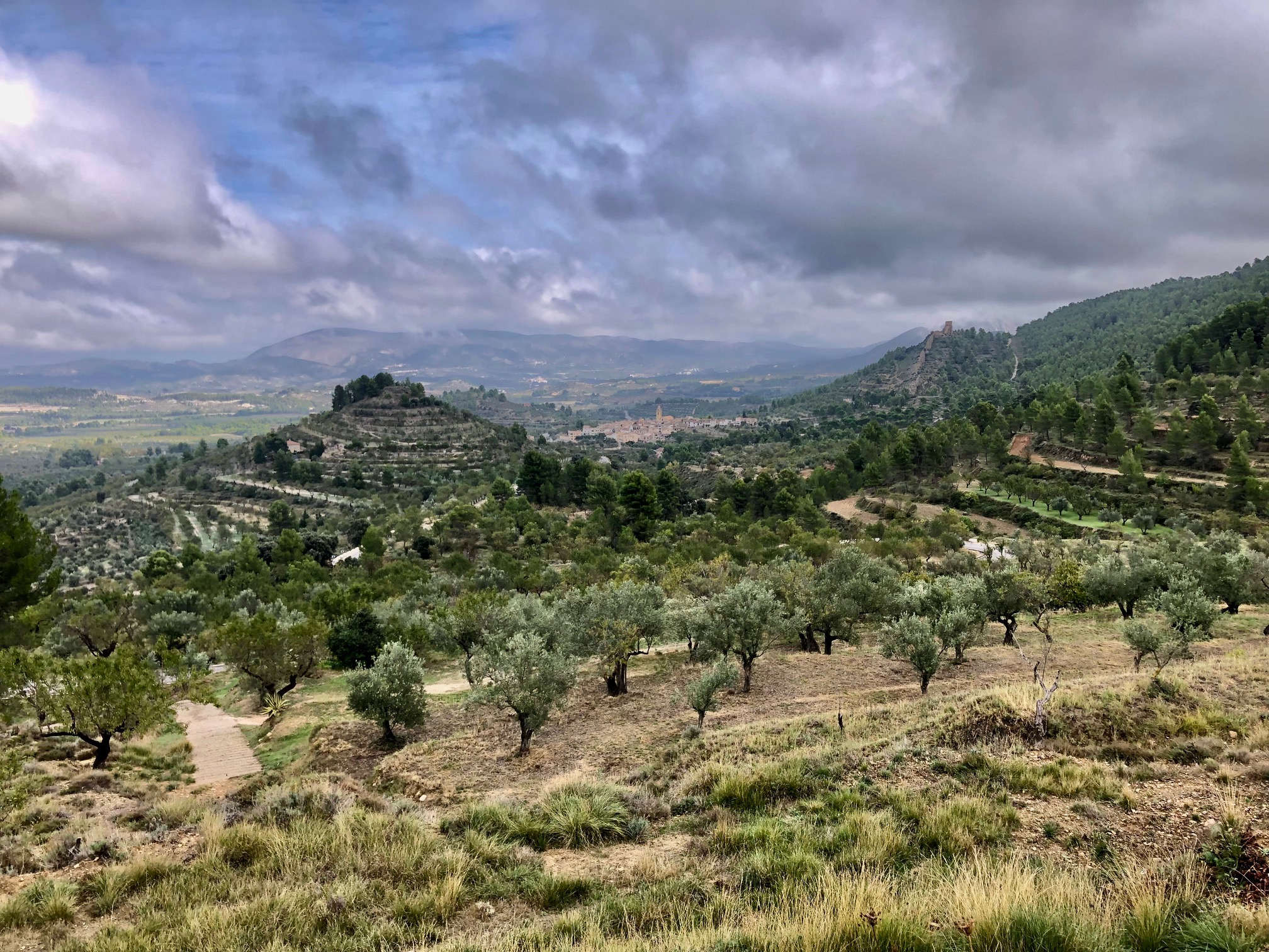
From Caimaria, we took back roads to Campanet, where I spied a couple of red kites and tried to tell Oliver, but he had drifted too far ahead to hear. At the little supermarket, we stocked up on water, then headed down to the Campanet valley. I told Oliver to go ahead and have a blast, and wait for me at the junction with the main road.
Next, we turned left for a while, then right onto the lanes leading back to Puerto Pollensa. Oliver was keen to get some extra miles in, so he went off by himself in the direction of Alcudia, while I carried on with the maze of lanes, managing to lose my way till I got onto the coast road, which led me back to the hotel.
By the time I’d showered and opened a can of beer, Oliver appeared after taking a detour halfway along the Cap Formentor road and back, adding an extra 14 miles and 2000ft of climbing compared to my total for the day! After that day’s effort, we both had free rein to stuff our faces with the Puerto Azul hotel’s excellent buffet dinner.