I made a resolution at New Year to try and get out for more adventurous cycles this year, like we did when we started out cycling; mixing road with bits of off-road cycling and exploring places we’d never been before. I had vaguely planned out a route that would take in Watch Water reservoir, where I’d been before, and explore deeper into the Lammermuirs on tracks that would be new to us, looping back via the Herring Road. All we needed was a spot of decent weather…
The forecast for the 14th looked great – full sun, barely any wind and temperatures safely above freezing. So we set off in the car and parked at the west end of Whiteadder reservoir. We unpacked Colette’s gravel bike – ideal for this route, and my old hybrid – again ideal, if a little on the heavy side.
We set off with the low winter sun barely risen above the horizon, but I could swear that I felt a faint warm glow from it. Fairly soon, we hit the steep slopes of the Hungry Snout climb, and I was certainly feeling a warm glow after that exertion. Then there was a super fast descent that sent us on our way towards the tiny hamlet of Cranstoun, where we stopped for a wee photo of the church.
I was then on the lookout for a right turn to take us to Longformacus. Somehow I’ve never cycled along that joining road before, so had to stop to check the map on my phone a couple of times to reassure myself that we hadn’t somehow missed it. I have the route on my Wahoo but remembered late on that I didn’t have a suitable mount on my hybrid, so I put on Colette’s retired old Garmin at the last minute, hoping that the battery would last and I would just ride with the route in my memory rather than on the handlebars.
Colette reached the turnoff first, and it was pretty much unmissable as it turned out, where we started up quite a steep climb past an orchestra of chainsaws and a very large bonfire. There was a scene of devastation in the woods that we cycled past, where I’d estimate that around 50% of the trees were down. Alongside the road, their now vertical roots were lifting the wire fence to our left high into the air, and the fence posts were dangling like washing on a line. To the right were piles of chopped up logs and telephone poles left over from the work to clear the road. The recovery work is clearly going to take a long time, but at least the locals won’t need to worry about buying firewood for years to come.
After topping out near Whitchester House, there was some nice descent on our way to Longformacus. We were in and out of the village in no time, taking a left turn on the road to Watch Water reservoir. The bumpy, potholed road ran through a wooded valley to start with, where the trees seemed to have fared a lot better that the more exposed woods we passed earlier.
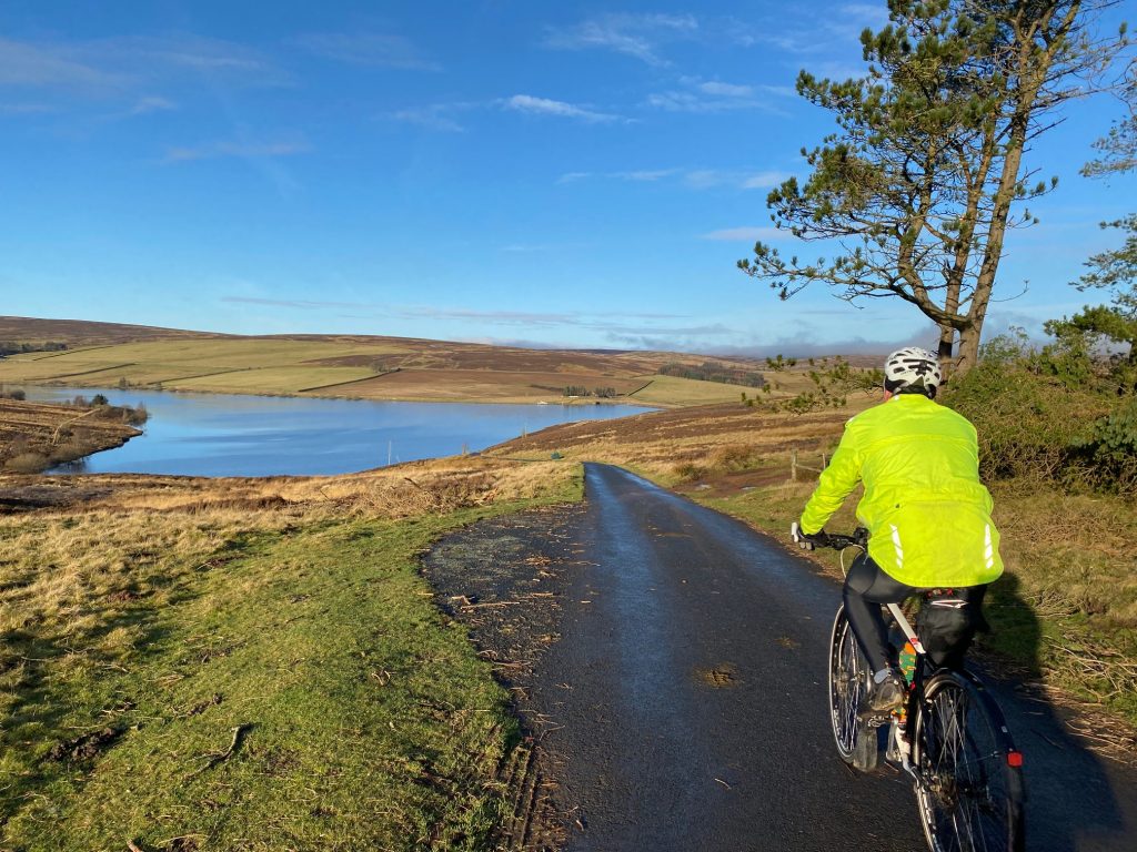
Watch Water reservoir comes into view
We then entered more open countryside, and after passing through a farm, it felt like we were out on the moors proper. The road curved to the right, round the contours of a small hill, after which Watch Water reservoir came into view. A quick descent took us to the dam, where there was a curious sign warning of adders. That was the first time I’ve seen a snake warning sign, but being the middle of winter, I’m sure we had very little chance of coming across any adders.
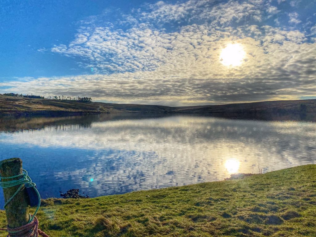
Low sun over Watch Water
At the far end of the dam was the anglers’ clubhouse. Colette noticed that outside, there was a picnic table, so we headed there to eat our sandwiches and crack open the flask of coffee. I was feeling some warmth from the sun, so I took off my outer layer. This was definitely not typical mid-January weather!
Moving on after our early lunch, we followed the road to a farm house, where the tarmac ended and we negotiated a short bumpy drop down to a splash though a small burn, then up onto a typical landrover track. At last we were properly off-road!
The track intercepted a more major one at a T-junction, with a very steep climb to the left and a more gradual one to the right. Colette was relieved to hear we were going right. The surface was very hard-packed fine gravel. It was so smooth and hard, it looked like a tarmac road. I wouldn’t think twice about riding a road bike on skinny tyres along this one, as it was better than many of the main roads we cycle along.
Over the top, I was happy to let go of the brakes for a 30+mph descent. Soon, we reached a bridge which connected us with a tarmac road leading into the heart of the Lammermuirs alongside Dye Water. I was surprised to see quite a number of houses and farms as we cycled up the valley, in what I previously thought was an utter wilderness.
The tarmac ran out after a while, but the track continued as another well-surfaced gravel road beyond that, although it was out of bounds to cars. We carried on, gradually gaining altitude as we progressed deeper into the moors. The tops of the flattened hills were shrouded in mist / low cloud, from which we could begin to make out the looming giant forms of wind turbines. They were moving almost imperceptibly in the light breeze.
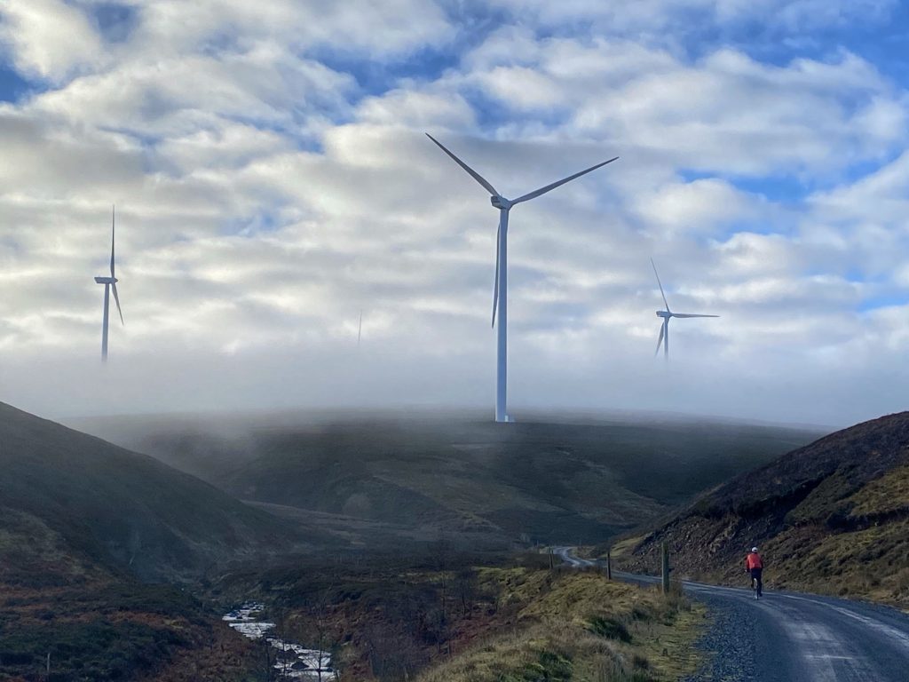
Finally, the track left the side of Dye Water and went right, up a slope to a clearing where many roads met. Here, we also found the second species of giant, in the shape of lofty electricity pylons. The plan was to take what I believe is known as the SSEB road from here, which tracks the line of pylons over the moor.
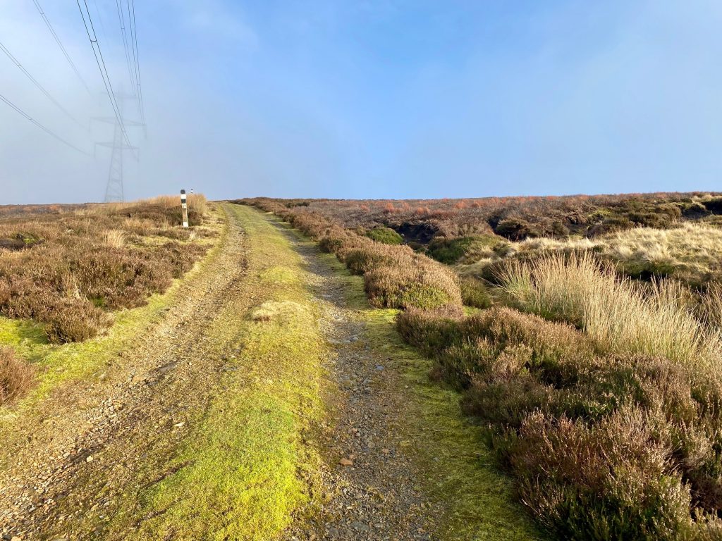
The SSEB road – excellent landrover track
For the first time, the surface was less than perfect. It was loose rough gravel over some soft, spongy, muddy material. That made it harder to progress, but thankfully it didn’t last long, as it went off to the left and the SSEB road continued as a very decent landrover track.
There then followed a steep down and up, where we both had to push our bikes, and after that some glorious rapid descent with just enough jeopardy in the shape of occasional bumpy bits to give a wee adrenalin boost. If I’d been riding a mountain bike, it would have been too easy!
Finally, we joined the Gifford Road, turning right in the direction of Longformacus. We went along for about a mile when we came to a sign pointing left to a track known as the Herring Road. This is a historic path, leading from the coast at Dunbar, where (you’ve guessed it) herring were landed then transported by foot some not inconsiderable distance to the borders town of Lauder.
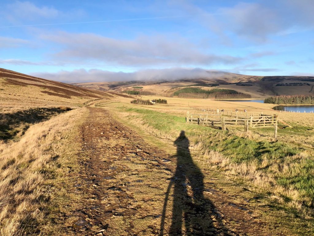
The Herring Road
The track is fairly well surfaced for the most part, but the sandy, slightly muddy surface made it quite heavy going. Fairly soon, we caught sight of Whiteadder Reservoir once more, at which point, Colette’s old Garmin that I was using to record the trip decided to call it a day. With only around a mile left, I wasn’t going to get too upset about that. So we continued to follow the Herring Road back to the car, and with the sun on my back and a final short climb, I was feeling positively warm. The car claimed it was 14 degrees when we got back in!
I was tired at the end of our wee adventure, and Colette claimed to be completely exhausted, but she had enjoyed it immensely. It was definitely a lot more fun that yet another jaunt round the same old roads we normally frequent, even though we don’t have as many miles to show for it on Strava afterwards. Time to get looking at the map for more of the same…
