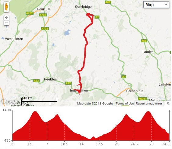
 The trip we did recently to Innerleithen was nice, but it was a “there and back” type of route, rather than a circular one. So this time we made it into a circuit, taking in Peebles as well.
We set off on a day that was forecast to be hot and sunny, but began with an overcast sky and some mist. We put rear lights on our bikes before setting off and made our way up the A7 then right towards Innerleithen. As the road climbed up into the Moorfoot hills, the mist turned to fog, and the visibility was getting really quite low. There was little point stopping at the viewpoint layby so we carried on to the highest point marker before stopping for a breather. This was also the point where the mist disappeared, giving us a great view over the hills bathed in glorious sunshine.
The descent was fun, then we were quickly into the next climb. Without any headwind, it was easier than the last time, though we did pause at the top for a rest and to chat to some cyclists arriving from the opposite direction who were on the final day of their trip from Newcastle to Edinburgh.
The run in to Innerleithen was quick and peaceful, with little traffic on the road. We made a beeline for Adams bakery again for more of the cakes that we had on the previous trip. The ladies who served us didn’t know what our new fave confections were called, only that they were very popular. With lunch loaded onto our bikes, we carried on along the main street then turned left in the direction of Traquair, following cycle route 82.
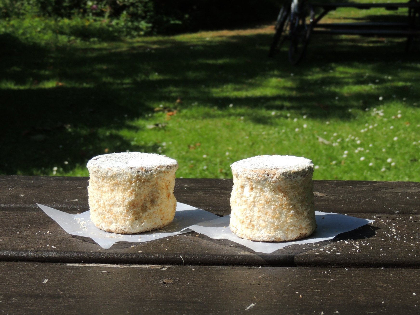
The amazing mystery cake from Adams Bakers in Innerleithen
Shortly after leaving Innerleithen, we went past the entrance of a set of mountain bike trails. Looks worth a visit in future, but we couldn’t afford too many detours on today’s route. The one detour we did allow ourselves was to visit Traquair House, as our route took us straight past the entrance. We stopped at a bench, where we ate our lunch and Colette took some photos of the house, which dates back to 1107. With other attractions like a proper hedge maze and its own brewery, this is one place that we will be revisiting when we have more time. However, we needed to get back on the road, and continued our trip in the direction of Peebles.
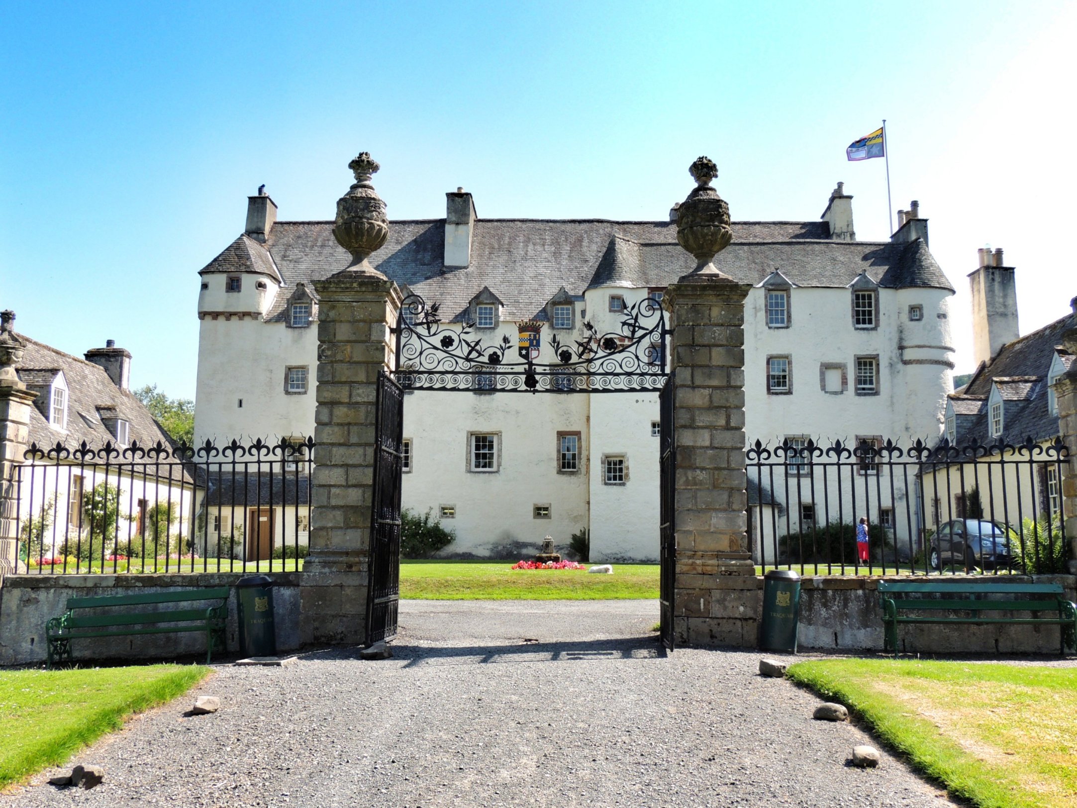
Traquair House
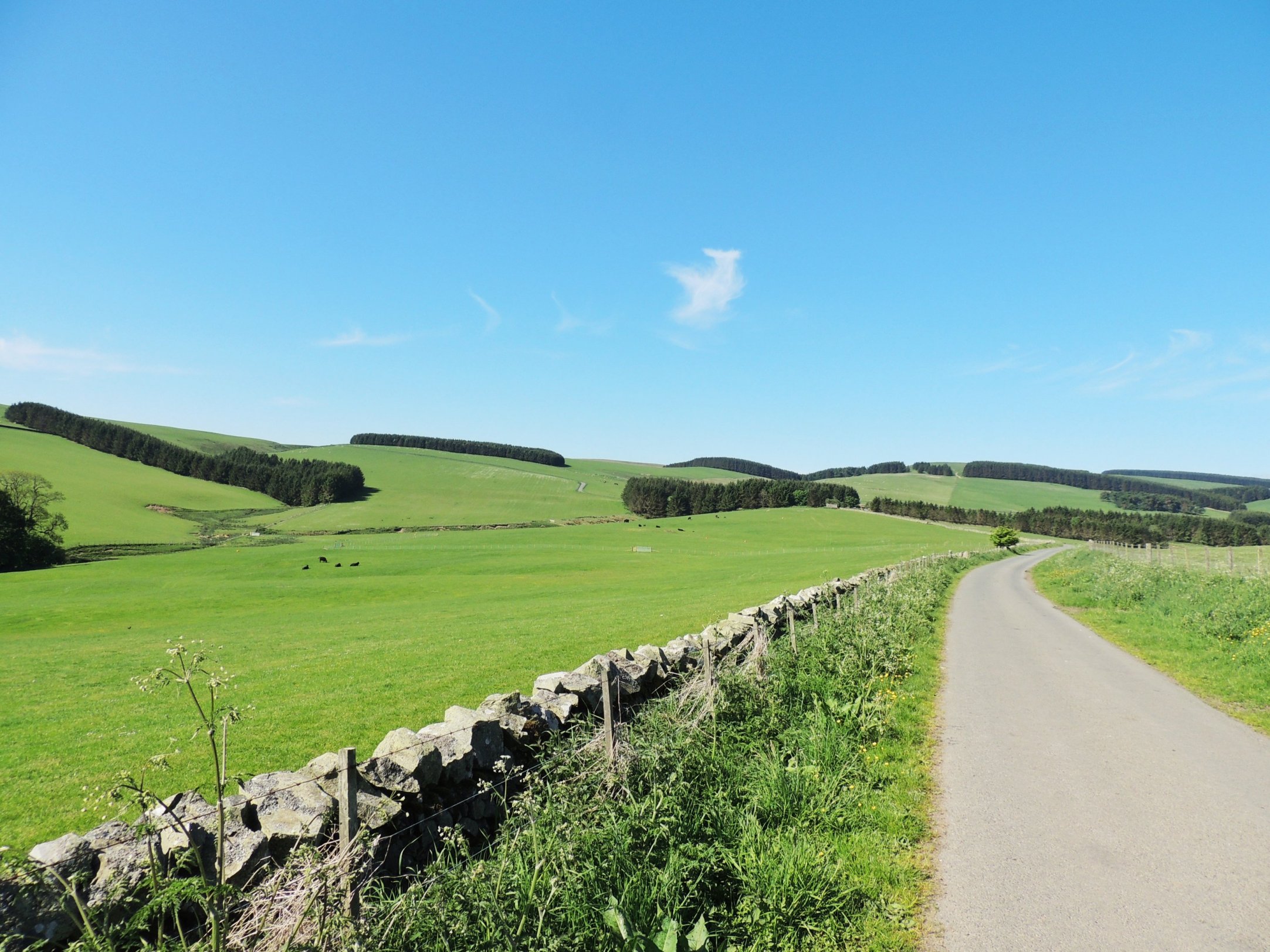
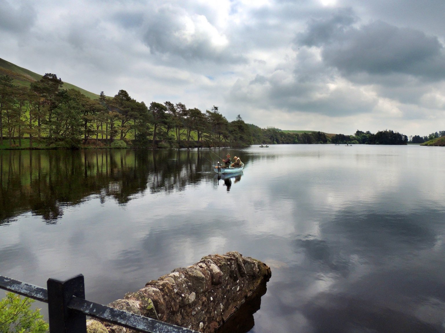
Our route took us through pleasant countryside, with the trees of Cardrona forest to our left and the River Tweed flowing past on our right. Arriving at Peebles, we stopped at the toilets just before the bridge, where we filled our water bottles from the tap. Then we went on into the centre of town, which was very busy, stopping for a long-awaited ice cream.
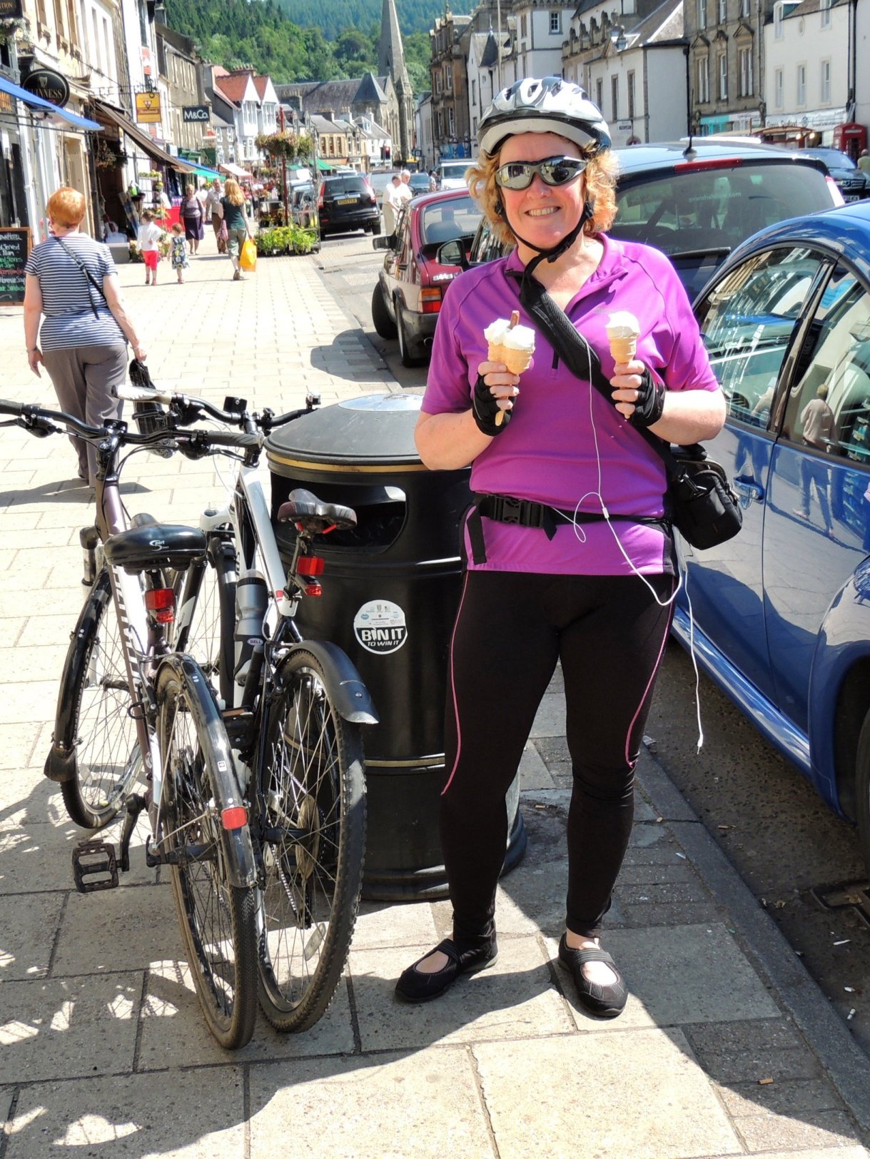
Ice cream in Peebles
The next part of the route I wasn’t looking forward to very much, as we headed north along the A703. After about half a mile or so, I commented to Colette that the road was actually much quieter than I’d expected. When it comes to tempting fate, that was a bit of a rookie mistake. Following that, the road narrowed, the road surface deteriorated, slowing us down, and traffic began building up behind us. It was also very hot, so our water supplies took a bit of a dent.
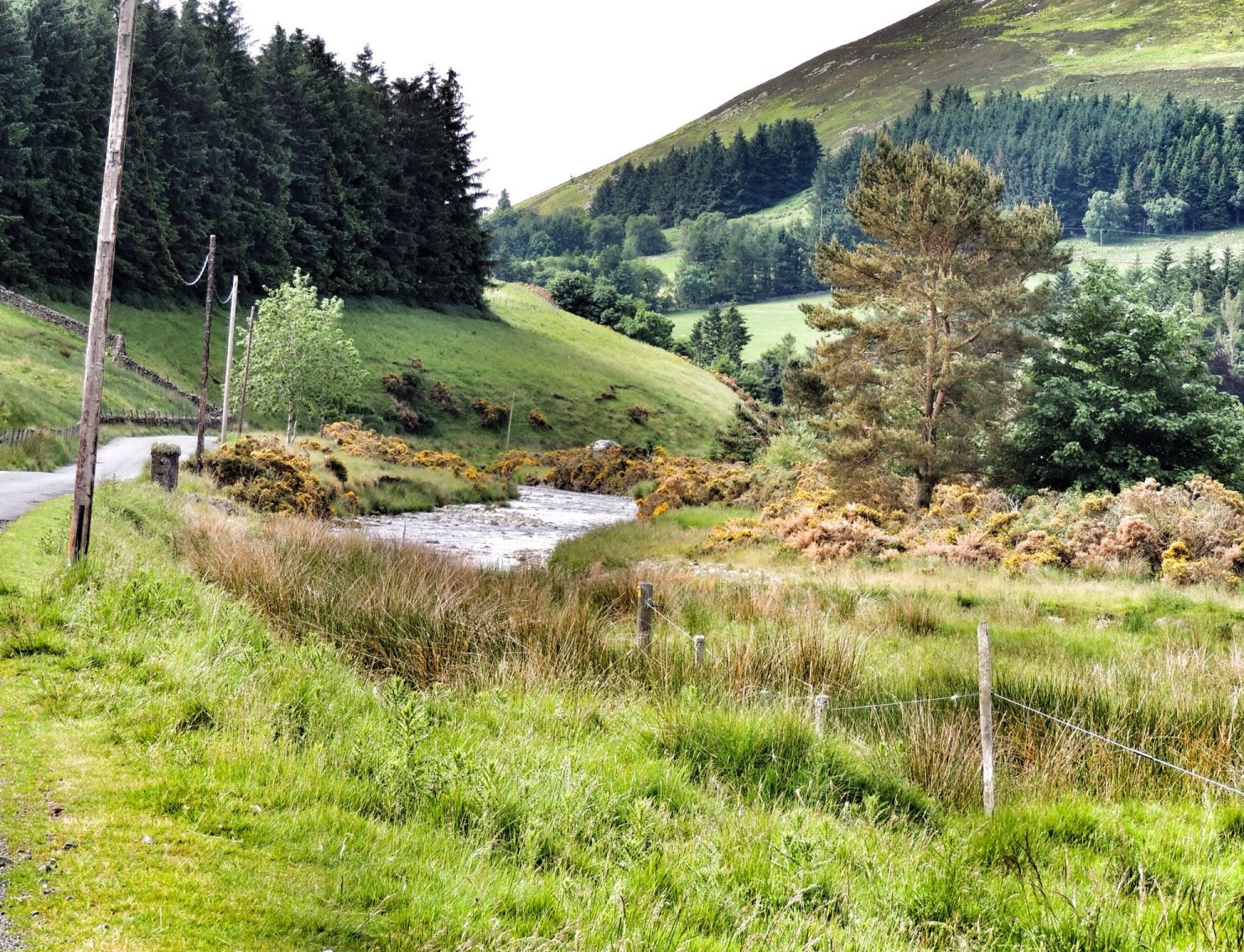
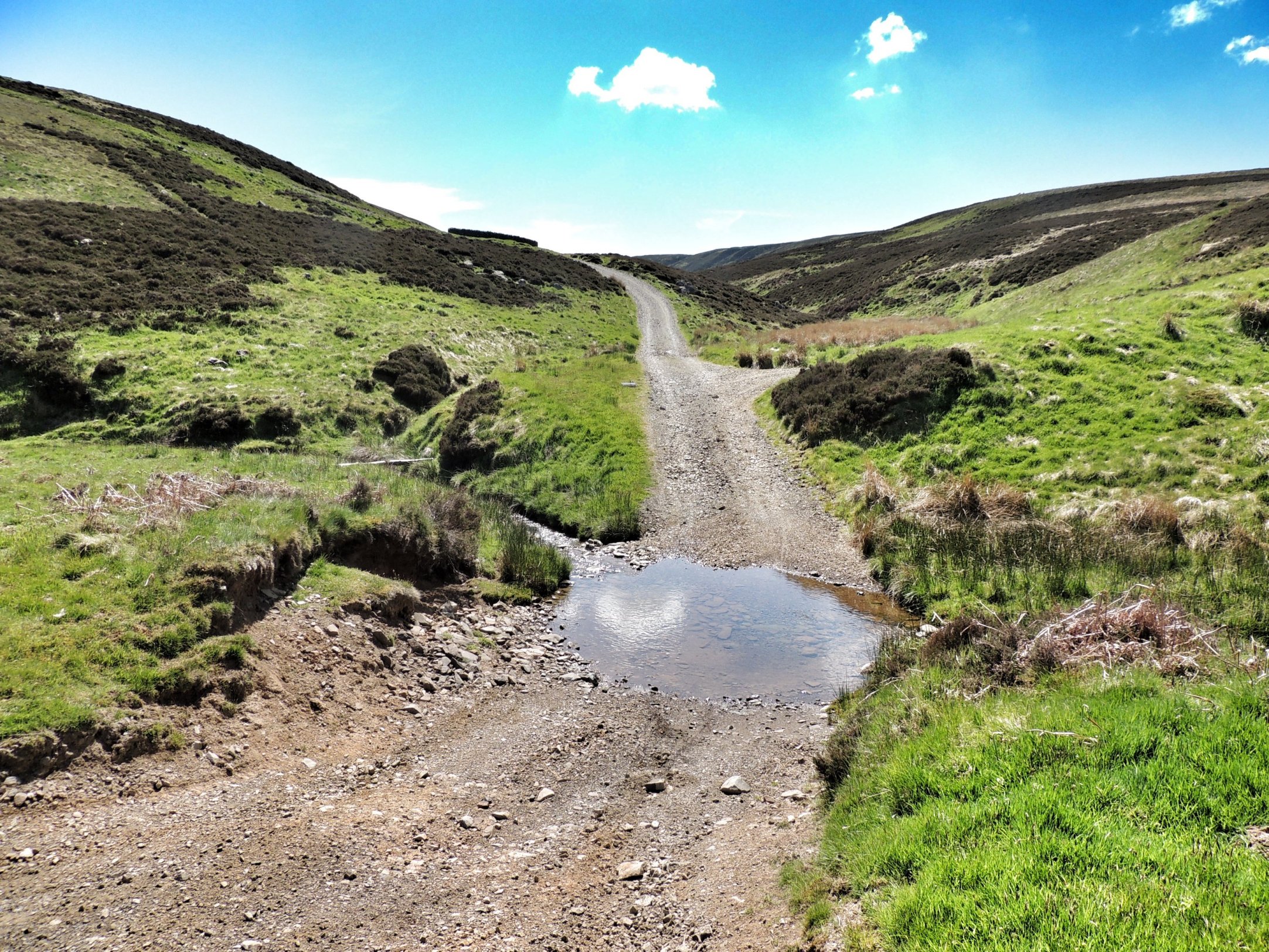
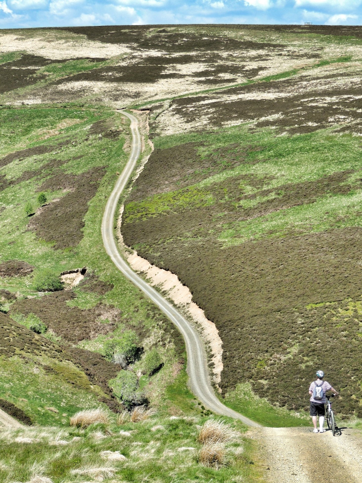
We were very glad to finally see the back of the A703, as we turned right onto a minor road signposted for Temple and Gorebridge. This took us steeply uphill over a recently resurfaced and gravelled road. The climb looked a bit daunting on the map, but was quite achievable in low gear, though I was gasping for more water at the top. From there, it was a fairly easy run past the entrance to Portmore Loch, round Gladhouse Reservoir and home.
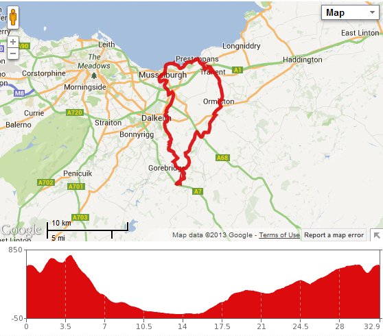
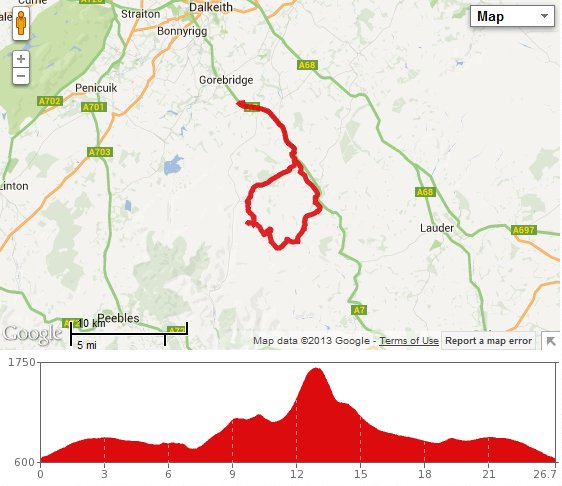
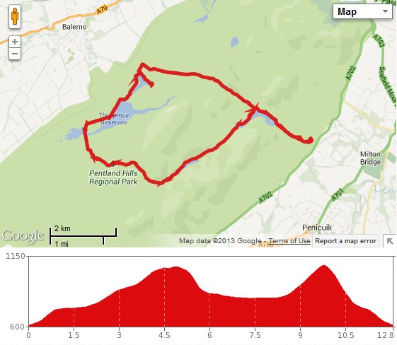
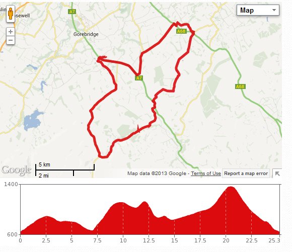
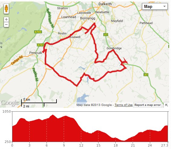
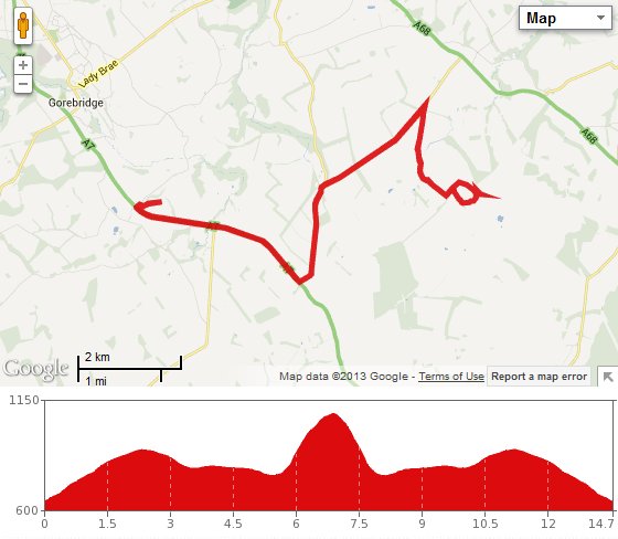
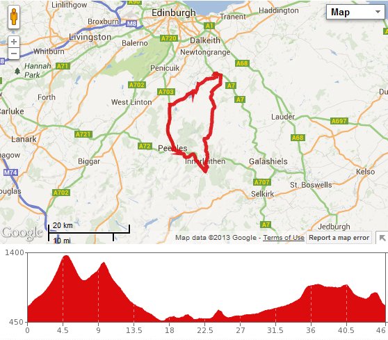
That round trip was 46 miles long (another record) and we did it in just under 5 hours, which was pretty good going considering that included all our stops. Mind you, we felt wiped out the next day!