
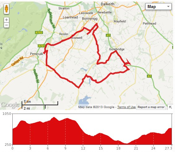
Before getting into the details of this trip, I need to point out that the map above contains a wrong turning, more of which later, so please don’t set out to recreate it exactly!
OK, so I thought it might be a good idea to head to Penicuik, then go back up to Rosewell via the cycle path that uses the route of an old railway line, then head back home. To realise this plan, we first headed out of North Middleton towards the limeworks, then up past them, till turning right onto the path of national cycle route 1. We headed along this familiar and very quiet road until taking the left turn just past Esperston. This road initially goes alongside the local quarry’s unusual conveyer belt; it was in operation today, although we couldn’t see anything being transported. At the end of the road, we headed right up the steep little hill to Yorkston, then turned left to go past Rosebery reservoir.
The morning had started out cool, but was rapidly warming, and with the sun coming out I was glad that I opted to wear shorts and a T-shirt. After the reservoir, we climbed back uphill until reaching the B6372, where we turned left. A couple of nice downhills were followed by steep uphills, but then the road levelled a bit, taking us as far as a sharp right turn. To go straight on would take us in the direction of Gladhouse reservoir, but turning right put us on track for Penicuik. So we continued along the road until it crossed the A6094, which heads south to Biggar. However, we went straight across, heading roughly NW towards Penicuik.
This road was nice and flat, and like all nice and flat roads in Midlothian, it didn’t last long, quickly ending in a T-junction with the B7026. We decided to turn right here, heading in the direction of Auchendinny. This was a good downhill stretch, spolied only by the heavy traffic running in both directions. After a minute or two, we took the first left (Harper’s Brae), which heads back in the direction of Penicuik. However, before reaching Penicuik, it leads to an access point to the Penicuik to Dalkeith cycle path. We stopped here for a while for some water and chocolate. The latter had been heated to body temperature in Colette’s back pack and so wasn’t quite the treat we had been expecting!
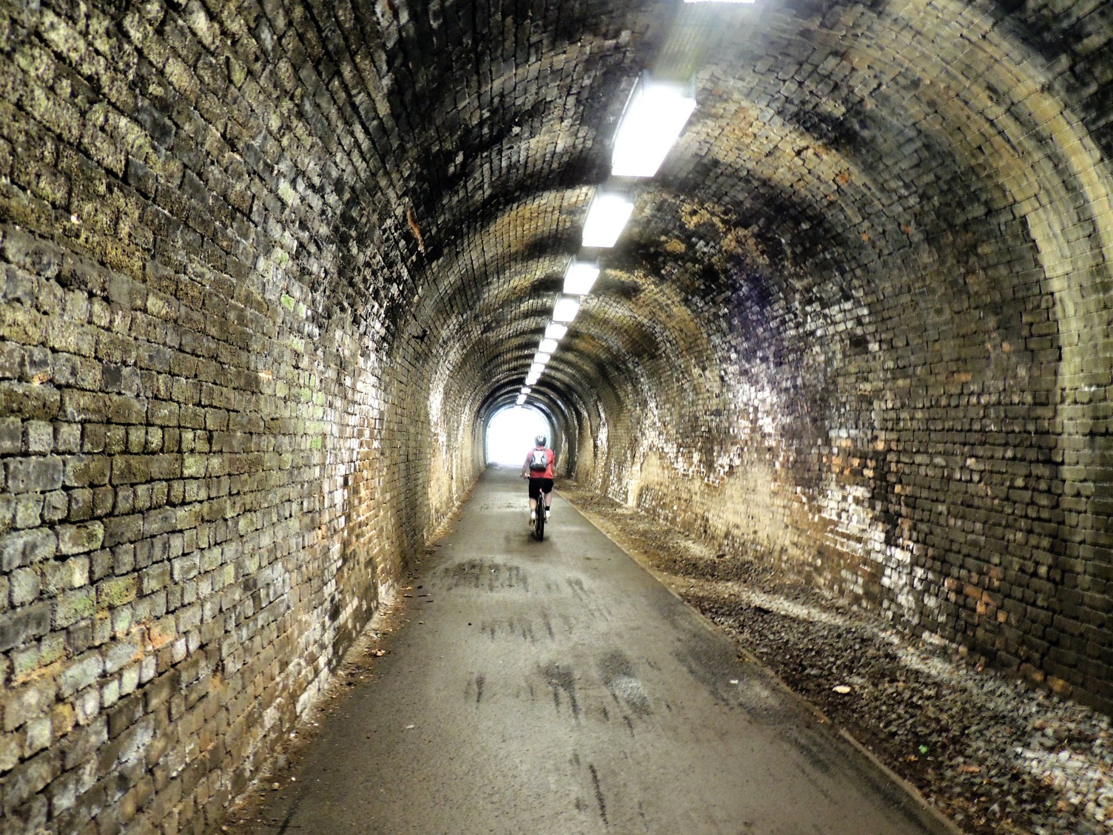
The tunnel was well lit
We made really good time heading along the cycle path. If you lived in Bonnyrigg and worked in Penicuik, you might well be quicker going by bike than car! The path cuts through some varied and interesting countryside and takes you through tunnels, across a quite high viaduct and through an old station before coming to a temporary end at the top of Roslin Glen, close to Rosewell. It was our original intention to head back home via Rosewell, but we decided to follow the cycle route on as far as Bonnyrigg, as we hadn’t cycled along that part before. This part of the path is flat, properly paved and really fast. In no time we reached a crossroads of sorts just outside Bonnyrigg, with a path to the right signposted for Upper Dalhousie. We opted to take this route, as it should be a significant shortcut, compared to going through Bonnyrigg.
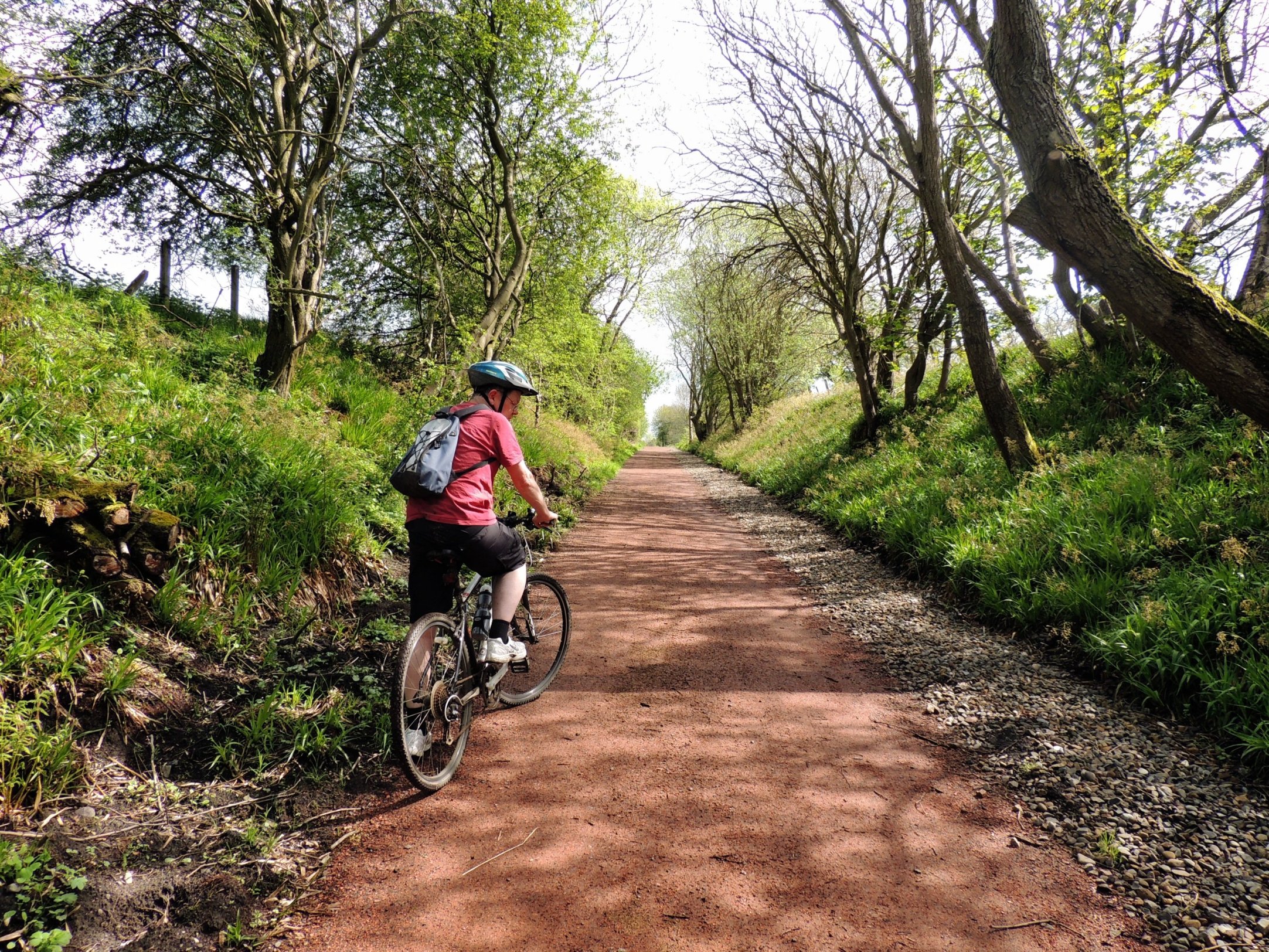
The cycle path slopes gently upwards
The path to Upper Dalhousie looks like a tractor track, but it was surprisingly good, considering the amount of rain that fell the day before. The track went as far as the new Bonnyrigg bypass road and continued on the other side, although a good bit more overgrown.
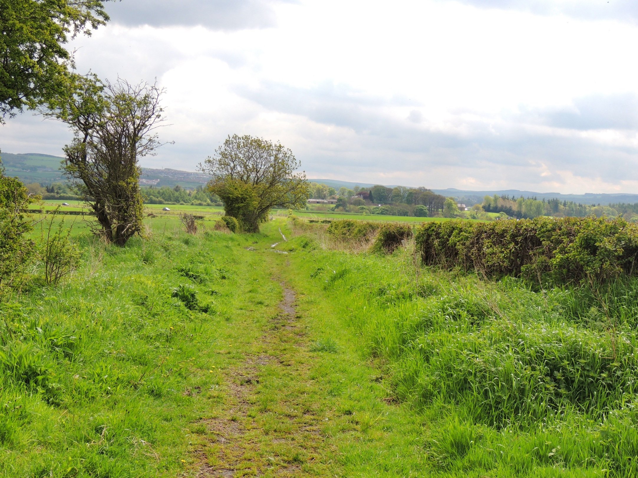
Short cut to Upper Dalhousie…
This took us to a muddy road, used by lorries to access a nearby quarry. There was a signpost that pointed right, along this road. Pretty soon, there was the option of a left turn towards a farm, but here was another signpost, which indicated that we should continue along the lorry track. So that is exactly what we did. The road however just got muddier and muddier, ending at a corner in a kind of thick, gelatinous mud. Around the corner, we could see lorries getting loaded up and a sign saying No Unauthorised Entry. So we gave up on the shortcut idea and headed back to the nearest main road as soon as possible. We and our bikes were by this time covered in mud and we were feeling like it was time to call it a day.
We turned right at the roundabout just outside Bonnyrigg, heading down Cockpen Road and then taking the first right, headed towards Carrington. After a few minutes of tiring uphill cycling, we passed Upper Dalhousie and saw the signpost at the other end of the path we had unsuccessfully tried to follow earlier. (Looking it up on the map after getting home, it appears that we should have ignored the earlier signpost and headed towards the farm rather than along the lorry track. The joker who apparently moved this sign to point in the wrong direction can now have a good chuckle to himself)
By the time we reached Carrington, we had had enough. It was a bit of a slow slog back; heading first towards Temple, then turning left at the bridge, heading NE towards Gorebridge. Then it was right along the A7 for a mile or so to home, a shower and food. Our longest outing yet!