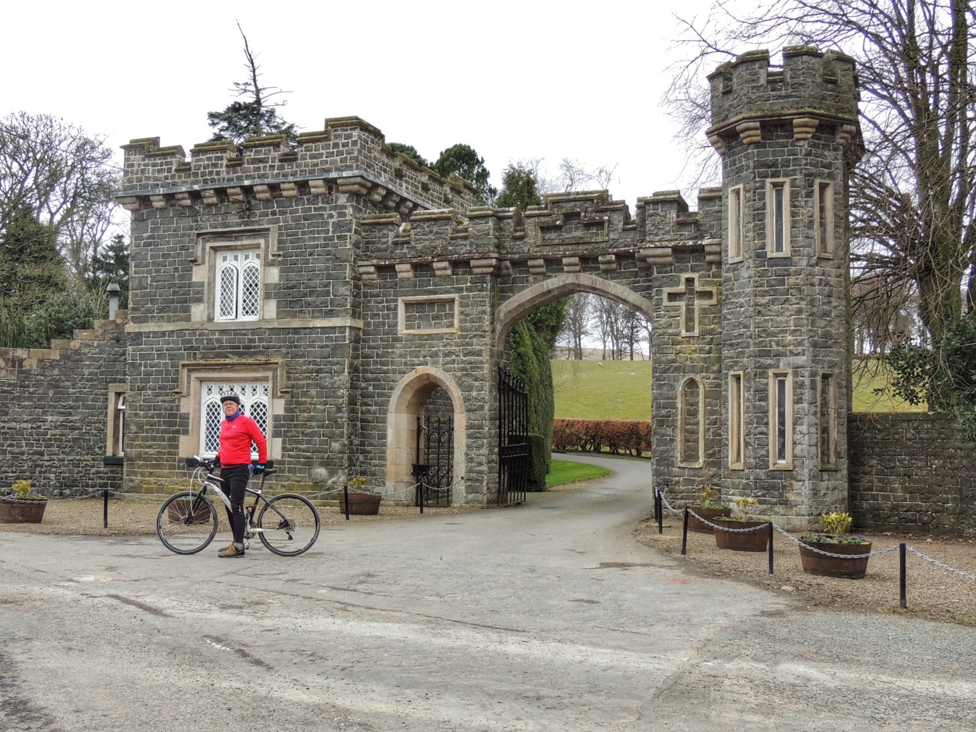
In early June, I plan to join some others in attempting to ride a full 100 miles in one day, for no other reason than to be able to say that we’ve done it. A bucket list kind of a thing. Afterwards I will return to the average 30-40 mile jaunts, but before doing the 100 miler I need to build up to it with one or two rides in the 70-80 mile range. That is what today’s 75 mile ride was all about.
The lead-up wasn’t ideal. I had been off the bike due to gout of all things, but was on the mend due to a course of colchicine from the doctor. I did a short ride the day before and all seemed well, so I was up bright and early for an 8.30am start. My breakfast was just a couple of slices of toast and jam, but I packed two cheese rolls, a banana, two cereal bars and a bar of fudge in my backpack, plus plenty of money to buy more food if necessary. Also two full bottles of water on the bike.
I set off up the A7 on a cool, sunny morning just as Colette was leaving in the car to spend a few days with her mum (she isn’t taking part in the 100 mile challenge due to her bad back at the moment). I was consciously trying to pace myself, selecting a nice easy gear on the uphills and freewheeling on the downhill. It wasn’t long before I got to Stow and took a big drink – got to stay hydrated.
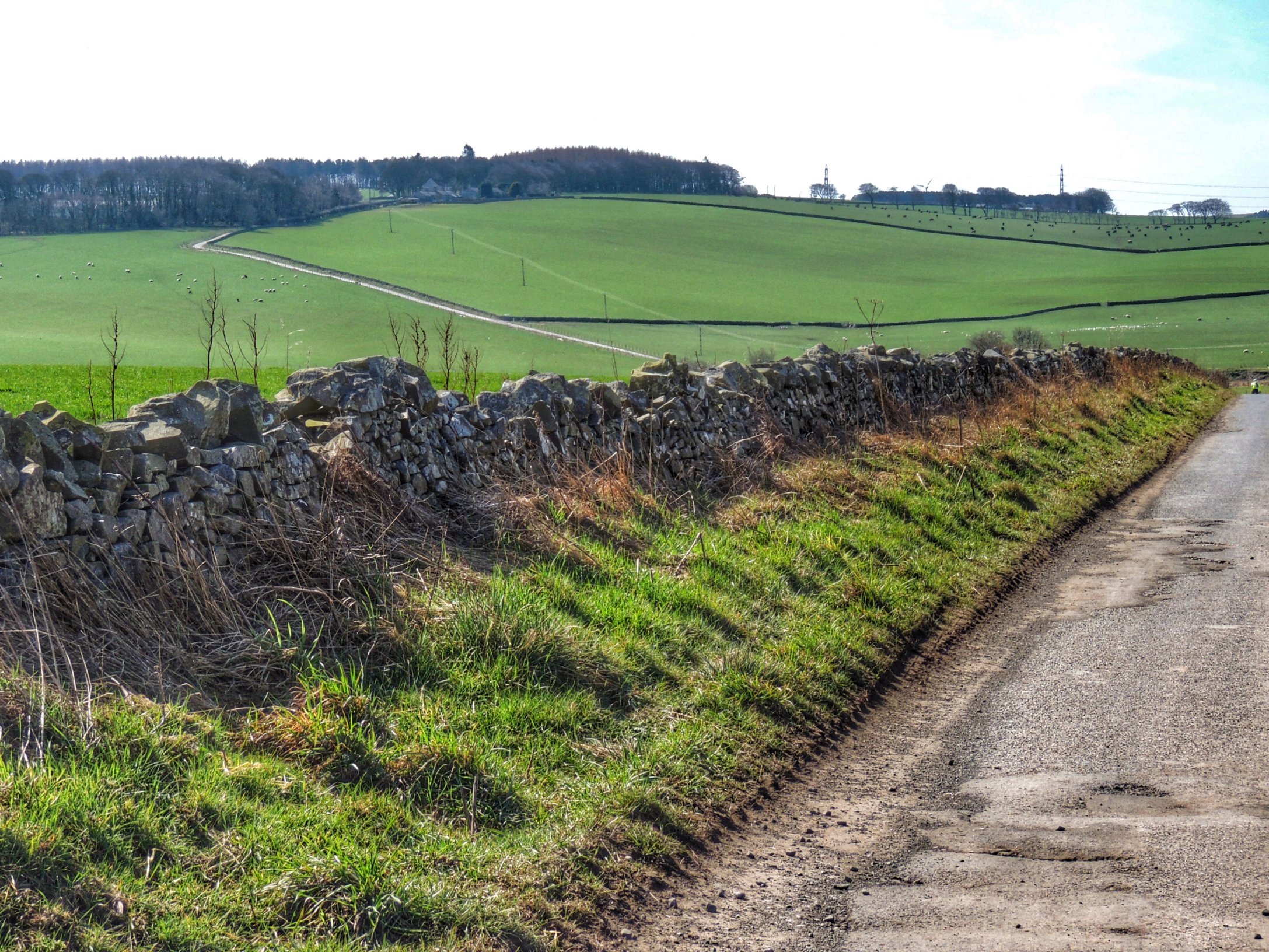
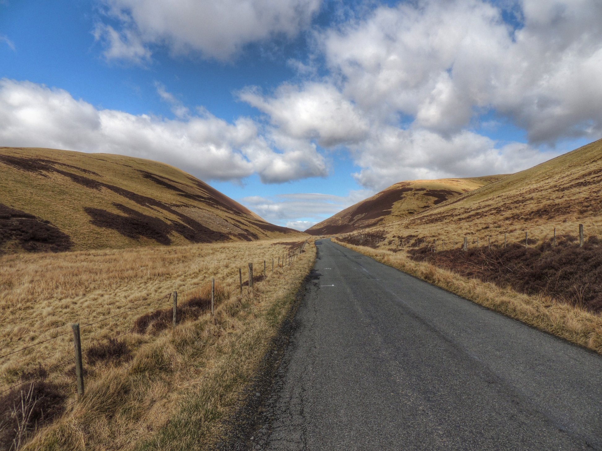
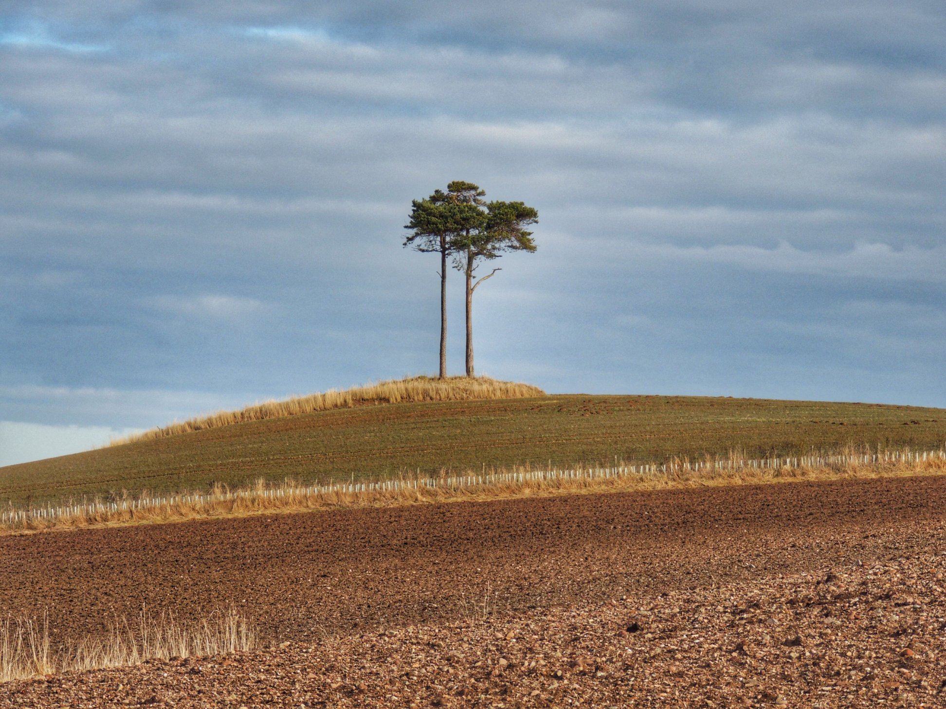
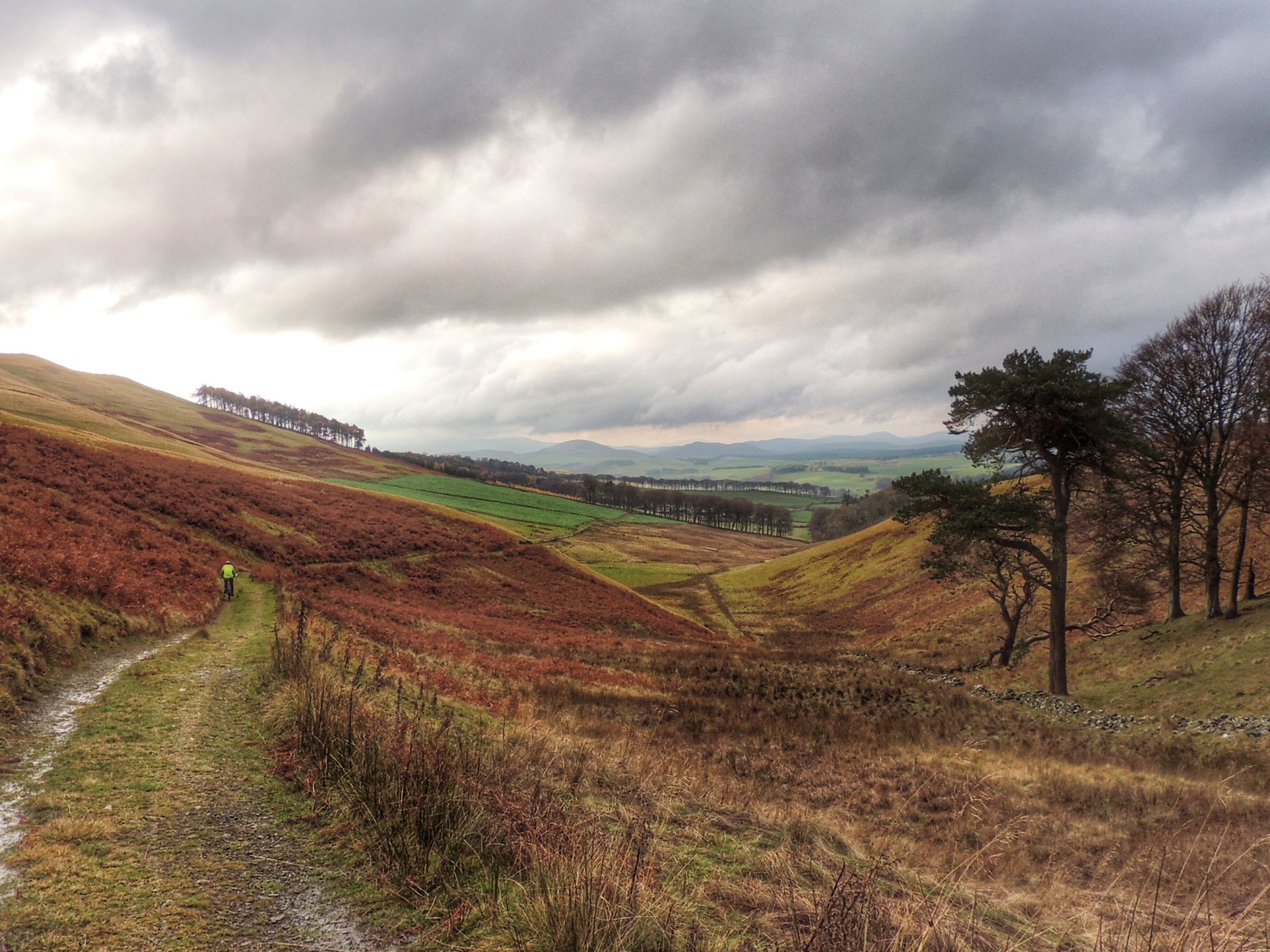
Between Stow and Lauder there is a whopper of a hill, with a 15% gradient for the first part. It felt quite hard but I just eased my way up in bottom gear till the view opened out. The final part of the climb was much easier and I stopped at the top to admire the view over the moor stretching out in all directions with lots of interesting paths to possibly explore sometime. I rewarded myself with some fudge then got myself ready for the high speed descent into Lauder.
After Lauder, I took a left turn onto a road that joined the A697 which heads towards Coldstream. Duns wasn’t signposted so I stopped at the junction to double check on the map – taking a wrong turn was unthinkable as doing 75 miles seemed hard enough without having to add on any unplanned detours.
The road was moderately busy, but it got a lot quieter after taking the turnoff for Duns on the B6456. The road through open countryside was pretty flat with very gentle undulations and I was feeling good. I made sure to have plenty of swigs from my water bottle and eat one of my cereal bars, and even though I was taking it easy, I seemed to whizz along, effortlessly eating up the miles. At the junction with the A6105, I turned left and freewheeled into Duns.
A glance at my Strava showed that I’d done an average of about 15mph so far which was much faster than expected and could only mean one thing: I’d been pushed along by a following wind. I tried not to think of what that would mean for the second half of the ride and went in search of a shop to buy a bottle of water.
Leaving Duns in the direction of Gifford was uphill: a theme for things to come. It wasn’t too hard although I did my best to resist attacking the smaller hills and stayed sat in the saddle, pushing a low gear. There were some downhill stretches too, which were spoiled somewhat by clouds of big black flies making high speed impacts with my face. I felt envious of the passing motorcyclist with his full face visor!
The Gifford road left the cultivated fields behind to wind its way through woods until it crossed the Whiteadder Water, where it entered open moorland and I felt the full force of the headwind for the first time. Well, it wasn’t exactly a gale, but it definitely slowed things down and made progress that much harder.
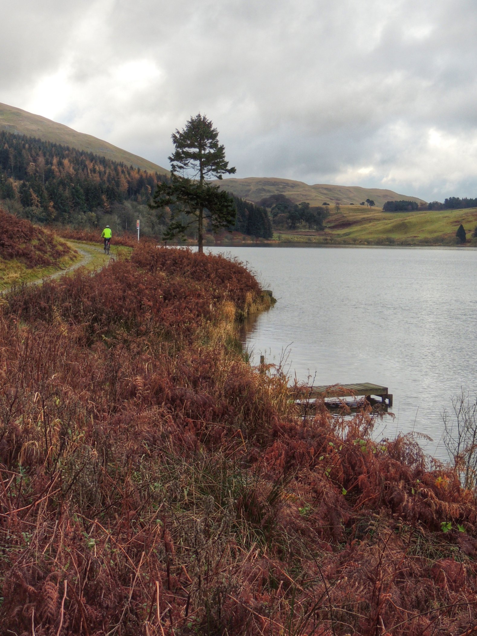
I pushed on and went through the village of Cranshaws, with it’s picturesque old kirk. It was getting to lunchtime and I’d not had my picnic yet. Whiteadder Reservoir was close and I planned to stop there, so I had some more fudge to keep me going and carried on.
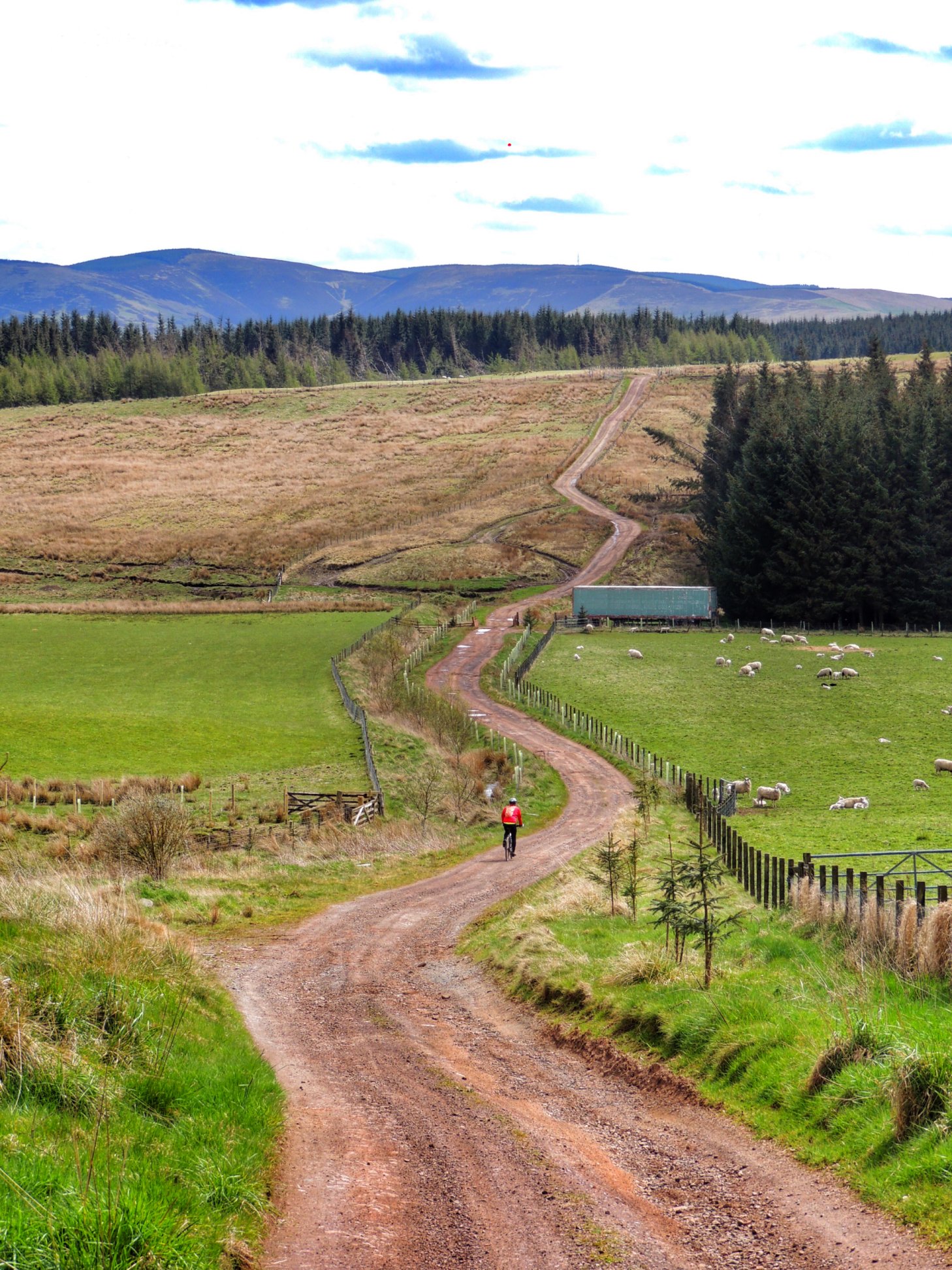
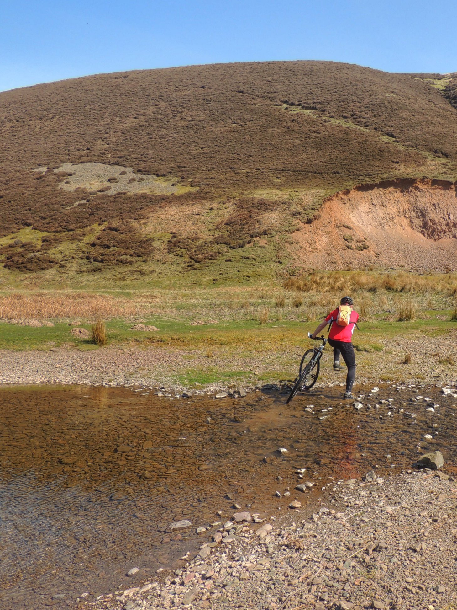
The sight of the hill on reaching the east end of Whiteadder Reservoir filled me with fear! I’m sure it is much steeper than the 14% stated on the sign. Or perhaps my legs were beginning to fail. In any case, I struggled to stay upright to the top and only just made it. A stop was definitely overdue, so I pulled into the car park at the sailing centre and unpacked my picnic.
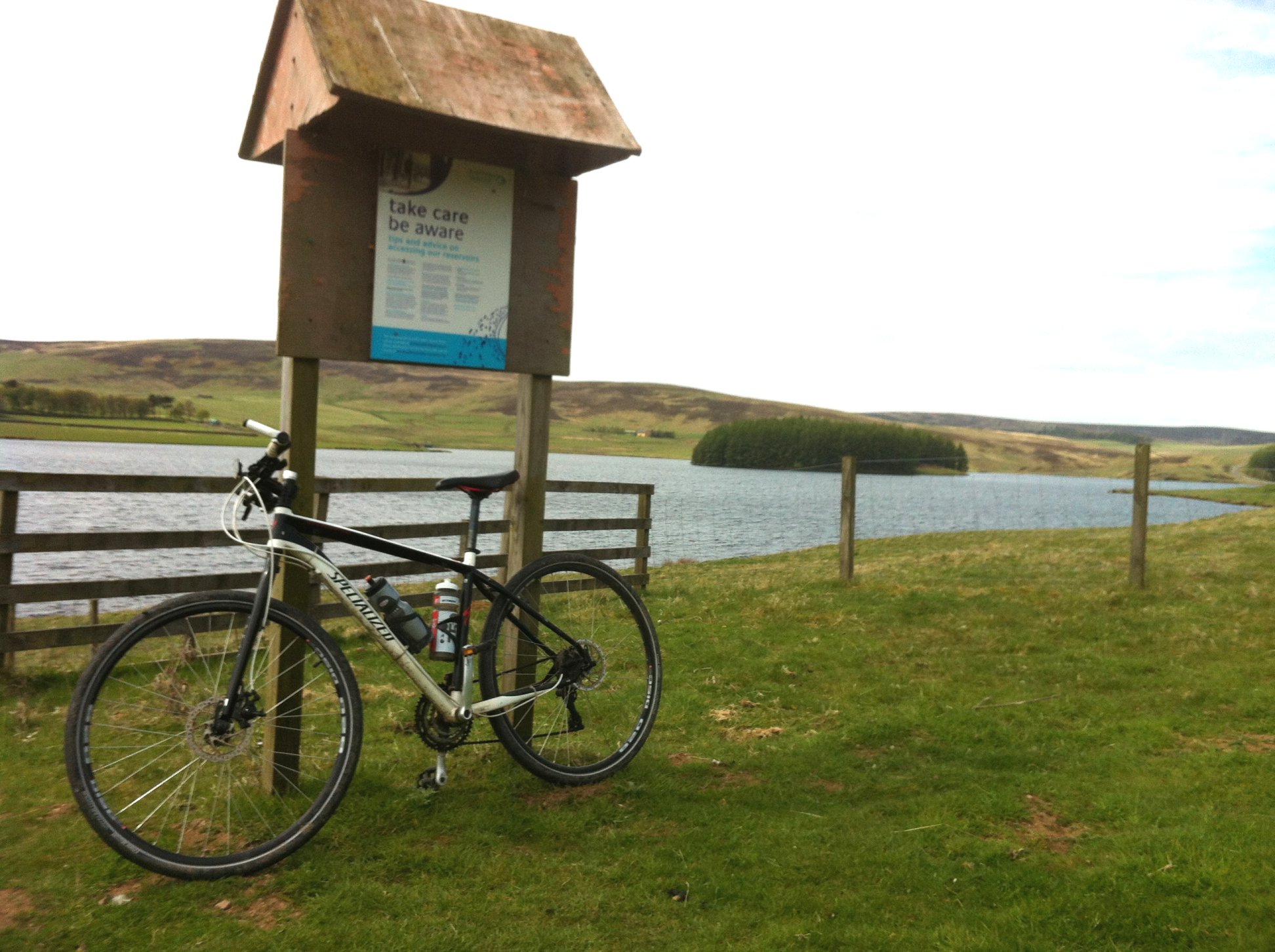
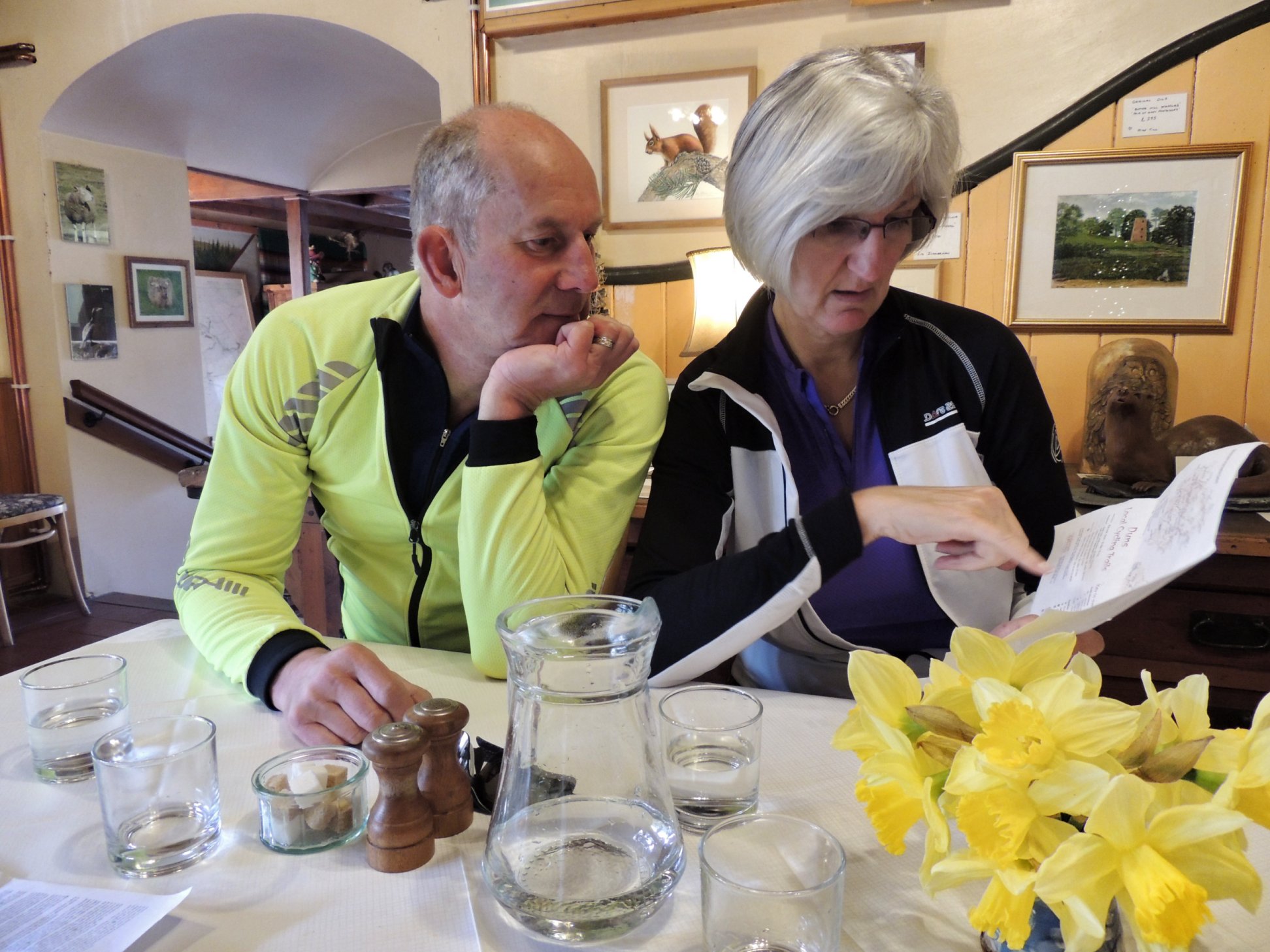
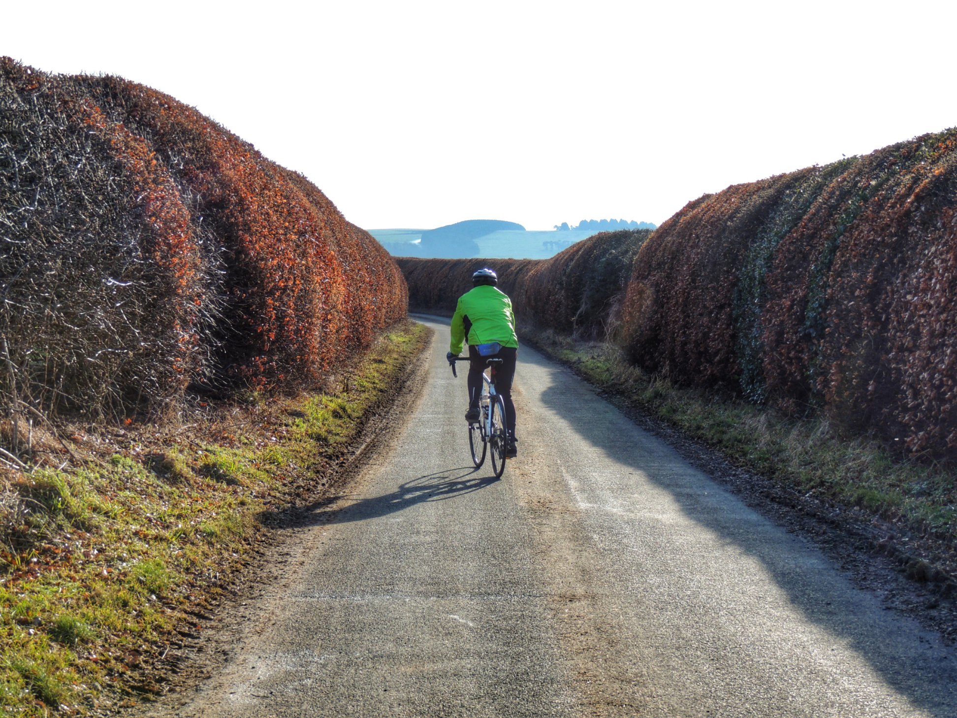
Taking a break at Whiteadder Reservoir
I ate one of my cheese rolls and a banana and forced down some water, and felt incredibly full. In retrospect, maybe I should have hung around for longer to let everything digest, but the sun had gone in and it was feeling a bit cooler, so I decided to get a move on.
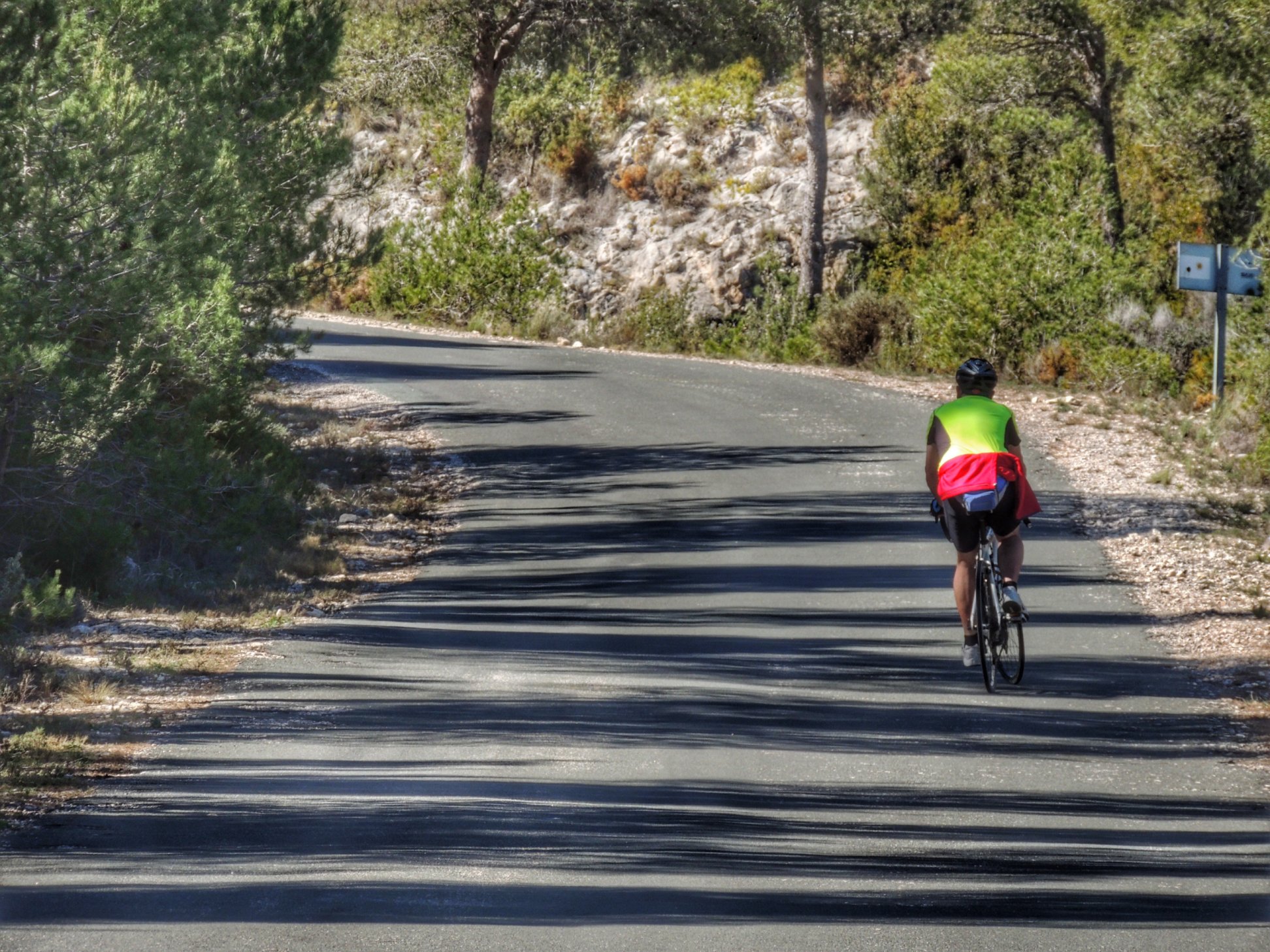
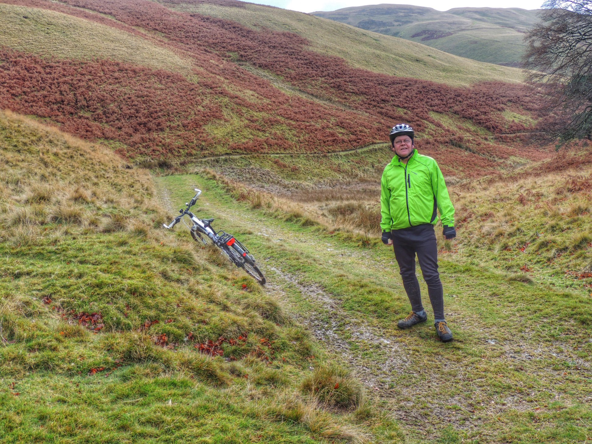
I found I could pedal fine along the few flat parts, but the uphills just seemed to get harder and harder. Unfortunately after leaving the reservoir behind there was a big long uphill ahead. The strength in my legs just deserted me and even in lowest gear, I was struggling to make progress up the 6% gradient. It felt as if I had somebody else’s legs and they were on strike. So I just had to stop and sit down on a grass bank next to the road.
There’s this fabled thing called “hitting the wall”, which some cyclists prefer to call “bonking”, where you use up all your energy supplies and simply can’t go on. It is supposed to be accompanied by dizziness and a clammy feeling, but I felt absolutely fine apart from my legs being on strike. I wasn’t sure exactly what was going on, but having a rest and eating more seemed to be the best option. So I ate my other cheese roll and the last of my fudge. I’d actually chosen a lovely place to stop, so waiting there wasn’t so bad. There were still 25 more miles to go, with some steep climbs so that was worrying, but with just a bit more strength I thought I should be able to manage it, albeit VERY slowly.
After my rest, I slowly cycled up to the top of the climb, then was able to rest my legs for a good long while as most of the remaining 5 miles to Gifford were downhill. There were two steep little uphill sections that I somehow managed to struggle my way up, and you don’t know how relieved I was once they were behind me!
Once at Gifford, I bought some emergency Mars bars from the shop then went to the tea room for a cuppa. I also ordered a slice of carrot cake for yet more energy. The rest must have done me good, but I left the tea room feeling uncomfortably stuffed.
The hills after that were marginally easier but I was still nowhere back to normal. It was a real slog covering the remaining miles and I wasn’t really enjoying it. Actually I was hating it! Added to that, the headwind seemed to get stronger and I started to feel chilled. I would have accepted a lift back home in a shot!
Approaching Borthwick, I had one last steep climb to negotiate and could only envisage myself doing it by pushing the bike up. I stopped next to the old school for a final drink of water and looked over to our house in the distance to take some encouragement before getting back on the bike. In fact, I didn’t find the final climb too hard, and a passing jogger even commented that I was doing well. Thanks for that, it gave me a boost, and I began to feel a little stronger again as I finished off the last mile to home. But strong enough to do another 25 miles, definitely not!
So that was a landmark ride for me, being my longest yet (75.9 miles), with the most feet of ascent (4643 ft) and longest time spent riding (6 hr 9 min) but the “failure” in the middle makes it one to forget. Still, there are lessons to be learned and I will be sure to stoke the boilers better before starting and definitely won’t insist on waiting till lunch time to eat my picnic! As for the 100 miler, I’m now more worried about it than ever, but at least the route will be flatter, with 1000 less feet of ascent than today’s run, and doing it with others means we can support each other through the hard bits. OK then, bring it on…