Last year I intended to ride the Gaick Pass on my way up north, but changed my mind at the last minute because of poor weather conditions. In preparation to try again, I had planned out a route using the Drumochter Pass to complete the loop of around 50 miles. With a spell of settled weather on the cards, we decided to give it a go.
We drove up in the morning with very little in the way of traffic holdups, due to it being school holiday season. The only problem was in getting the car to the layby at the start of the ride, involving a tiny turnoff to the right from the dual carriageway with fast traffic up my rear. Not ideal and not to be recommended!
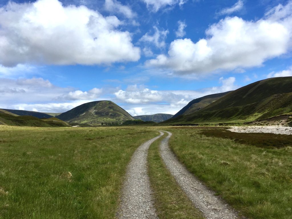
After that excitement, it was time to get the bikes off the back of the car, this being my first time back on a mountain bike since my accident at Nevis Range about 8 weeks earlier. We set off north up the landrover track that starts next to the layby, and is marked by a sign as the Gaick Pass path.
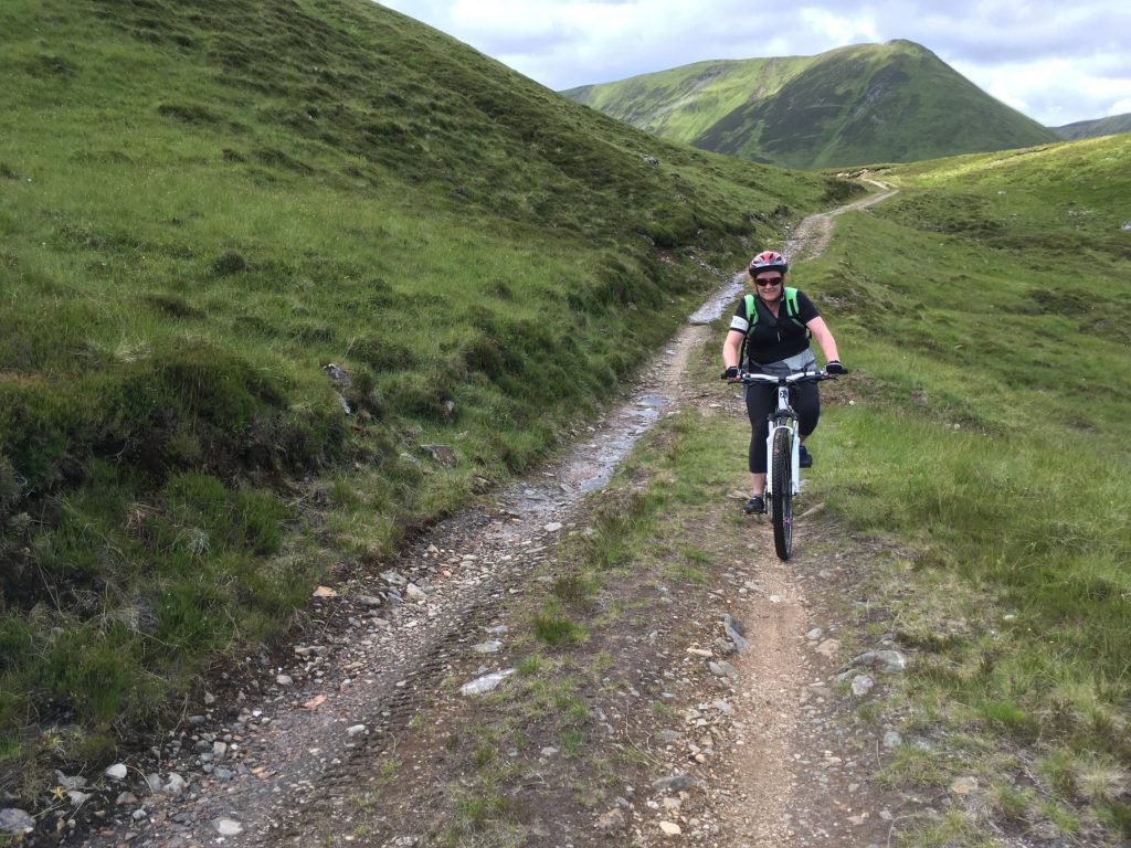
Since my crash, I have fitted a new front tyre with a lot more grip that the previous one, but it was a lot heavier too. That’s how I explained to myself the fact that Colette was so far ahead of me. It might also have been because was so excited to get going on this, our first off-road adventure for quite some time.
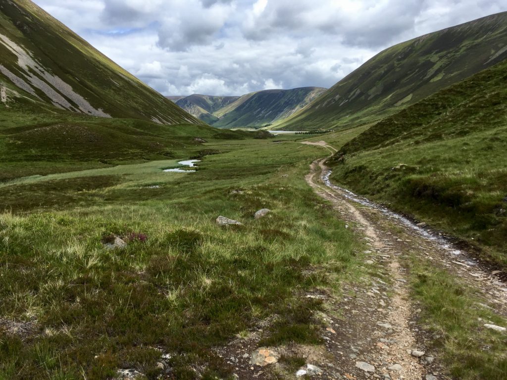
The track ran uphill through trees for a while before opening out onto a mountainous landscape, with our track ribboning its way through. We made our way along the east side of a small river valley, all the time heading towards the imposing shape of the steep-sided peak An Dun.
It was so quiet and peaceful on the track and felt a million miles away from the noisy A9 that we left behind. We did see one car – a Land Rover carrying some anglers, but that was it.
As we got nearer to An Dun, the track running alongside the river was re-routed in places due to erosion of the original road. After passing what looked like a recently abandoned farm, we came across the Land Rover we saw earlier parked at the “end of the road”. The route I was following showed tracks continuing along both banks of the river, but in reality ours had vanished. We did find a narrow track of sorts running up a steep bank and decided that was the best way forward.
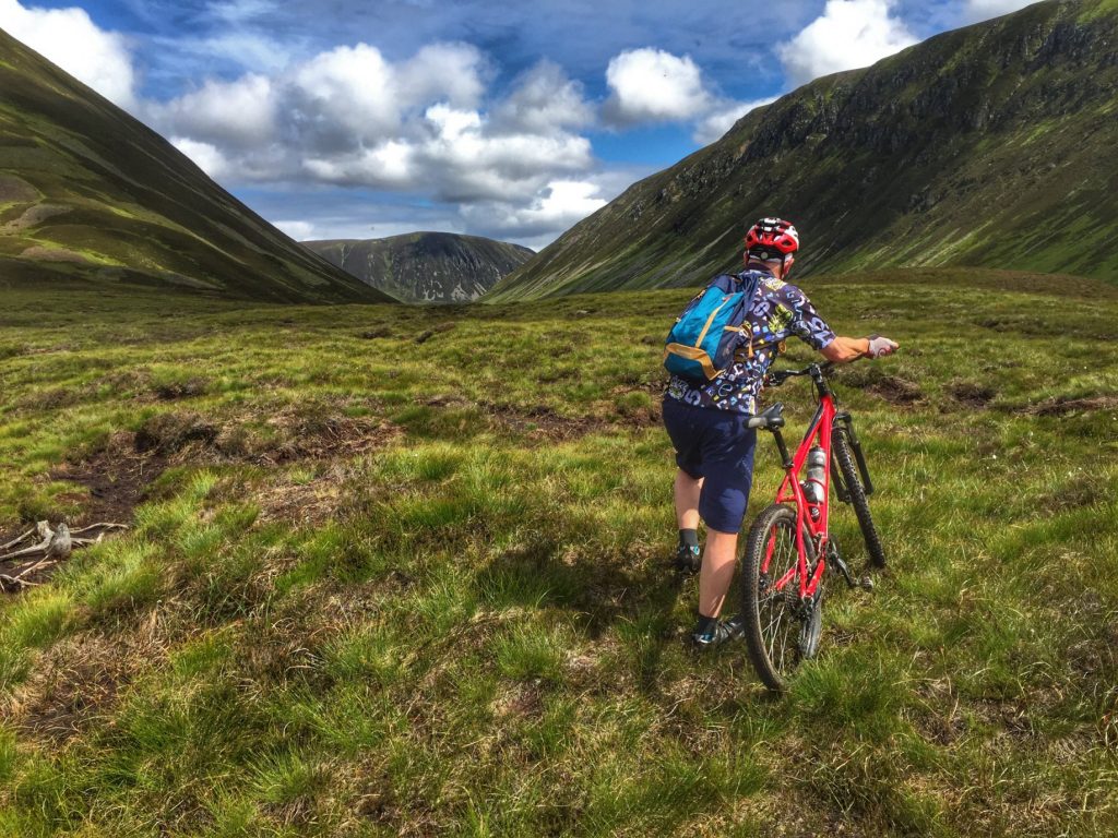
It was difficult heaving the bike up through the heather while trying to keep balance on the narrow path. Hearing a scream, I turned round to find Colette had taken a tumble off the path, with her bike resting on top of her. Luckily she didn’t fall far and the heather made it a soft landing. I got her back on her feet and we struggled on to the top, where we found ourselves at one end of a kind of marsh, with Loch An Duin at the other side, and no obvious path joining the two. We had to zig-zag our way along the tops of mini-canyons of heather with exposed waterlogged peat and spongy vegetation at the bottom, crossing from one to the other in a kind of maze. From time to time I checked our location on GPS to make sure we were on track to intercept the path further along. Having read about the Gaick Pass in advance, we were prepared for this obstacle, but we did get one pleasant surprise in the shape of a wee lizard who we stopped for a minute to watch flitting through the heather.
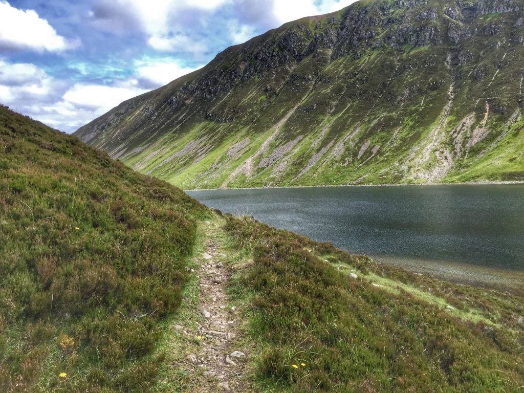
After a while, we came across a proper path cutting through the marsh, which make the job much easier, bringing us finally to the track running along the lower slopes on Au Dun, with the loch below us, where we could see the anglers casting their flies onto the dark waters.
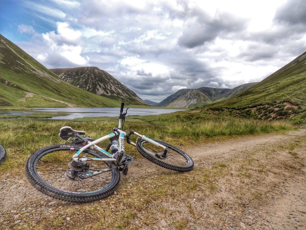
The track was very narrow, and although looking quite cyclable in parts, there were regular marshy bits or boulders that could stop you in your tracks. While that wouldn’t normally be a big deal, the steepness of the slope meant that you could only put your foot down on the left. If you tried that on the right, you would topple over and probably keep going till you reached the shore. It was too risky for us, so we continued to push our bikes the full length of the loch.
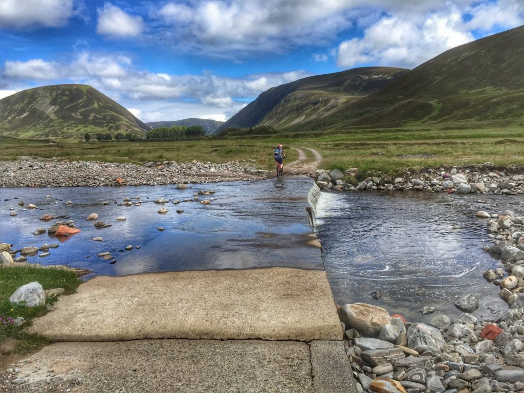
At the far end, the path reached flatter and grassier ground, where I was able to cycle for a bit till we got to a river crossing. This was just a shallow one that was easily ridden across. A short, steep climb took us back onto landrover track once more, which took us away from the steep-sided loch and along a wider, flat valley bottom.
With Loch Bhrodainn ahead of us, we stopped at a nice spot for our picnic lunch. When we realised that it was lunchtime and we had only travelled less that one fifth of our route, it was a little worrying, even taking into account that we had just done by far the hardest and slowest part. So we got back on the bikes and made reasonable progress round the loch till we came to a river called Abhainn Ghaig on the map.
Despite the river levels being relatively low, this was going to be a wading job. Again, this was something that reading up on the route had prepared me for. I had bought a pair of neoprene wading socks in anticipation of my first abortive attempt to do the route, and was still waiting to try them out a year later. Now was the chance! I took off my cycling shoes, then stopped before taking my cycling socks off and just put the wading socks on over the top. Makes sense, eh? Well no, as the wading socks turned out not to be waterproof at all! The padded, grippy bottoms worked a treat for the crossing, but I still ended up cycling with wet feet afterwards, which kind of defeated the object. I’ll know for next time. Colette on the other hand just waded though with her shoes on, as she had got her feet wet earlier on the crossing of the bog.
The track became quite undulating as we passed Loch an t’Sellich, until we came to the dam at the far end, after which we reached tarmac again – woohoo! And it went downhill too – wooohooo!!! On the way down we disturbed a hen harrier, who obligingly called out distinctively to aid our identification.
The next 8 miles or so sped past, taking us to the end of the private road and onto the public road network again, next to the bridge over River Tromie. We stopped briefly at the bridge to admire the falls before pressing on. We were keen to reach Kingussie as soon as possible for a cafe stop, so we only paused one more time for a quick photo of Ruthven Barracks as we passed by.
At the Sugarbowl Cafe in Kingussie, we had tea and cake and our long-awaited sit down. It was good to get a wee break but we were still only halfway round. In my mind, we just had to go down the Drumochter Pass to get back to the car, however I had conveniently forgot the part about getting up to the summit first.
It’s not that it was a steep climb or anything, it was just a sheer slog all the way back. It wasn’t such a pleasant ride as the Gaick Pass to start with, although much easier, but the scenery wasn’t half as nice, and the proximity of the A9 made it noisy and dreary. Add to that the fact that we were tired, the sun had gone in and were riding into a headwind all the way back, and it began to feel like it would never end. While I wasn’t enjoying this second half, I think Colette enjoyed it even less. I can tell that from her asking how far we had to go, and her disappointed, if not horrified tone in response to my answer.
Finally we reached the car and got eveything packed up. It felt like I’d just ridden 100 miles, not 50, but the slog of the second half was worth it for the sheer joy of the first.

