
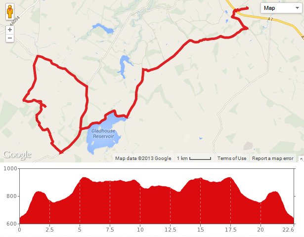
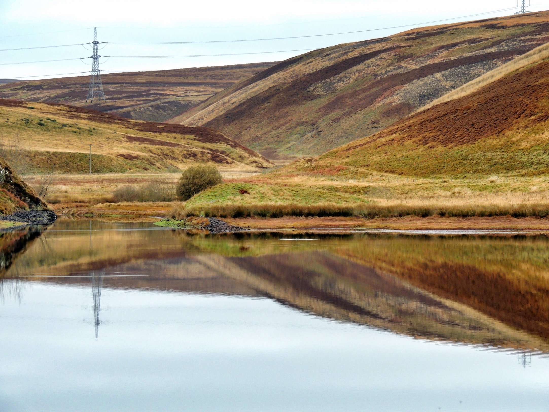
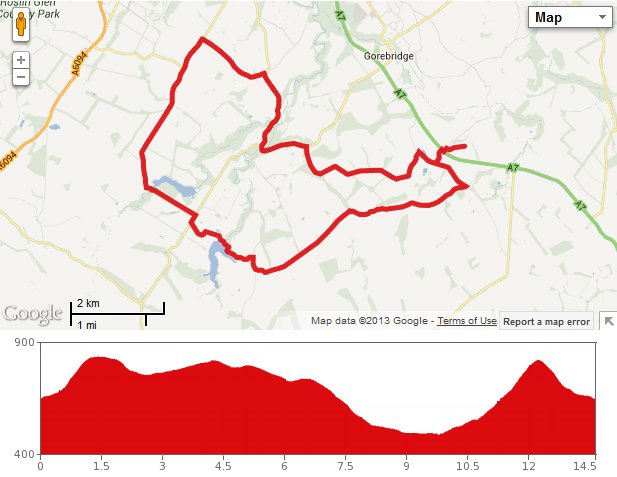
I thought I knew all the reservoirs and ponds close to us, but when glancing at the satellite map recently, a small heart-shaped loch or pond was visible not far from the B7007 Granites road, nestled between Broad Law and Torfichen Hill. What’s more, there seemed to be an island in the middle with a walkway leading to it. Looking on OS maps, the pond was marked at 1:50,000 scale, but was replaced with the words “Foul Slush” on the 1:25,000 map. As off-putting as that sounds, it only served to intrigue me more, and since there was a track leading from the road to the pond, it became high on our list of places to visit.
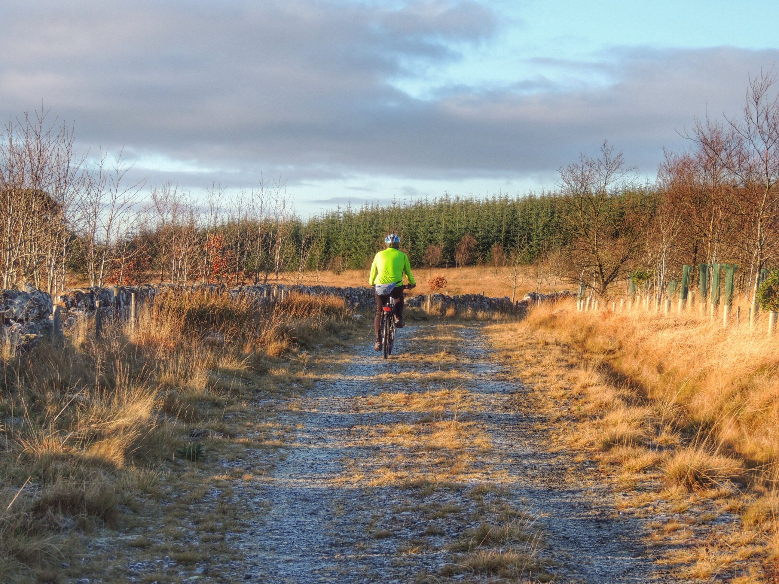
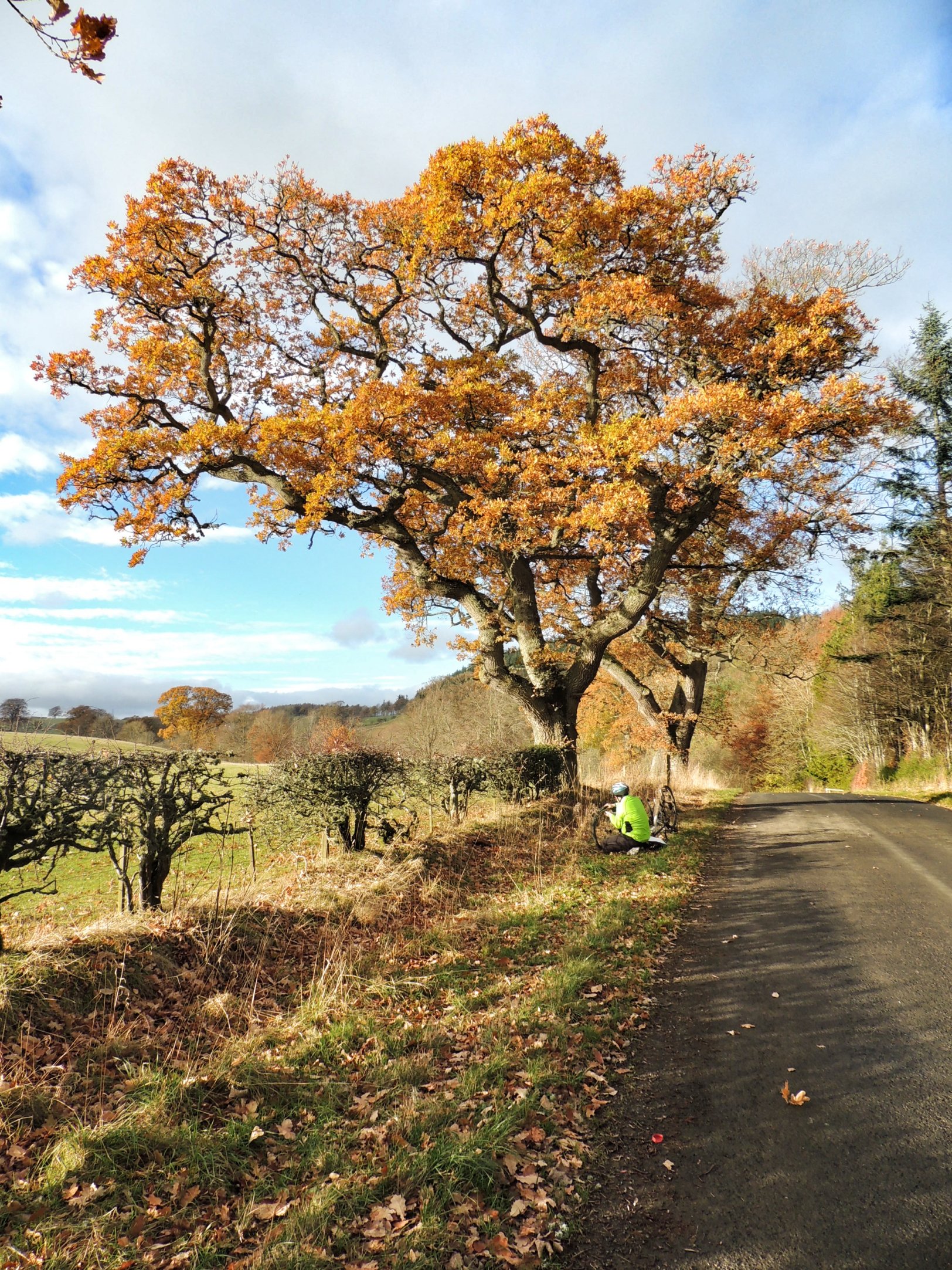
We were waiting for a reasonable day, and the forecast for today showed the rain stopping and the sun coming out in the afternoon. So off we went, along the A7 to take the Innerleithen turnoff. However, before we reached the turnoff, I had to stop and examine some roadkill. It looked at first glance like an otter, and on second glance it was most certainly an otter. It was so sad. I didn’t even know we had them around us before today, and clearly we have one less now. Crossing the A7 is unfortunately a dangerous thing to do.
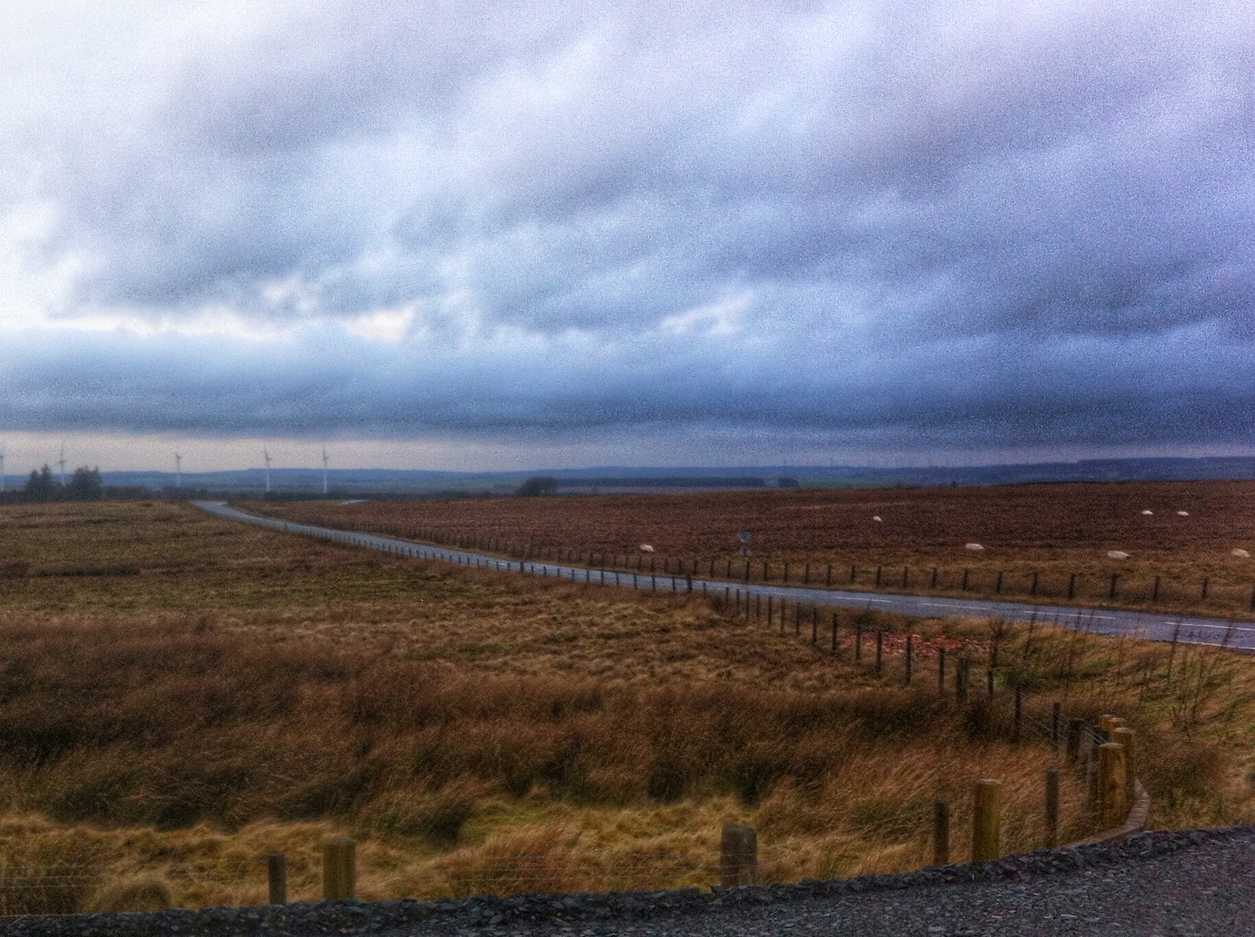
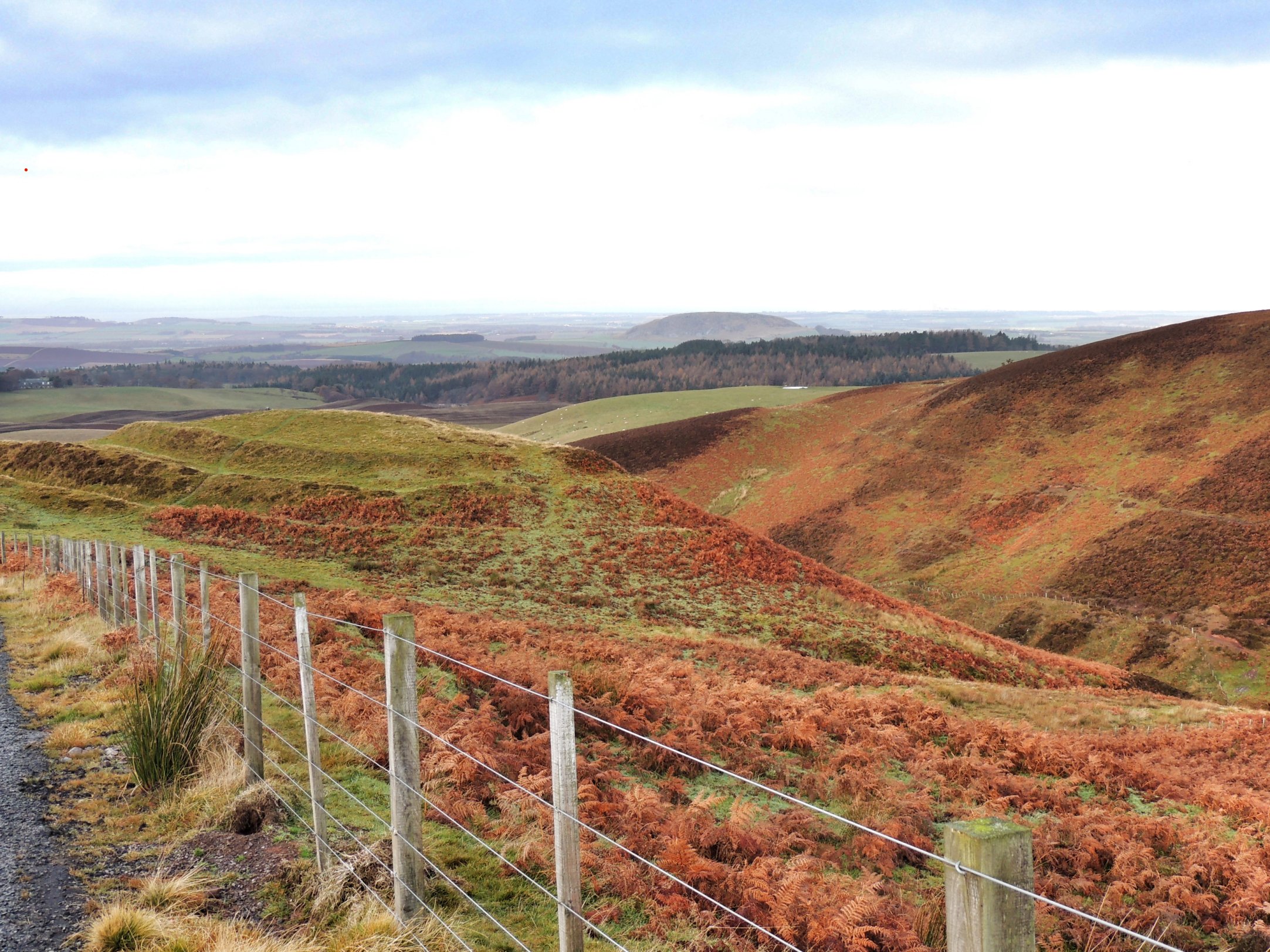
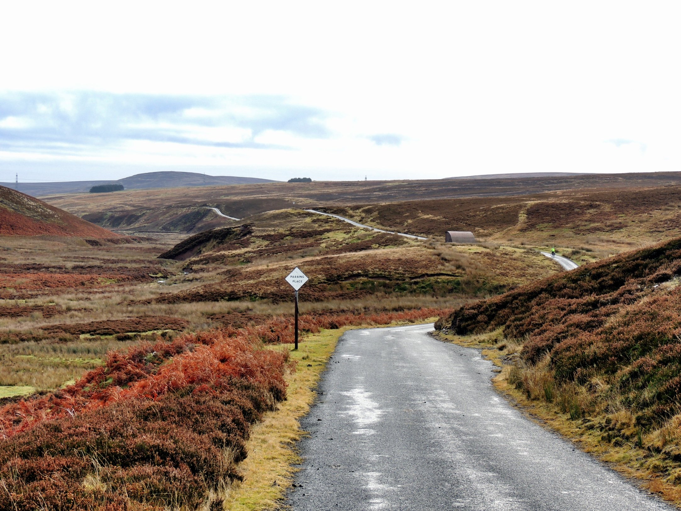
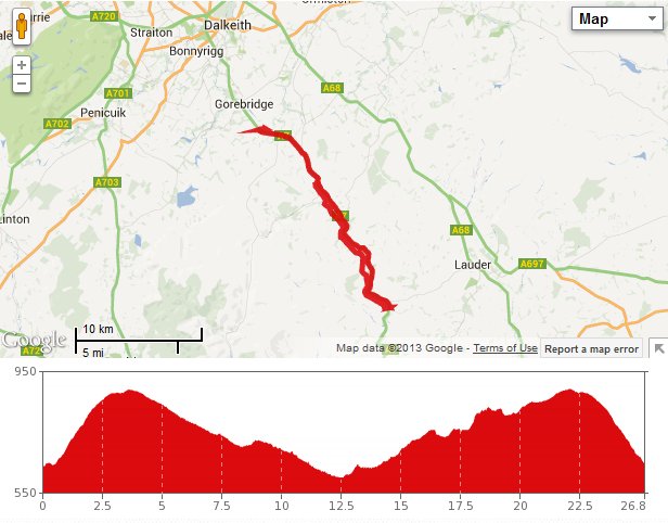
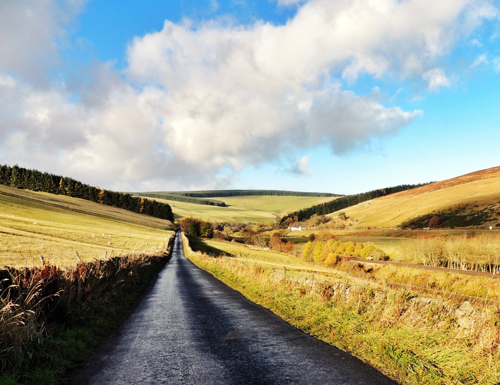
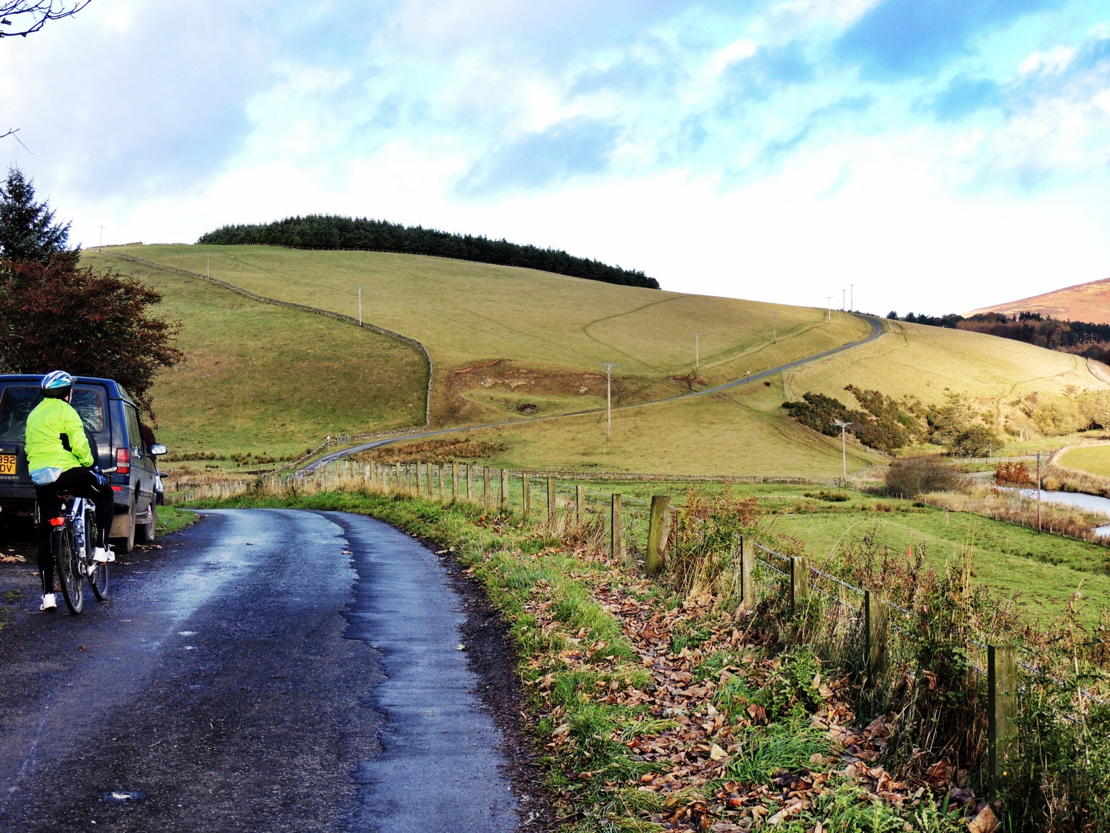
On reaching the B7007, there began the long, slow climb. Luckily the gradient is never particularly steep; it just goes on for a long time until you turn a corner and enter the Scottish Borders. Sadly, the weather forecast was a bit off the mark and we had to forego sun for steady drizzle and a strong breeze, which became evident once we reached the top.
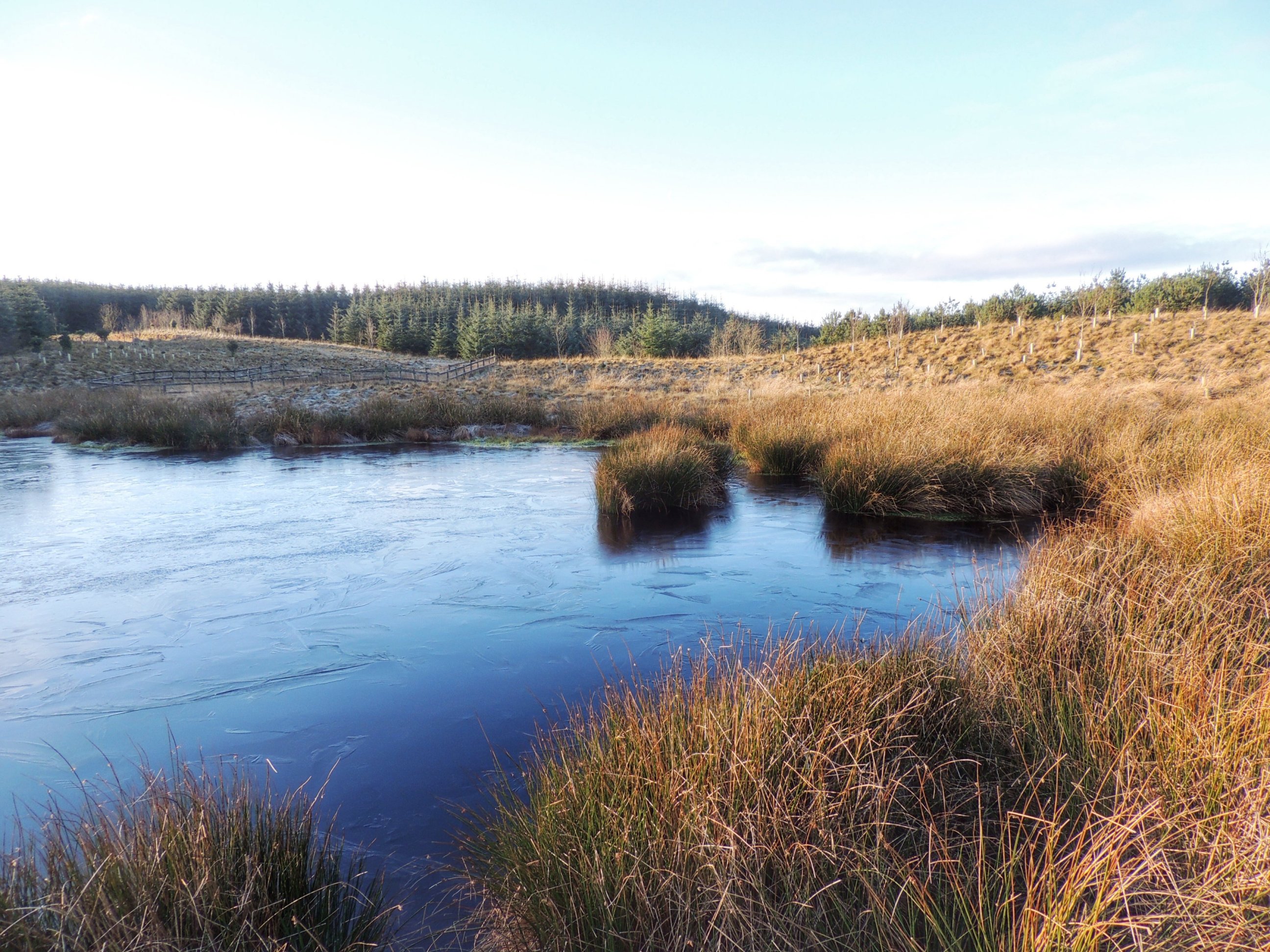
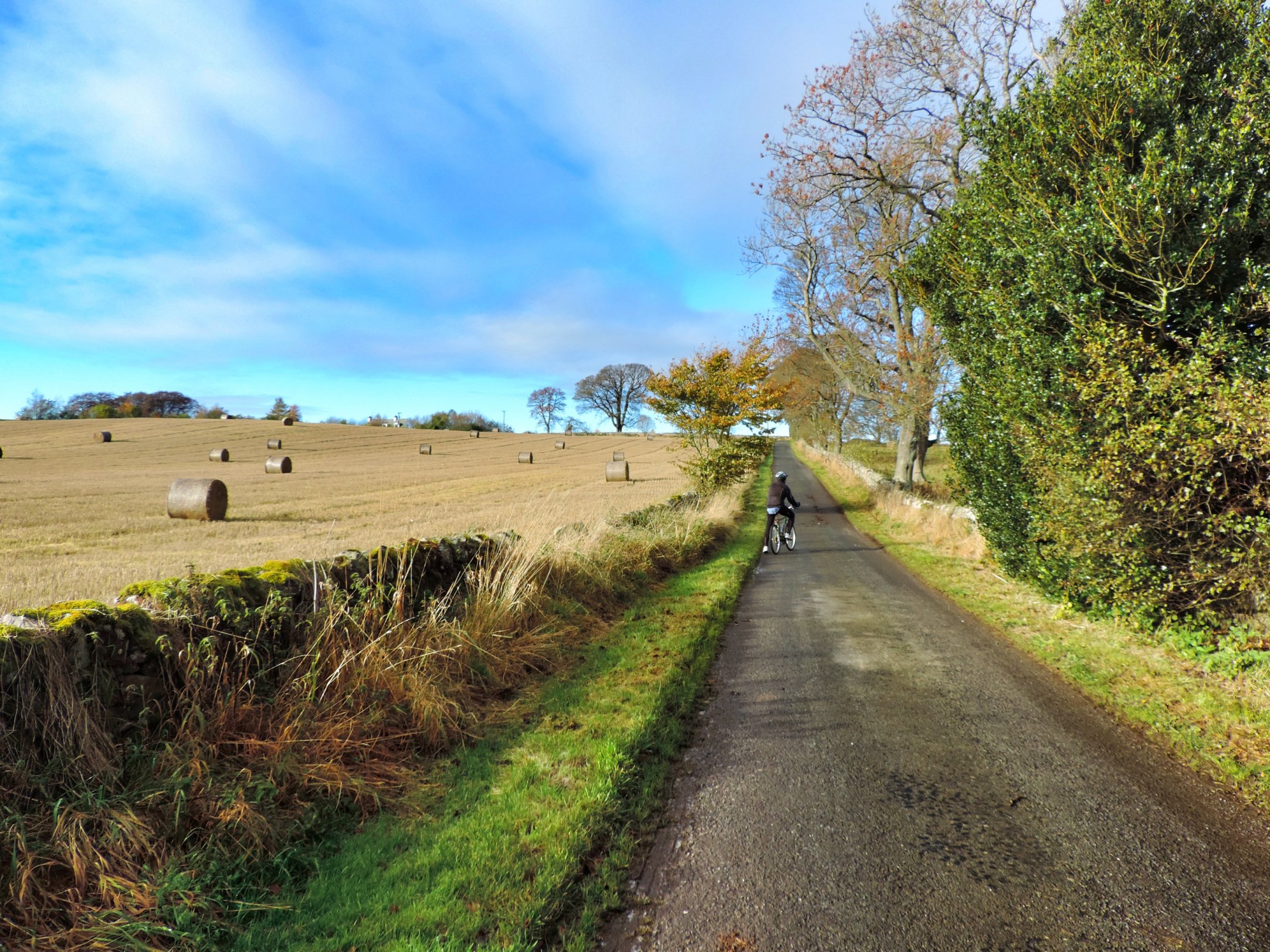
We made our way to the turnoff for Foul Slush, which was a locked gate. We lifted the bikes over and cycled along a fairly good landrover track, past some recently planted conifers, until the pond came into view. Immediately, we scared off a pair of ducks from the water and it was clear that this was a man-made duck pond, surrounded by little brick-built pits from which hunters could shoot at them. I was worried that there might be some hunters in residence who might not too happy about our sudden appearance, but that was not the case, thankfully.
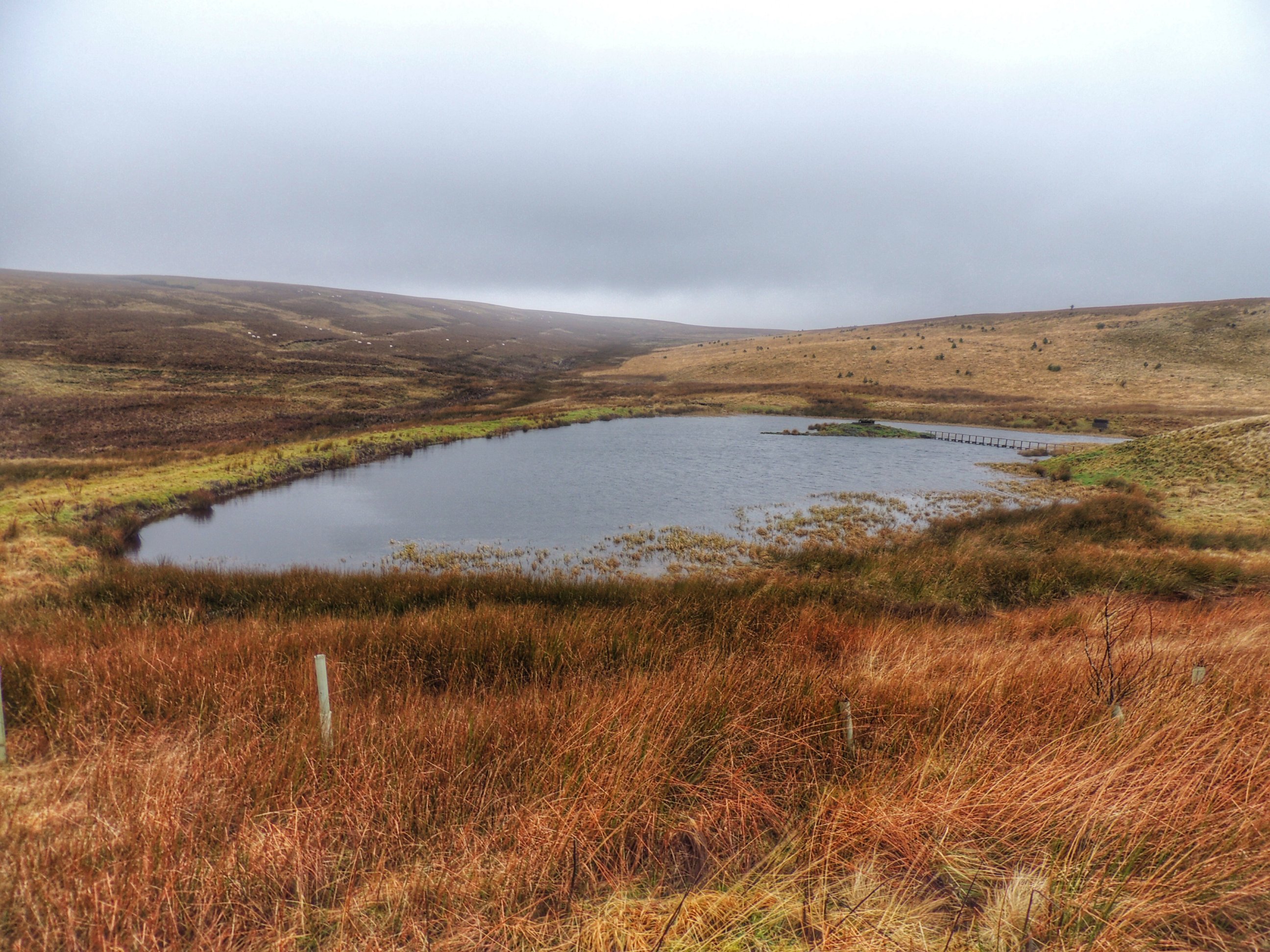
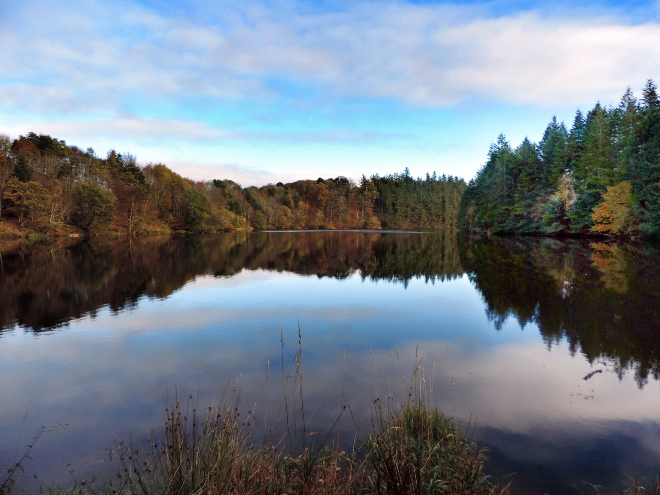
First glimpse of the pond
Getting to the central island was our aim, so we squelched our way round on foot through boggy ground (or should that be “foul slush”) till we reached the wooden walkway. It was slightly slippy, so we took it easy. Once in the middle, there wasn’t much to see, bar taking a look into the shooting hole. I had planned to jump down, but it really didn’t look very inviting at all, so I passed.
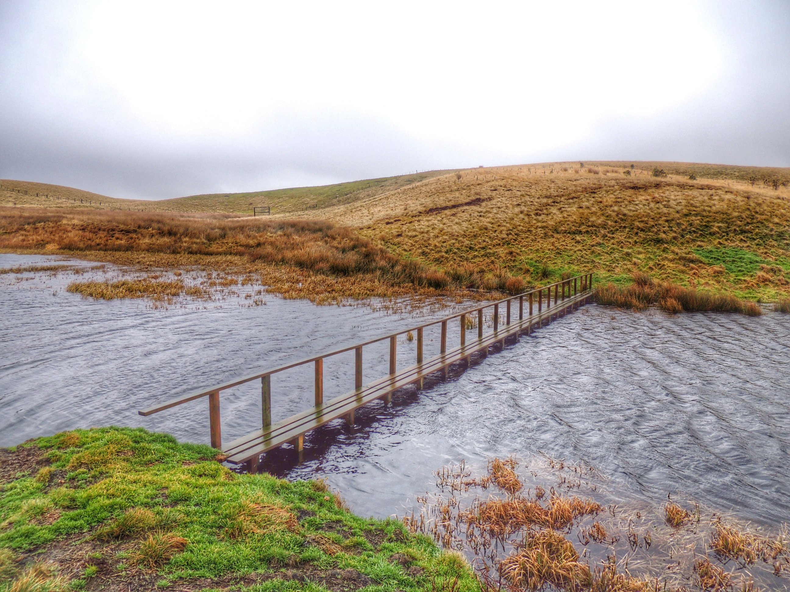
The wooden walkway was surprisingly sturdy
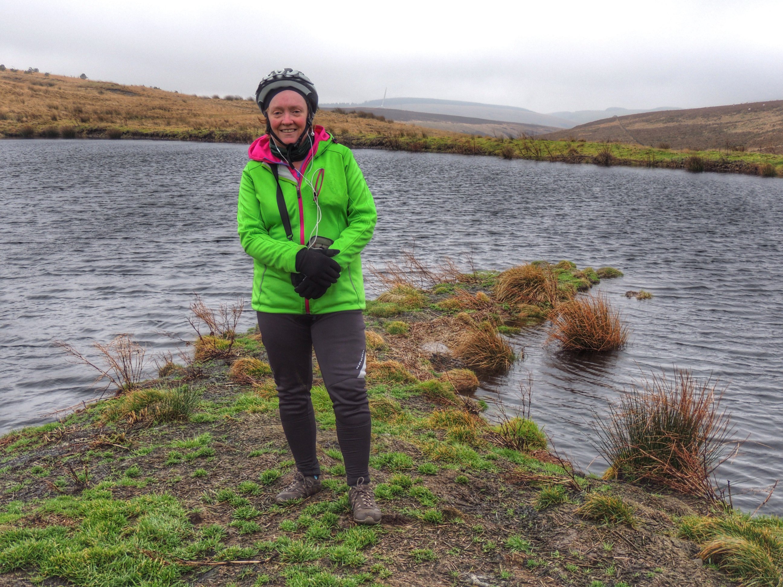
Colette on the island
After we had satisfied ourselves that we had seen all there is to see, we made our way back to the bikes. Our original plan, based on the assumption that we were in for a dry, sunny afternoon, was to cycle down to Heriot then complete the circle back home on the A7. However, as the weather had not been so obliging and our feet were various degrees of soaking wet, we decided to just head back the way we came. That meant we had about 4 miles of downhill to enjoy, bringing us home in no time at all.
Now, if anyone reading this blog post is planning a visit to Foul Slush on the strength of it, please be aware that there will be times that shooting is going on, so keep your ears and eyes peeled for the signs. As far as I can tell, the duck shooting season is Sept 1 to Jan 31, so outside these times would probably be best. But keep in mind that other kinds of shooting might be taking place. Basically, please don’t get yourself shot on my account!