
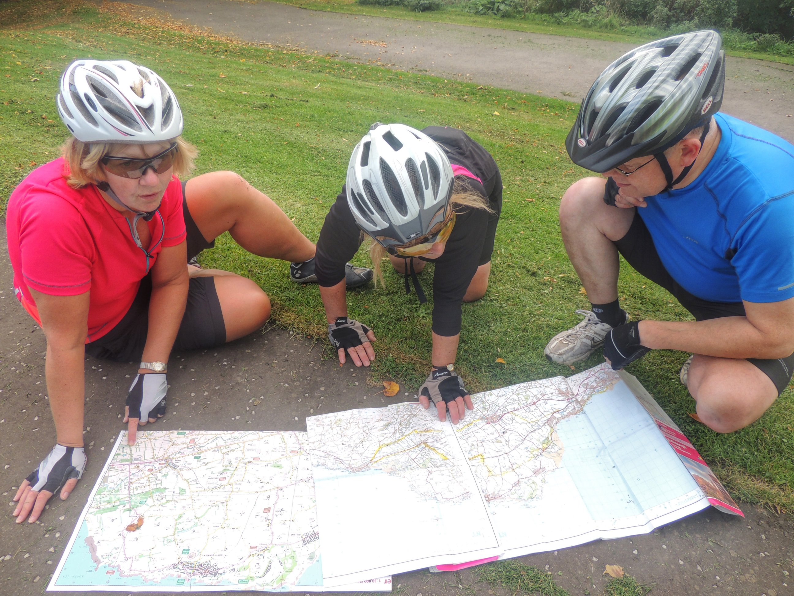
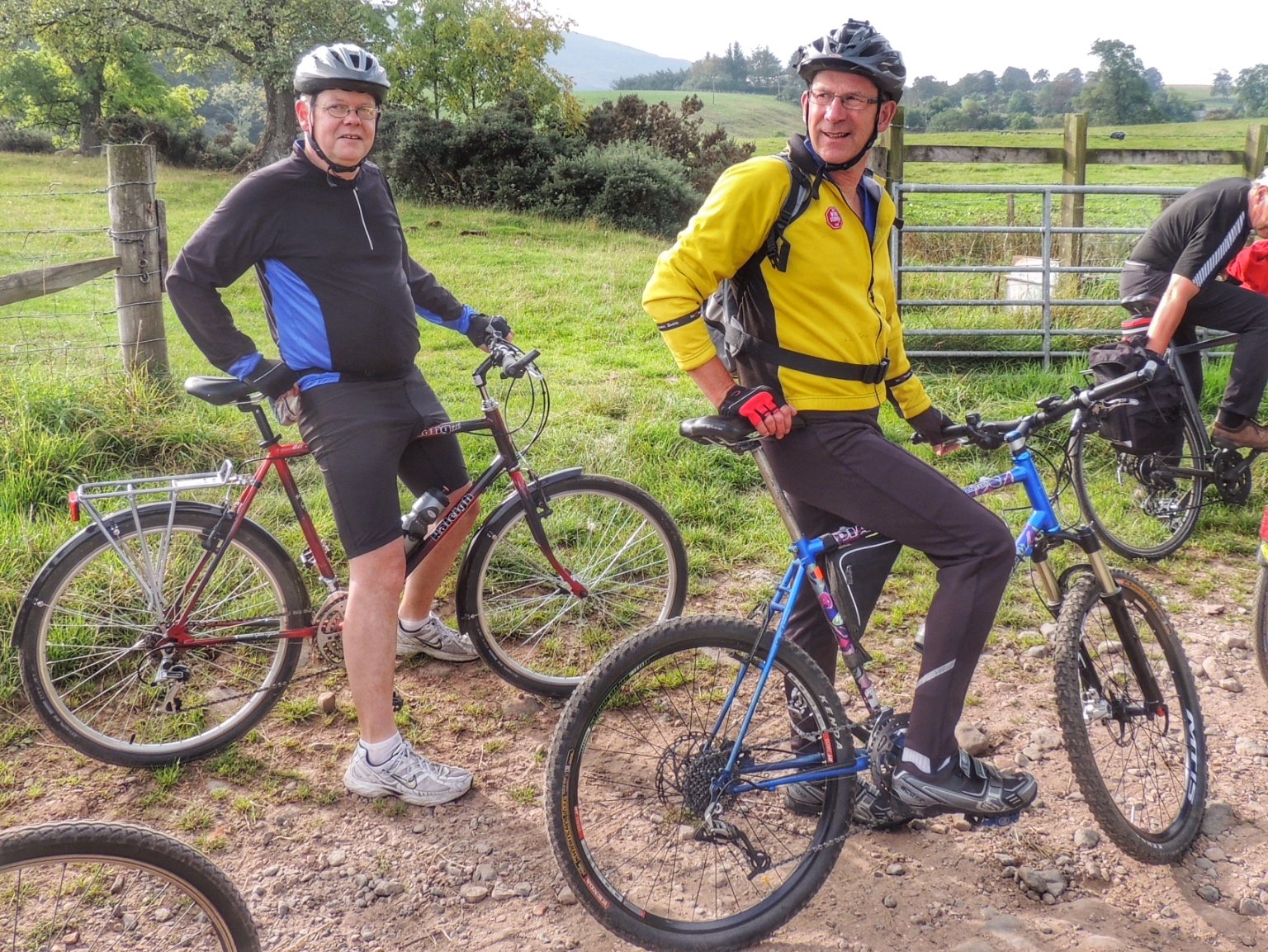
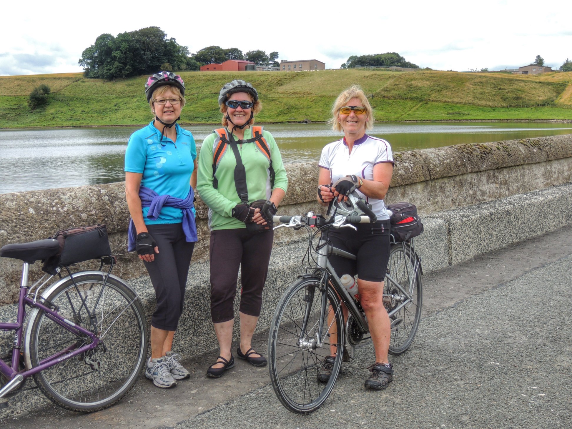
Colette and I met up with Fiona, Susan and Alison for another “famous five” outing, this time starting from the spacious Sainsburys car park in Livingston. The aim was to scope out a route via Shotts to Caldercruix, then returning primarily using cycle route 75. I had forgotten to print out the route in advance, but that wasn’t a problem, as Fiona and Alison had brought maps and Alison also had the route programmed into her Garmin!
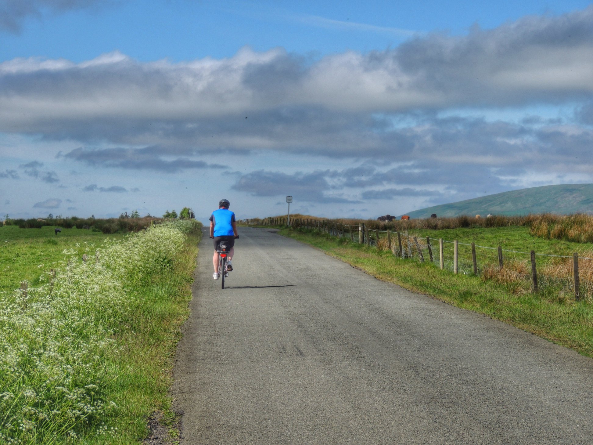
After chatting and fiddling with bits of bikes, trips to the loo and general faffing around, we set off a good bit later than planned. Then at the first roundabout, the maps came out to help decide which exit we needed to take. We ended up going southwest along Charlesfield Road, going right at the next roundabout then first left, which got us onto the B7015. The stress levels began to ease as soon as we got onto that road, since we had left Livingston behind and were now cycling through countryside.
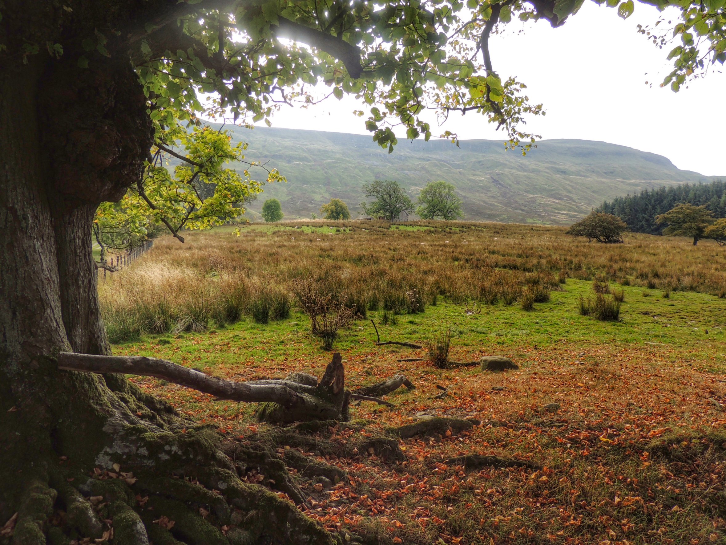
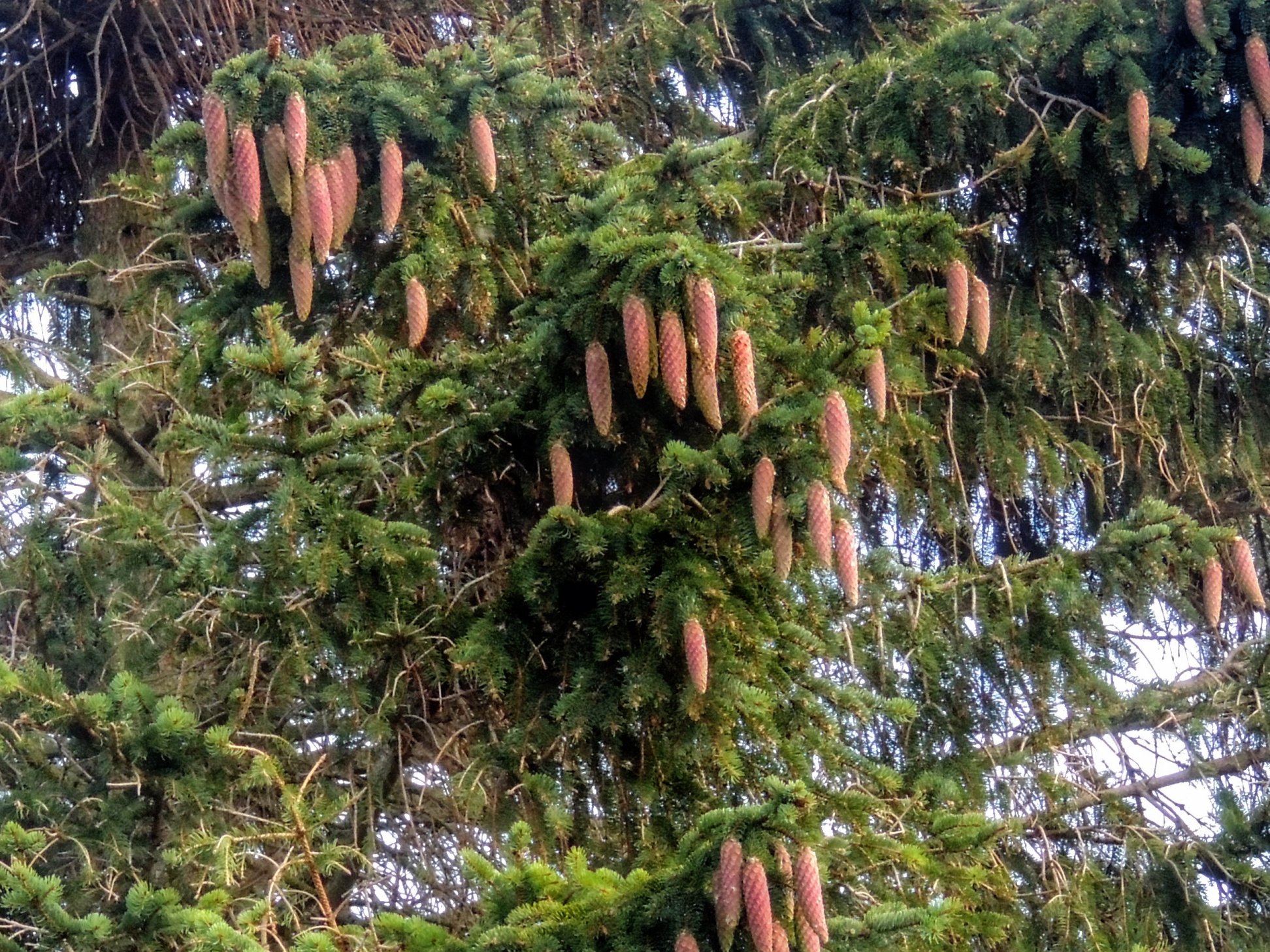
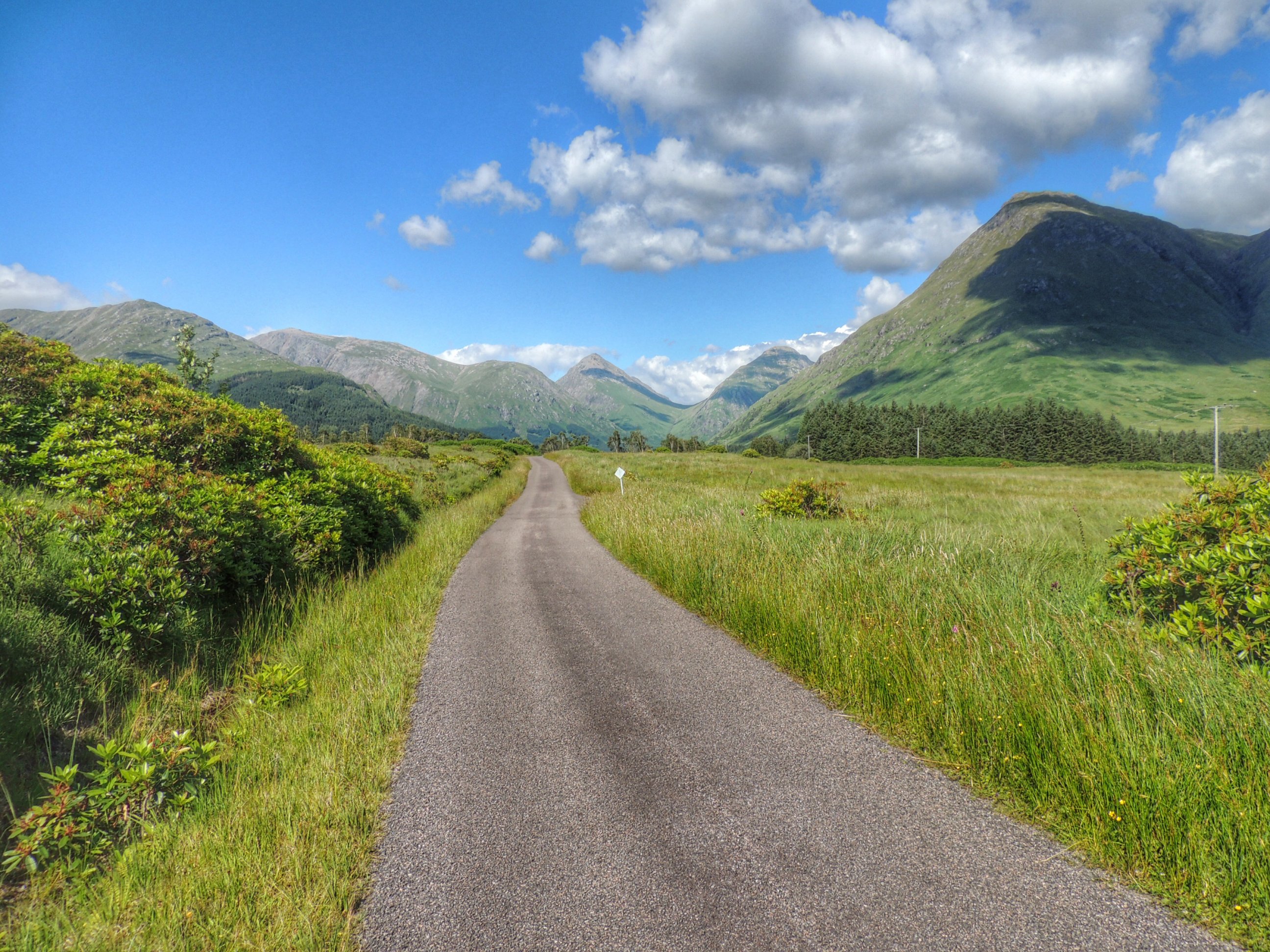
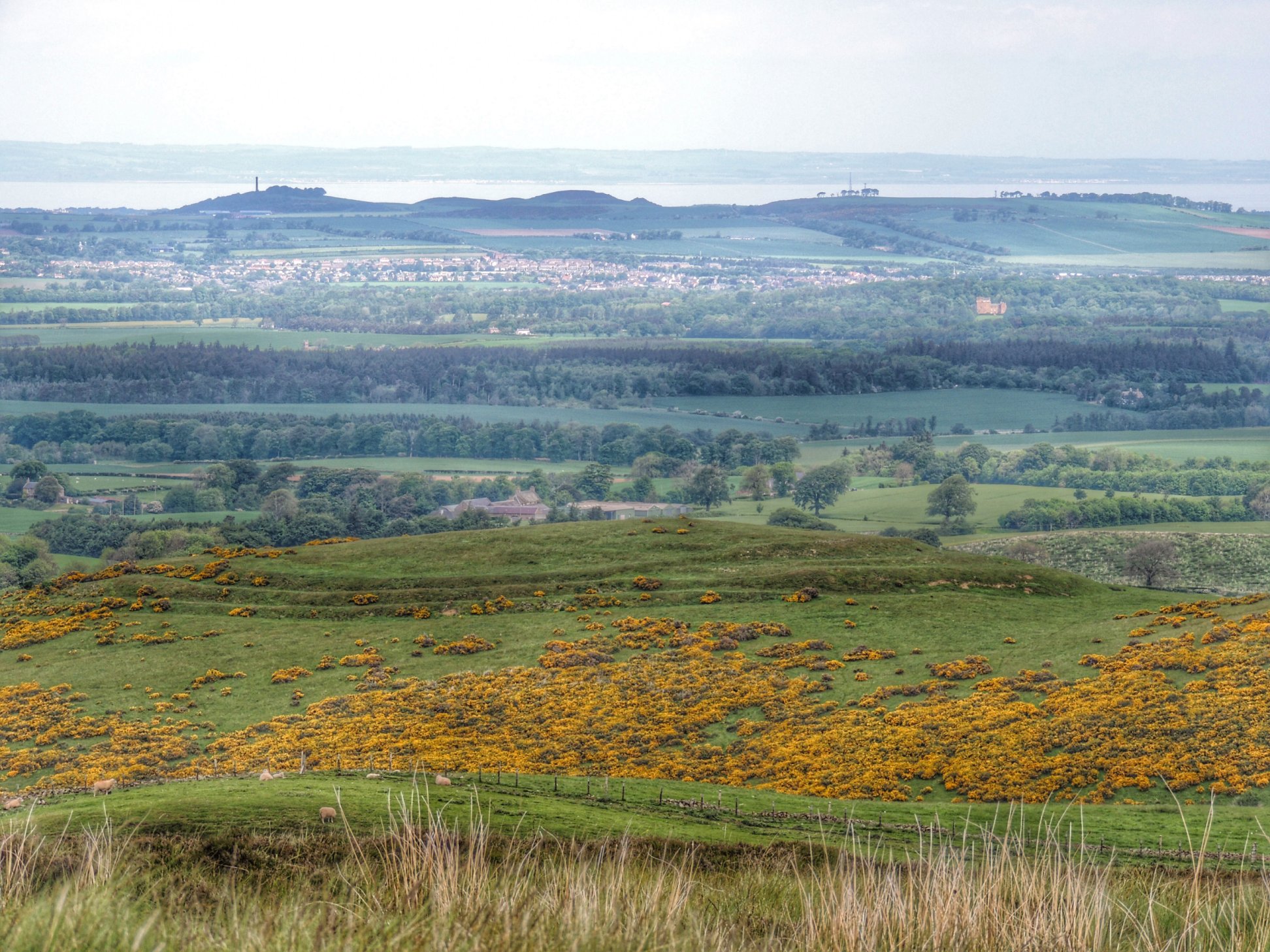
On approaching the sign for Stoneyburn, Alison called out to say that we were now off track – her Garmin said we should have gone right at the previous junction. So we turned around and headed back to pick up the route, with the Five Sisters looming large in front of us.
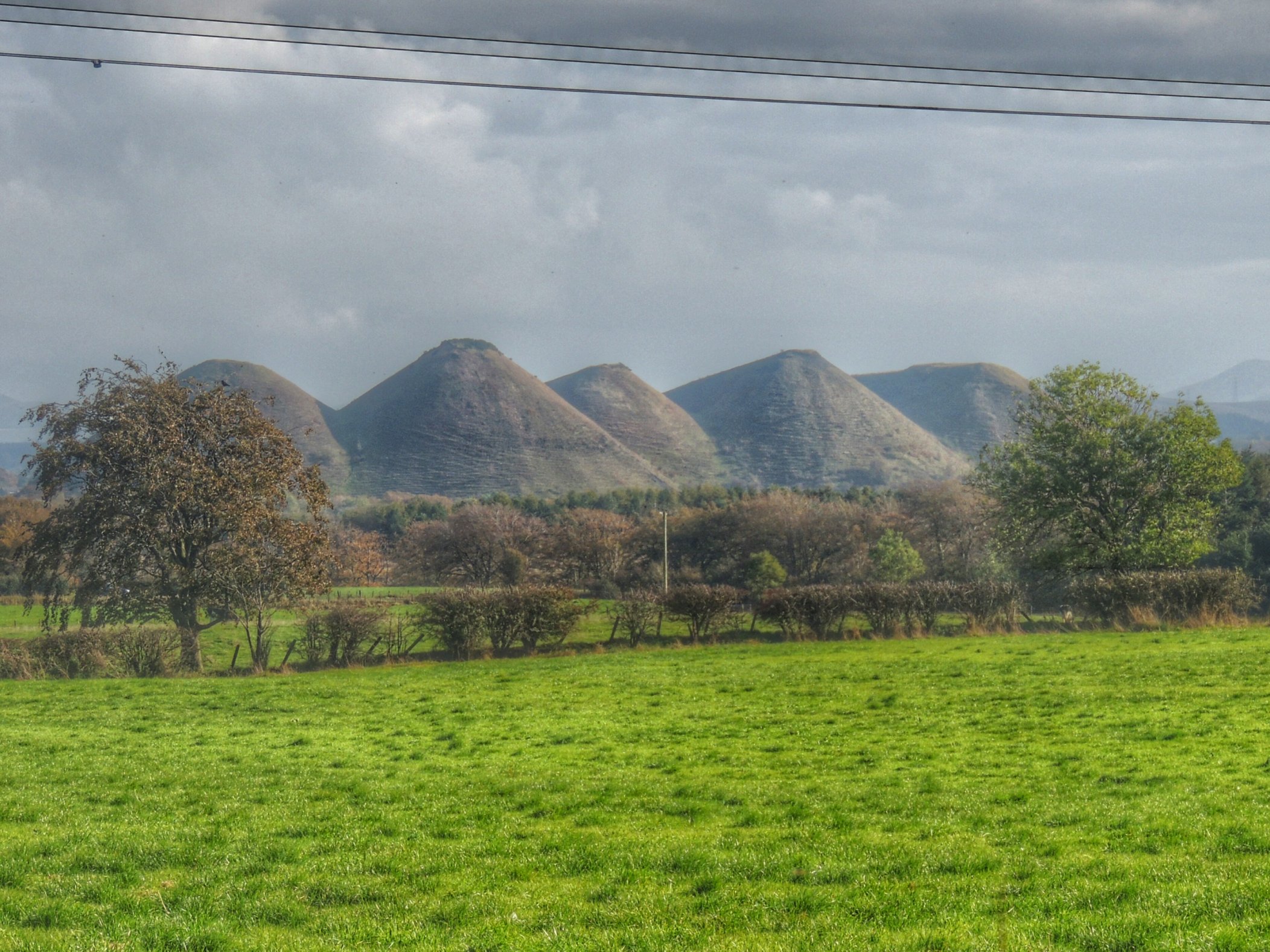
The five sisters
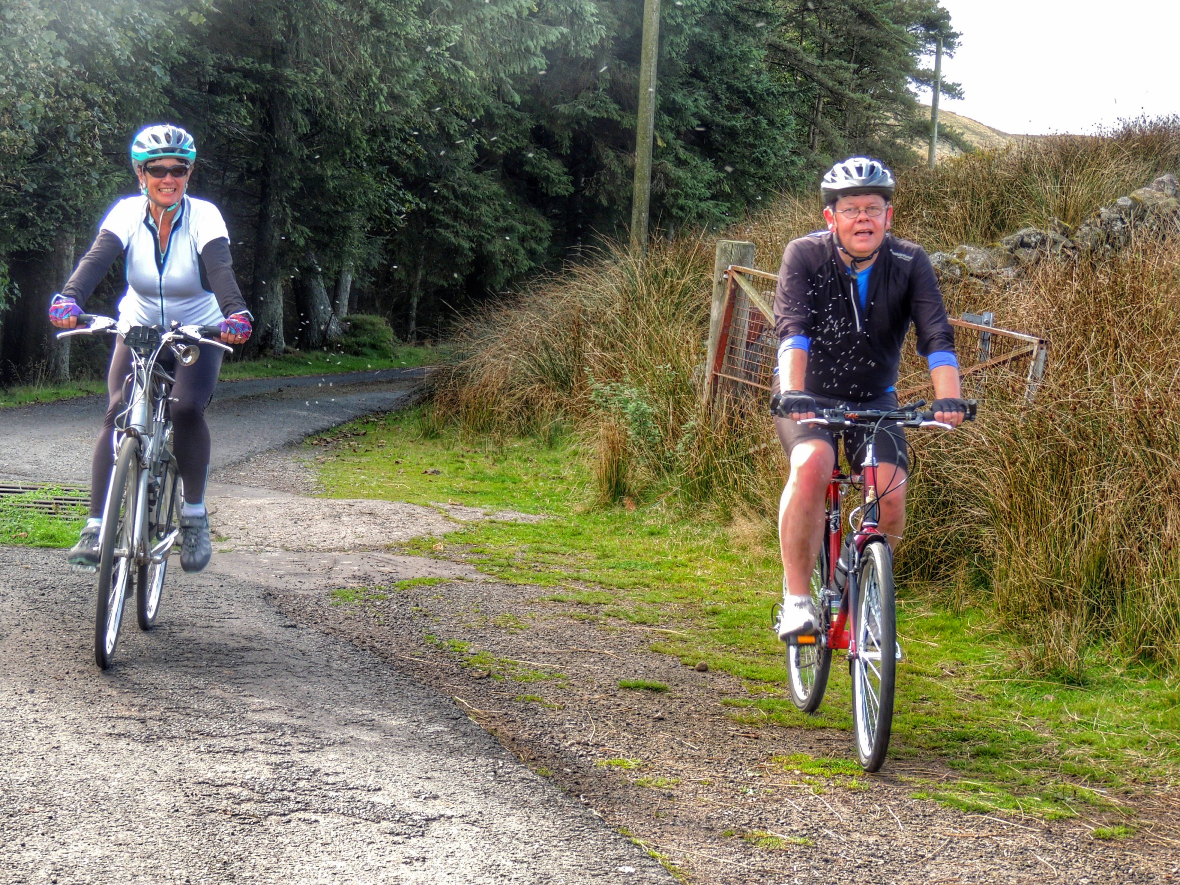
Our route then took us onto a quiet back road that ran through Longridge then on into Fauldhouse. That was where my mum was brought up and my grandpa ran a fish and chip shop up till the late 60s. I scarcely remember that now, as I must have been about 4 years old when they moved away and I haven’t been back at all for years. We stopped at a shop, where Fiona bought sweeties and I asked the shopkeeper whether she had any idea where the old family shop would have been. No luck there, so we just carried on through on our route, with nowhere standing out from my memory. I suppose I will need to go back better prepared next time, and take some photos for posterity.
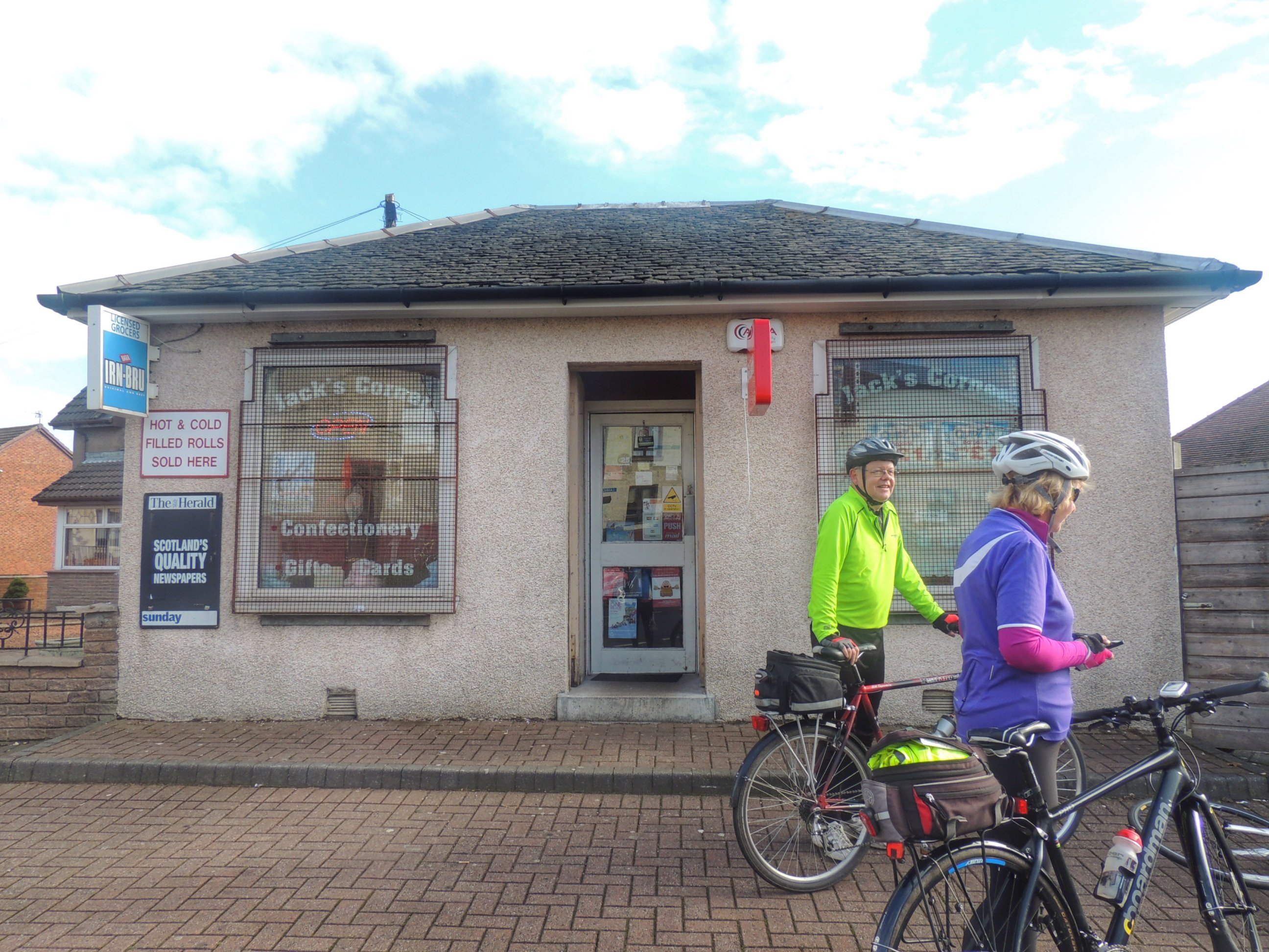
Paused in Fauldhouse
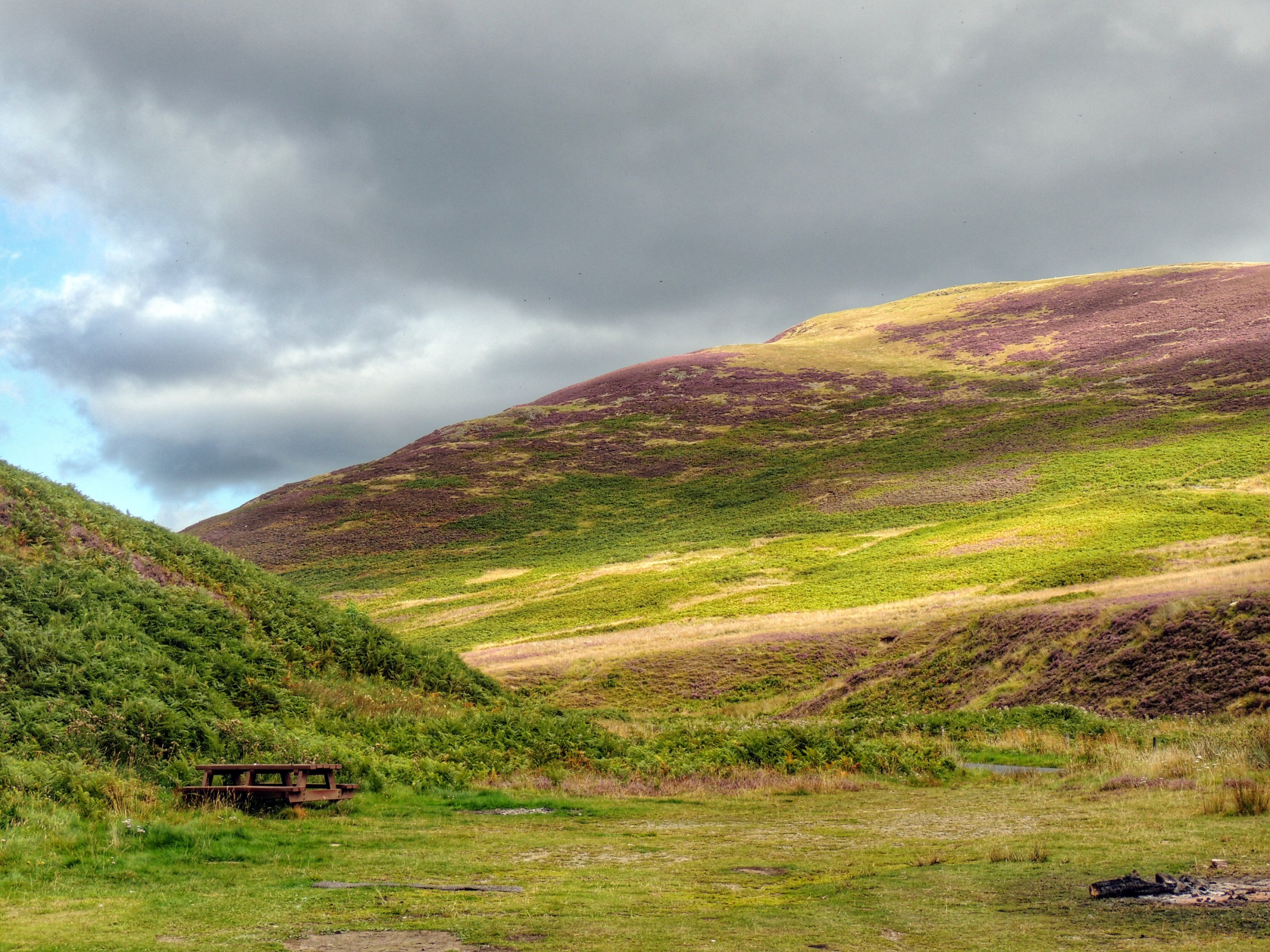
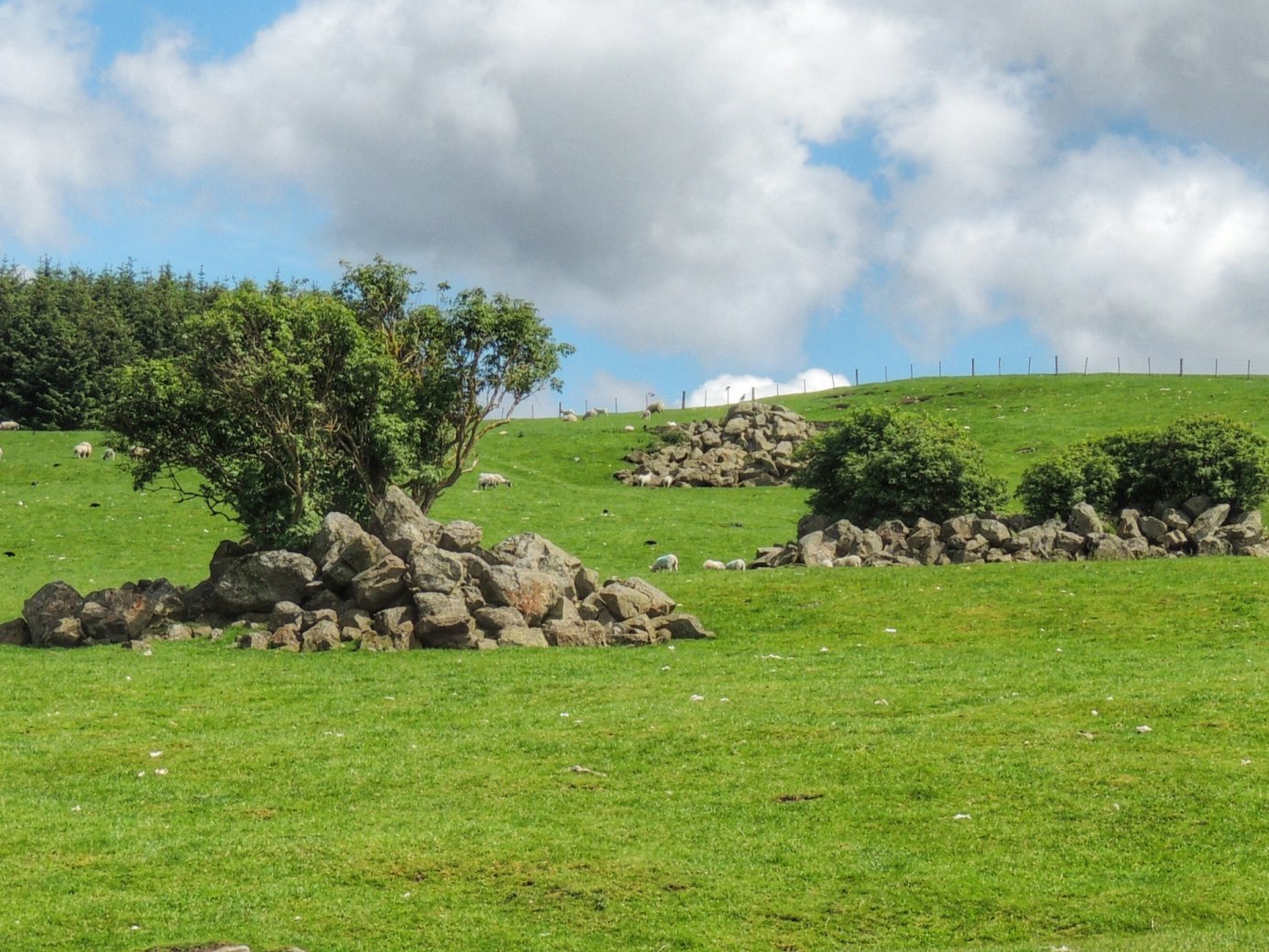
Leaving Fauldhouse, we found ourselves on a quiet road running through desolate moorland, brightly lit in the autumn sun, highlighting the bings that lie scattered across the landscape. Maybe it was the sunshine, or maybe because we were cycling, but this lansdcape was far from as dreary and depressing as I seemed to remember it.
After a few more miles, we approached Shotts. It had taken longer than we expected to get this far and we were in need of some lunch. Riding through, there didn’t seem to be much in the way of suitable lunch stops, so we paused at a petrol station and Fiona asked for info. Our choice was quite limited: a truck stop diner or the Healthy Eating cafe. The truck stop was closest, so we went over for a looksee. It was quite busy, but appeared to be takeaway only. Even if there were seats, the ladies didn’t like the look of the portaloo that was located outside, so we went in search of the alternative.
If any cyclists reading this want to take notes, then the Healthy Eating cafe in Shotts is reached by going north from the roundabout with the petrol station, then turning left into Kirk Road. After about 100 yards, there is what looks like an old school with a car park. The Getting Better Together Project is in the smaller building there, and has a cafe on the ground floor.
I don’t think cyclists frequent this cafe much, but we were made very welcome nonetheless and we made our choices from a varied and healthy menu (i.e. no chips!). It was also very reasonably priced! We gathered round a large farmhouse kitchen-style table and enjoyed a relaxing lunch. Come to think of it, we had been a little too relaxed so far, and after spreading the maps out across the table, it was plain that we had only progressed just over a third of the way along the proposed route. We needed to start pressing on…
Emerging from the cafe, the sun was still shining, but the wind seemed a bit stronger and there was a cold bite to it. Climbing the hill up Benhar Road helped to warm us up a little, as we headed further north. This road took us out into some bleak countryside with litter-strewn verges and quite busy with heavy lorries.
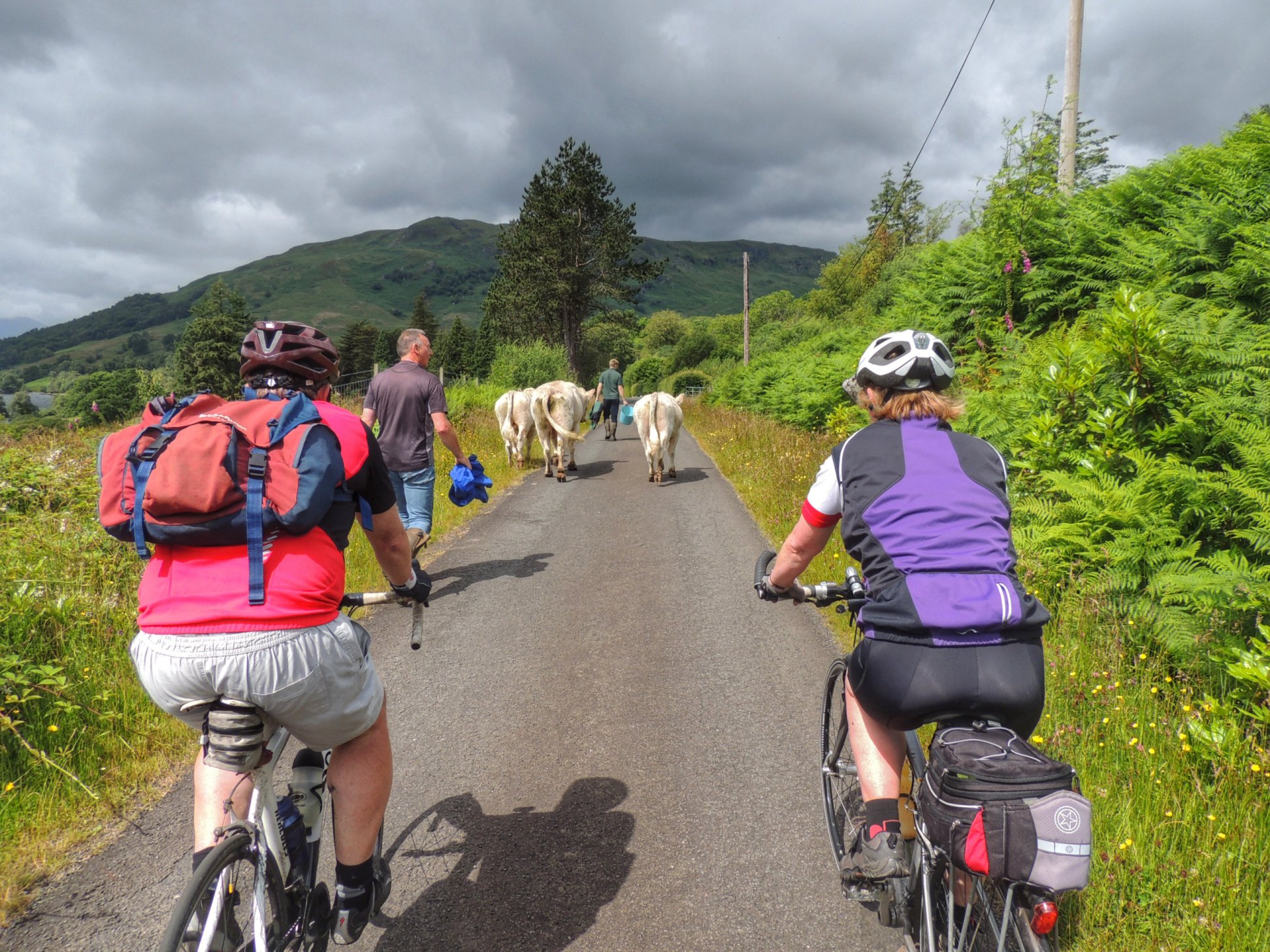
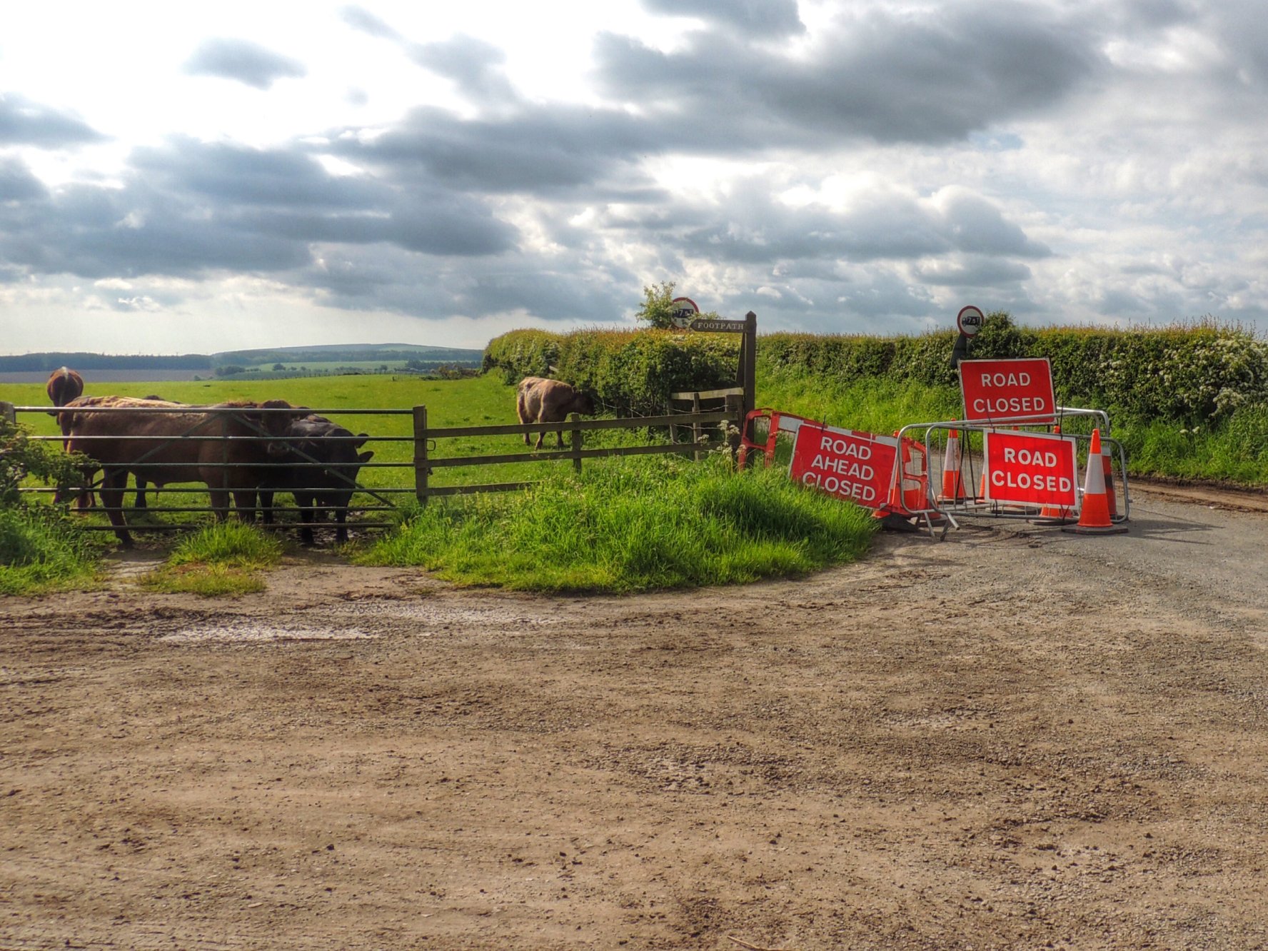
Finally, we reached a T-junction where we were going to turn left and head for Kirk O’ Shotts then on to Caldercruix via a hilly route, before turning homewards. However, there was a sign saying the road to the left was closed. As we pondered what to do, we saw another cyclist turn left and carry on, which made us think that there was still a way through. The decision was made to take a short cut missing out Caldercruix, so after following on behind the other cyclist, we took the first right (House of Muir Road). This road ran over the M8 then down past a disused quarry, which sadly seemed to be a fly tippers’ paradise. The road up the other side of the quarry was hard going, and as we emerged on the far side, we came across a farmer driving a huge flock of sheep down the road towards a farm. On going past the field from which they had been rounded up, we spied a lone sheep at the gate, left behind and baa’ing plaintively.
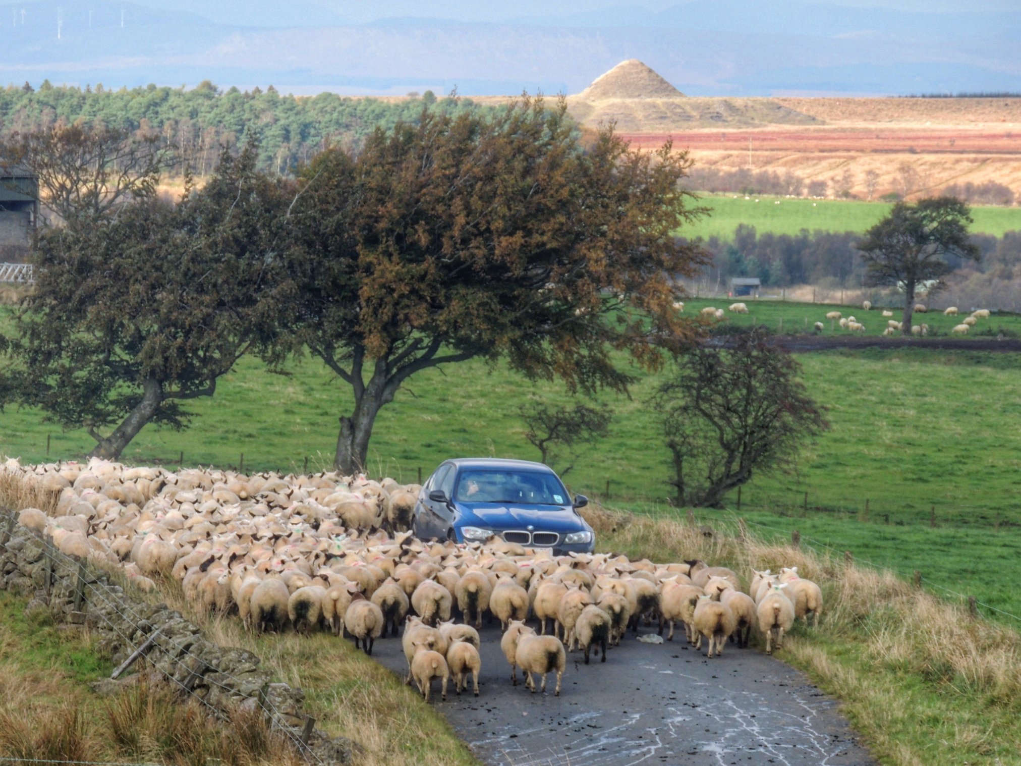
Sheep coming through…
Although we felt sorry for the poor sheep, it wasn’t our place to open the gate and let it out. So we cycled on slowly, gradually catching up to the woolly cavalcade. Then one of us noticed that the lone sheep had now managed to escape the field and was following on behind us. I managed to get behind it and slowly coaxed it forwards in the direction of the other sheep, which were by now penned up on the farm. This poor lamb seemed to be a bit poorly and lacking in strength. I made sure to let it go at its own pace and not get too close. Even so, after a while, it gave up the ghost and stopped beside the wall, with its head down. I decided to leave it there, and by this time, the farmer was already coming back for it, having been alerted by the others who went on ahead. It’s a hard life out on the moors.
After a while, the road went past another quarry, this one very much in use. The driver of one of the lorries wasn’t expecting us, and was still reading his job sheet as he turned left into our path. He got such a fright when he noticed us!
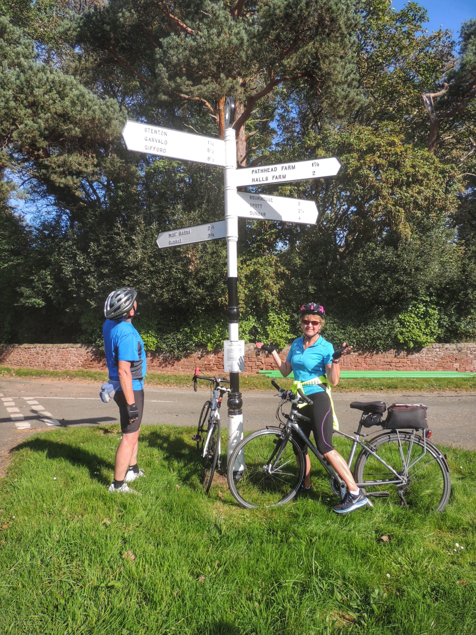
Our northwards progress came to a halt when we met the A89 Airdrie Road. We turned left there, then immediately right and over the railway which took us to an entrance to a very convenient cycle path running alongside the railway. This was route 75. Alison explained how the cycle path was originally constructed on the bed of the old railway, then when Scotrail decided to reopen the line, they were obliged to keep a cycle path running alongside. It’s a shame it didn’t happen that way with the Borders Railway – it would have been great to have a cycle path all the way to Gala.
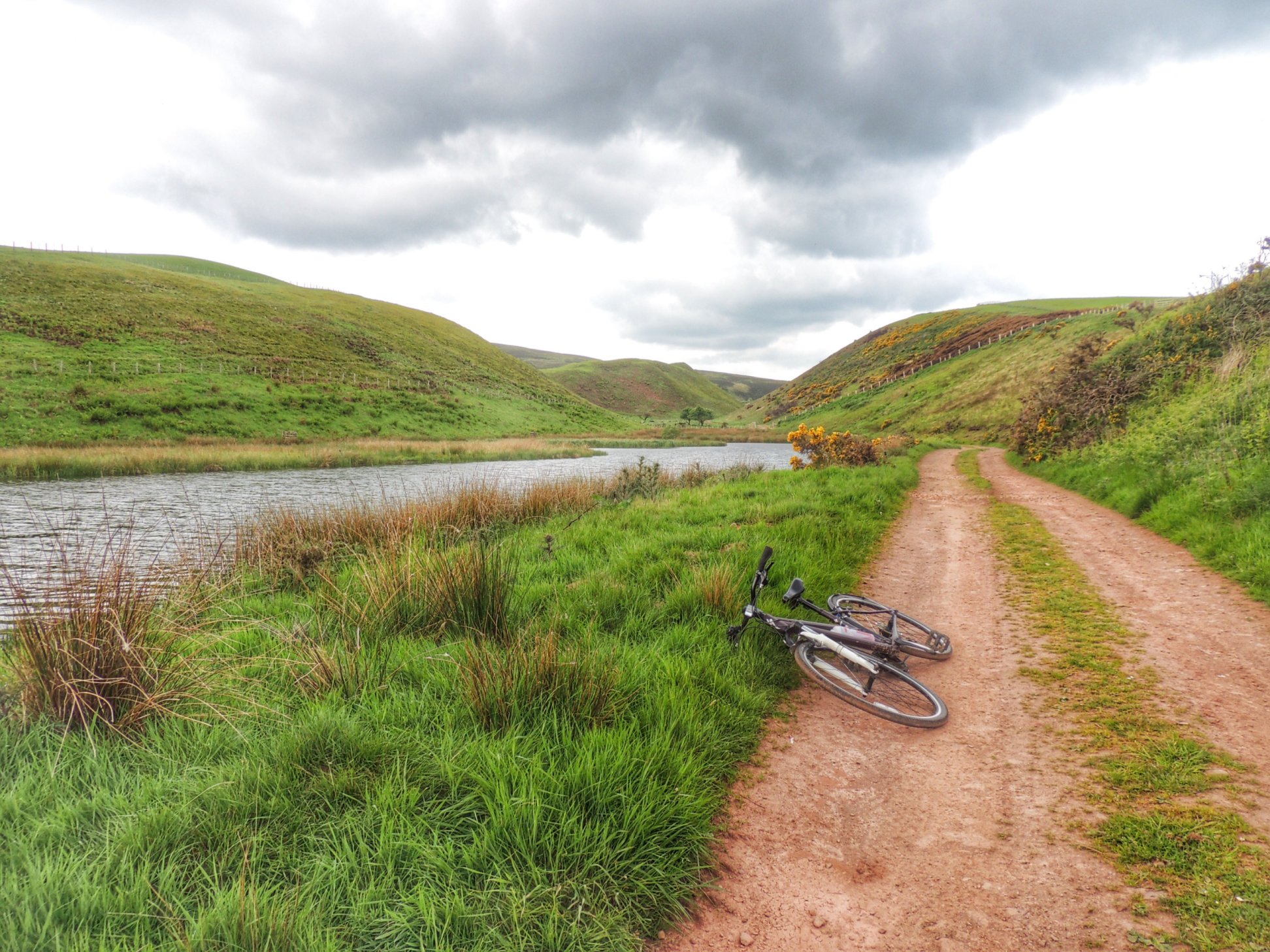
Although we were enjoying the lack of traffic and the great surface, we were now experiencing a headwind for the first time. The path was exposed for a lot of its length, so our progress was a little slower than it might have been.
Route 75 continued alongside the railway for quite a while, but took a detour round the Wester Inch housing estate near Bathgate, past some ponds full of ducks and swans. The path then took us close to the M8 where we cycled past the famous grassy pyramids then over the motorway and through a marshy area which eventually led to the A77 near the outskirts of Livingston.
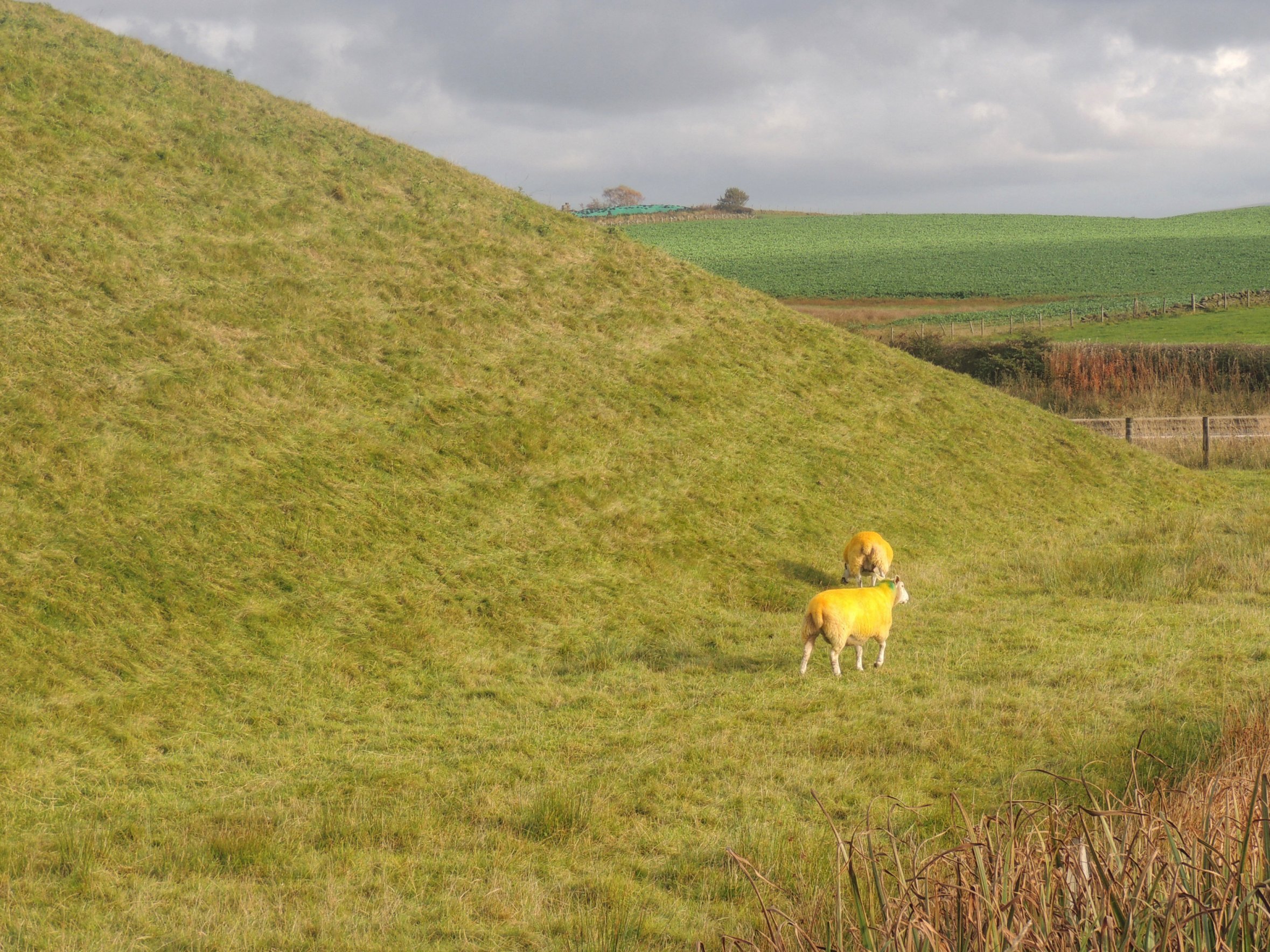
Yellow sheep grazing a grass pyramid
After that, we continued to follow route 75 along a network of wooded paths, mostly sunken below traffic level. I had no idea where we were, but it was great to be able to ride through the outskirts of Livingston without having to mix it with cars, or even come close to them. We emerged at Livingston Village, where we parted company with route 75. We could have gone by road back to the car park where we started, but there was still more cycle path available, which we followed right to the roundabout where we had our first map conflab back at the start of the day.
Soon, we had reached our starting point and were putting bikes back onto cars ready for the off. It had been a really nice day out, and I was particularly impressed with route 75. I really must work that into more routes in the future.
