
This ride was my attempt to join up two off-road sections that I’ve fancied trying for a while but never got round to. Colette and I set off from Middleton on our mountain bikes and made our way, more slowly that usual, up to the Moorfoots, arriving at the big opening on the left just after leaving Midlothian behind and entering the Borders.
We often pause here to catch our breath and regroup on group runs before continuing on the road. This time however, we were taking the gravel track beyond the gate. The track gives access to several wind turbines, and that access is jealously guarded, with no fewer than five padlocks securing it shut.
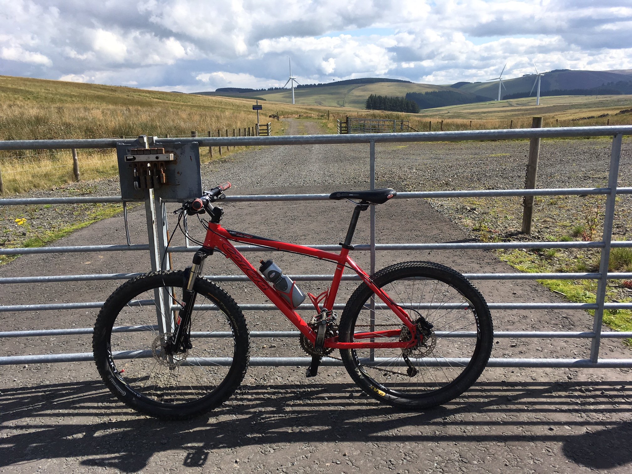
Locked gates are no object, even with five padlocks!
We lifted our bikes over and rolled off down the hill, enjoying our priveliged access to this part of the countryside. Soon we were faced with a three-pronged fork in the road, and after consulting my map, we decided on the middle one. That took us down, past some surprised sheep, to a small bridge.
The bridge was in the process of being repaired by two workmen, with whom we exchanged pleasantries. I commented how the day had turned out nicely (full sunshine now, after a rainy start), but he was more concerned about the midges. Luckily, they hadn’t found us yet, so we carried on, through gates and some difficult loose gravel, back onto a good quality landrover track.
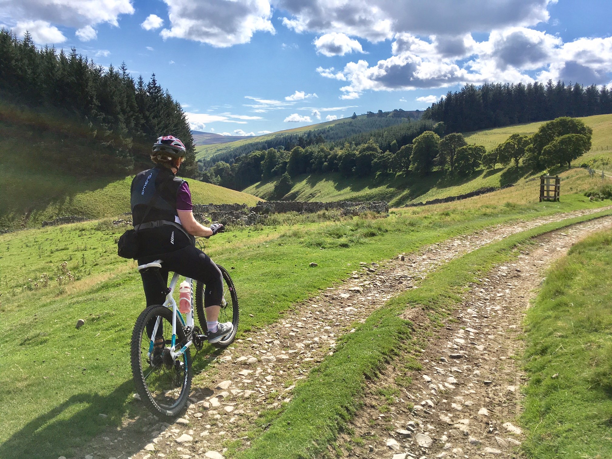
At this point, we found ourselves in a quiet, hidden valley. We stopped several times to admire the beautiful view that we were seeing for the first time. There was a small pond with a boat and fish rising at the surface. It would have been nice to go and pay a closer visit, but that might have taken too much time. I was unsure how good the path on the second off-road section was going to be, and I was concerned that we would need all the time we could get to traverse that part.
So on we went, downhill to a small collection of buildings at Carcant. We cycled through smartly, as we passed very close to the houses and didn’t want to disturb the locals. After that, a gravel road took us out onto tarmac again at the B709, where we turned right. A few miles later, we turned right again onto the B7007 and began the climb up past Garvald farm.
After a few minutes of climbing, we reached the turnoff for Blackhope Farm. At the road end there’s a signpost, signalling a path leading to Gladhouse Reservoir. I had plotted the path and uploaded it to Mapout on my phone, following the one shown on the OS map. In fact, this differed from the one actually signposted, so I stuck to the OS directions.
That way split off from the farm track a bit further down and climbed steeply up onto rough pasture, following what looked like a sheep track. It was hard going cycling on grass, and we ended up taking a few breathers along the way before we finally joined up with the signposted path just in front of a gate.
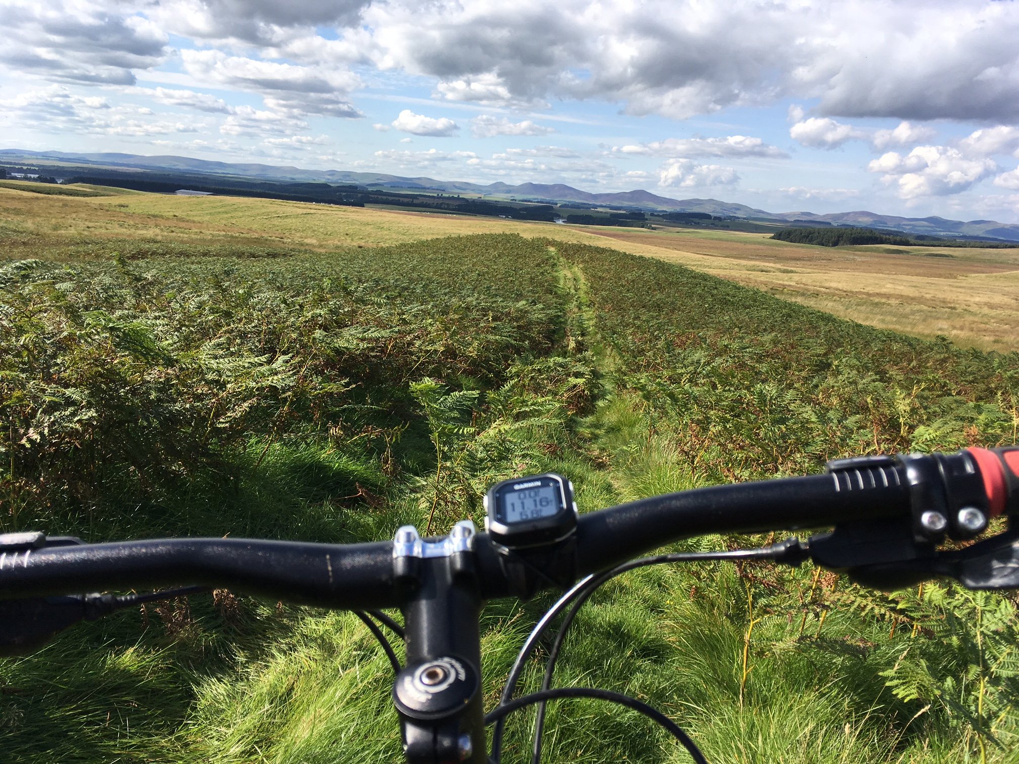
Colette went ahead and opened it; there didn’t seem to be any alternative at this point. I paused to check my map and we did indeed seem to be on the right track. The track was a double one, as if made by a quad bike or similar off-road vehicle. It ran steeply down the hillside here, where a wonderful panorama had opened up, with Gladhouse Reservoir nestling two or three miles ahead of us.
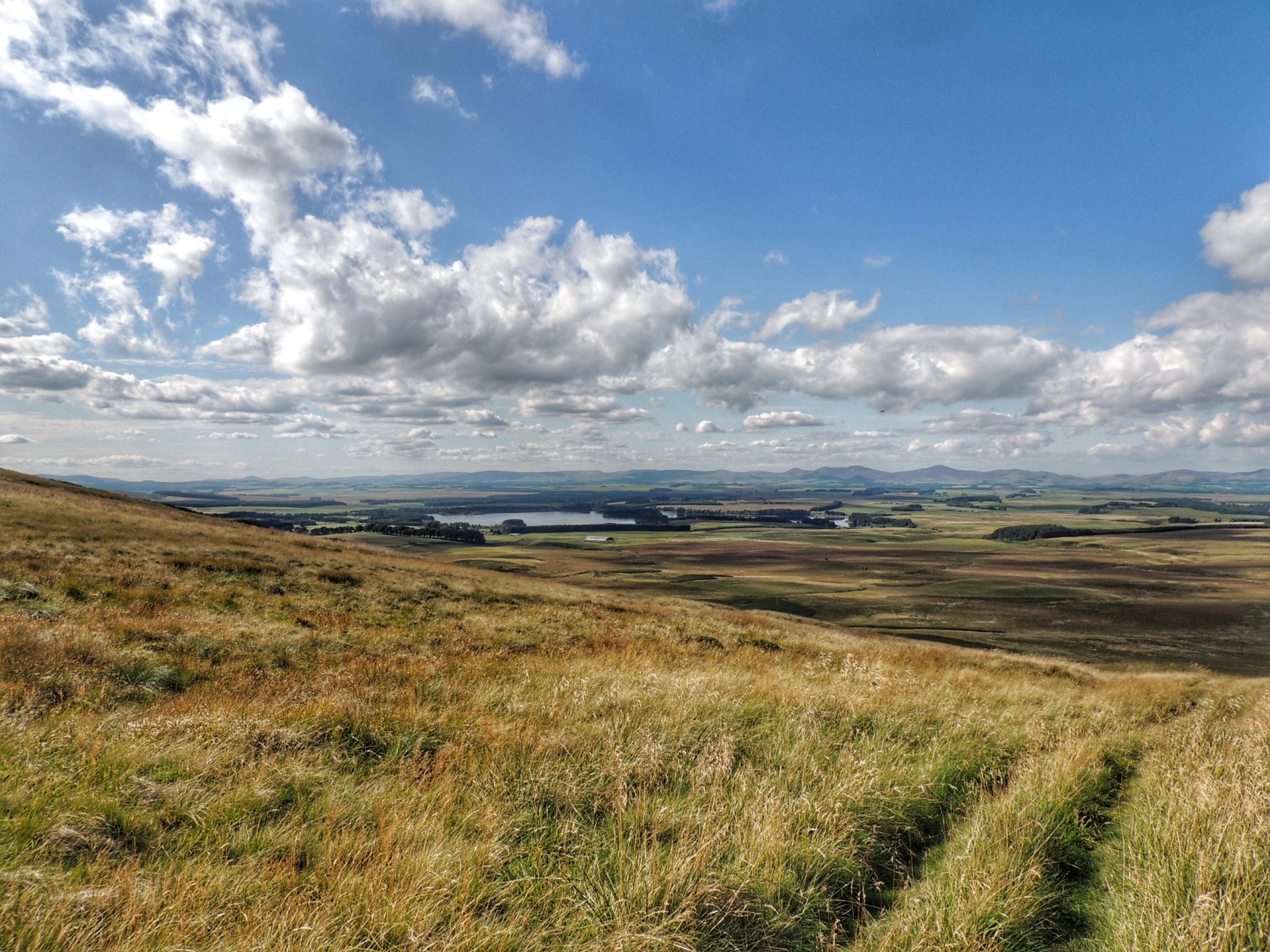
Looking over to Gladhouse Reservoir
I let myself go and freewheeled down the hillside in one of the grassy ruts. It certainly took a bit of concentration, which must have been why I managed to miss the turnoff onto the “proper” path, as shown on the OS map. I simply followed the most obvious one and didn’t even see the correct one.
Colette was a bit wary of the steepness and not being able to see where her wheel was going, so she pushed her bike down. By the time we joined up, it was clear that we had diverged from the intended path, but I was hopeful that they would reconnect further along, so we carried on. After all, the path was fairly well defined, and meaning it must be used pretty regularly, so it must take us out somewhere useful.
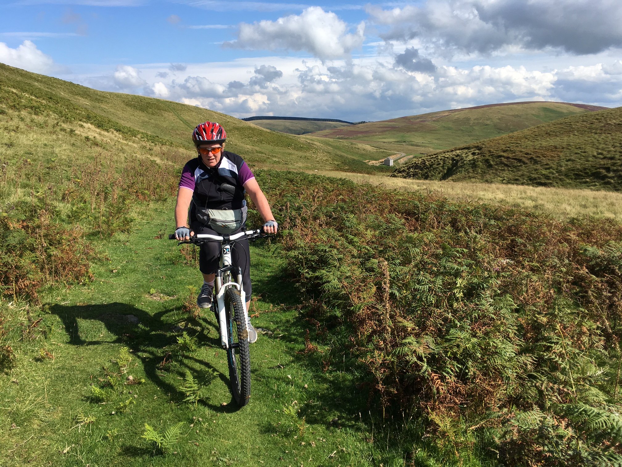
Bracken attack!
As well as the grass, we had big pathches of bracken to ride through. That was interesting, as it tended to grab at your leg as you rode through. There were also a few little dips here and there, some of them still a bit puddly after the morning rain.
While I was riding through one small puddle, it became clear that I’d made a mistake, as it was surprisingly deep, and swallowed up my front wheel completely, sending me comically over the handlebars onto a waiting bed of soft long grass. We had to laugh!
After that, we found a number of ditches to negotiate before coming back to rough pasture again. At that point, the one track split up into many, which all became less and less distinct, until we could barely work out where to go. The sight of a new deer fence between us and our destination also made me slightly nervous.
We spotted a gate in the fence, so we headed for that and went through into a newly planted plantation. Once we were in though, we worked out that the “proper” track lay on the other side of the fence at the far side of the plantation, so we decided to back track and chose a different way.
A bit further and one final ditch later, we got onto a farm track that took us past a small row of cottages to Mauldslie. There, we could see where the other end of the path exited onto the public road. It had been fun and not a little challenging to make it by our alternative route, but I was still left with a nagging feeling that we’d done it wrong.
The rest of the ride was easy, on familiar roads once more, which took us past the reservoir and swiftly back home. It had been a really enjoyable day out, and one that we will definitely repeat, if only so we can find that elusive path to Gladhouse.